Sainte-Alvère (Sainte-Alvère)
- former commune in Dordogne, France
- Country:

- Postal Code: 24510
- Coordinates: 44° 56' 48" N, 0° 48' 32" E


- GPS tracks (wikiloc): [Link]
- AboveSeaLevel: 284 м m
- Area: 32.42 sq km
- Population: 821
- Wikipedia en: wiki(en)
- Wikipedia: wiki(fr)
- Wikidata storage: Wikidata: Q1011437
- Wikipedia Commons Category: [Link]
- Freebase ID: [/m/03mg856]
- Freebase ID: [/m/03mg856]
- GeoNames ID: Alt: [2981857]
- GeoNames ID: Alt: [2981857]
- BnF ID: [152520074]
- BnF ID: [152520074]
- VIAF ID: Alt: [130218287]
- VIAF ID: Alt: [130218287]
- Library of Congress authority ID: Alt: [nr95028893]
- Library of Congress authority ID: Alt: [nr95028893]
- INSEE municipality code: 24362
- INSEE municipality code: 24362
Shares border with regions:


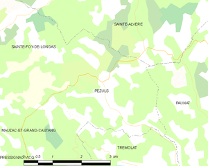
Pezuls
- commune in Dordogne, France
- Country:

- Postal Code: 24510
- Coordinates: 44° 54' 48" N, 0° 48' 27" E


- GPS tracks (wikiloc): [Link]
- Area: 10.38 sq km
- Population: 113


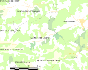
Sainte-Foy-de-Longas
- commune in Dordogne, France
- Country:

- Postal Code: 24510
- Coordinates: 44° 55' 31" N, 0° 45' 2" E


- GPS tracks (wikiloc): [Link]
- Area: 16.18 sq km
- Population: 238


Cendrieux
- former commune in Dordogne, France
- Country:

- Postal Code: 24380
- Coordinates: 44° 59' 46" N, 0° 49' 22" E


- GPS tracks (wikiloc): [Link]
- Area: 30.23 sq km
- Population: 581
- Web site: [Link]
