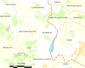
Sainte-Eulalie-d'Eymet (Sainte-Eulalie-d'Eymet)

- commune in Dordogne, France
- Country:

- Postal Code: 24500
- Coordinates: 44° 42' 4" N, 0° 21' 57" E


- GPS tracks (wikiloc): [Link]
- Area: 6.72 sq km
- Population: 84
- Wikipedia en: wiki(en)
- Wikipedia: wiki(fr)
- Wikidata storage: Wikidata: Q1077721
- Wikipedia Commons Category: [Link]
- Freebase ID: [/m/03mg889]
- Freebase ID: [/m/03mg889]
- GeoNames ID: Alt: [6429537]
- GeoNames ID: Alt: [6429537]
- SIREN number: [212404024]
- SIREN number: [212404024]
- BnF ID: [152520461]
- BnF ID: [152520461]
- PACTOLS thesaurus ID: [pcrtbaNuym5zes]
- PACTOLS thesaurus ID: [pcrtbaNuym5zes]
- INSEE municipality code: 24402
- INSEE municipality code: 24402
Shares border with regions:


Thénac
- commune in Dordogne, France
- Country:
- Postal Code: 24240
- Coordinates: 44° 45' 1" N, 0° 20' 28" E
- GPS tracks (wikiloc): [Link]
- Area: 20.34 sq km
- Population: 447


Loubès-Bernac
- commune in Lot-et-Garonne, France
- Country:
- Postal Code: 47120
- Coordinates: 44° 43' 51" N, 0° 17' 39" E
- GPS tracks (wikiloc): [Link]
- Area: 19.31 sq km
- Population: 389

Soumensac
- commune in Lot-et-Garonne, France
- Country:
- Postal Code: 47120
- Coordinates: 44° 41' 23" N, 0° 19' 37" E
- GPS tracks (wikiloc): [Link]
- Area: 11.42 sq km
- Population: 234