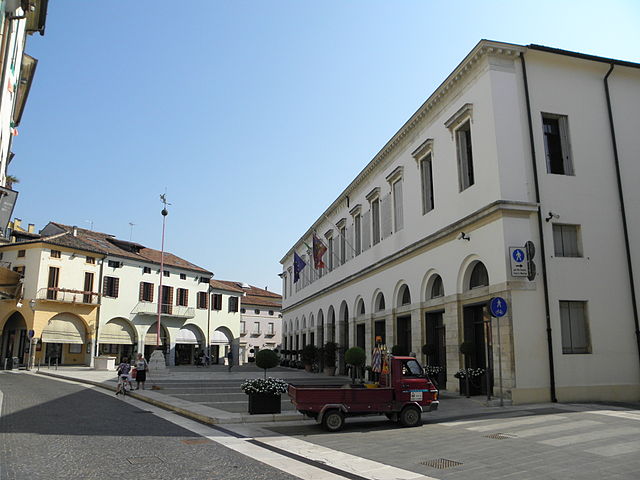
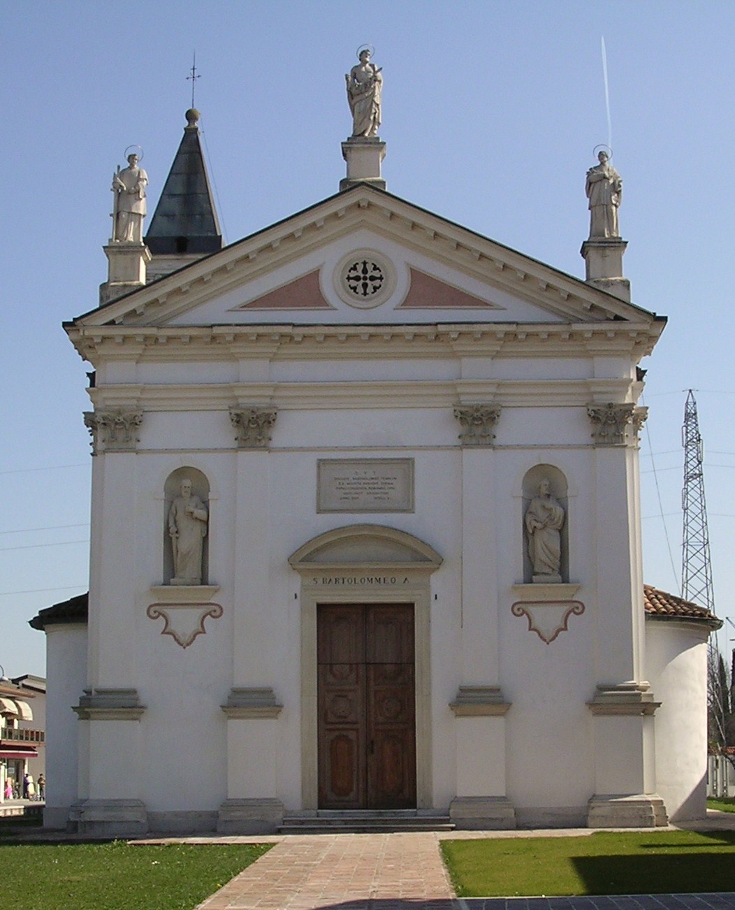
Sant'Angelo di Piove di Sacco (Sant'Angelo di Piove di Sacco)
.svg)
- Italian comune
 Hiking in Sant'Angelo di Piove di Sacco
Sant'Angelo di Piove di Sacco, located in the Veneto region of Italy, is not particularly known for its hiking trails compared to other more mountainous areas in the region. However, it offers some scenic walking paths and routes that allow you to enjoy the natural beauty and local landscapes. Here are a few things to consider if you're planning to hike in and around Sant'Angelo di Piove di Sacco:
-
Local Trails: While the area might not boast extensive hiking trails, there are local paths around the countryside and near the canals that can provide a pleasant walking experience. You might find trails that lead through agricultural fields, small woodlands, and along waterways.
-
Nearby Natural Parks: For more extensive hiking opportunities, consider exploring the nearby natural parks, such as the Regional Park of the Euganean Hills (Parco Regionale dei Colli Euganei). It's about a 30-40 minute drive from Sant'Angelo di Piove di Sacco and offers a variety of trails ranging from easy walks to more challenging hikes with stunning views.
-
Flora and Fauna: While hiking, take time to observe the local flora and fauna. The area has a mix of rural landscapes, canals, and small forests, which can be home to various bird species and other wildlife.
-
Accessibility: Sant'Angelo di Piove di Sacco is conveniently located near major roads, making it easy to travel to nearby hiking destinations. European hiking associations or local tourist offices can also provide maps and advice.
-
Cultural Experience: Incorporate local culture into your hiking experience. After hiking, you might find charming local restaurants or cafes where you can enjoy regional cuisine.
-
Weather Considerations: Be mindful of the weather, especially during the summer months when it can be hot and humid. Spring and autumn often provide more comfortable temperatures for outdoor activities.
While Sant'Angelo di Piove di Sacco may not be a hiking hotspot, it can serve as a base for exploring the wider natural beauty of the Veneto region if you're willing to travel a little. Always remember to plan ahead, respect nature, and enjoy your hike!
- Country:

- Postal Code: 35020
- Local Dialing Code: 049
- Licence Plate Code: PD
- Coordinates: 45° 20' 44" N, 12° 0' 26" E


- GPS tracks (wikiloc): [Link]
- AboveSeaLevel: 8 м m
- Area: 13.97 sq km
- Population: 7170
- Web site: http://www.comunesantalucia.it
- Wikipedia en: wiki(en)
- Wikipedia: wiki(it)
- Wikidata storage: Wikidata: Q34535
- Wikipedia Commons Category: [Link]
- Freebase ID: [/m/0gk5fv]
- GeoNames ID: Alt: [6536296]
- VIAF ID: Alt: [235290866]
- OSM relation ID: [44733]
- UN/LOCODE: [ITANJ]
- ISTAT ID: 028082
- Italian cadastre code: I275
Shares border with regions:
Piove di Sacco
- Italian comune
Hiking in Piove di Sacco
Piove di Sacco, a charming town in the Veneto region of Italy, is not typically known as a hiking destination in the same way that larger national parks or mountainous areas are. However, there are certainly opportunities for hiking and enjoying the natural scenery in and around the area....
- Country:
- Postal Code: 35028
- Local Dialing Code: 049
- Licence Plate Code: PD
- Coordinates: 45° 17' 48" N, 12° 2' 13" E
- GPS tracks (wikiloc): [Link]
- AboveSeaLevel: 5 м m
- Area: 35.73 sq km
- Population: 19902
- Web site: [Link]
Legnaro
- Italian comune
Hiking in Legnaro
Legnaro is a small town located in the Veneto region of Italy, near the city of Padua. While it is not typically known as a popular hiking destination, there are opportunities for nature walks and exploration in the surrounding areas....
- Country:
- Postal Code: 35020
- Local Dialing Code: 049
- Licence Plate Code: PD
- Coordinates: 45° 21' 0" N, 11° 58' 0" E
- GPS tracks (wikiloc): [Link]
- AboveSeaLevel: 8 м m
- Area: 14.91 sq km
- Population: 8948
- Web site: [Link]

Brugine
- Italian comune
Hiking in Brugine
Brugine, located in the Veneto region of Italy, is not primarily known as a hiking destination like some of the more mountainous areas of Italy. However, it offers a unique rural landscape that can be appealing for leisurely walks and gentle hikes. Here are some details that could enhance your hiking experience in and around Brugine:...
- Country:
- Postal Code: 35020
- Local Dialing Code: 049
- Licence Plate Code: PD
- Coordinates: 45° 18' 0" N, 11° 59' 33" E
- GPS tracks (wikiloc): [Link]
- AboveSeaLevel: 7 м m
- Area: 19.55 sq km
- Population: 7116
- Web site: [Link]

Saonara
- Italian comune
Hiking in Saonara
Saonara is a charming town in the province of Padua, Italy, known primarily for its local culture and scenic landscapes. While the area itself may not be as widely recognized for hiking as some of Italy's major national parks or mountainous regions, there are still some outdoor activities and nearby hiking opportunities to explore....
- Country:
- Postal Code: 35020
- Local Dialing Code: 049
- Licence Plate Code: PD
- Coordinates: 45° 22' 13" N, 11° 59' 2" E
- GPS tracks (wikiloc): [Link]
- AboveSeaLevel: 10 м m
- Area: 13.54 sq km
- Population: 10422
- Web site: [Link]
Campolongo Maggiore
- Italian comune
Hiking in Campolongo Maggiore
Campolongo Maggiore is a municipality located in the Veneto region of Italy, not far from Venice. While it might not be as well-known for hiking as some of the more mountainous areas in Italy, there are still opportunities for outdoor activities in and around this region, particularly for those who enjoy gentler walks and exploring the local countryside....
- Country:
- Postal Code: 30010
- Local Dialing Code: 049
- Licence Plate Code: VE
- Coordinates: 45° 20' 1" N, 12° 3' 16" E
- GPS tracks (wikiloc): [Link]
- AboveSeaLevel: 4 м m
- Area: 23.61 sq km
- Population: 10678
- Web site: [Link]

Fossò
- Italian comune
Hiking in Fossò
Fossò is a small town located in the Veneto region of Italy, not typically known for extensive hiking trails like some of the larger national parks or mountainous areas of the country. However, it does offer opportunities for nature walks and exploring the surrounding countryside. If you're interested in hiking in this region, here are some suggestions:...
- Country:
- Postal Code: 30030
- Local Dialing Code: 041
- Licence Plate Code: VE
- Coordinates: 45° 23' 0" N, 12° 3' 0" E
- GPS tracks (wikiloc): [Link]
- AboveSeaLevel: 9 м m
- Area: 10.18 sq km
- Population: 7041
- Web site: [Link]


Vigonovo
- comune of Italy
Hiking in Vigonovo
Vigonovo is a small town located in the Veneto region of Italy, near Venice. While it may not be as well-known as other hiking destinations, the surrounding area does offer some opportunities for outdoor activities, including hiking....
- Country:
- Postal Code: 30030
- Local Dialing Code: 049
- Licence Plate Code: VE
- Coordinates: 45° 23' 7" N, 12° 0' 26" E
- GPS tracks (wikiloc): [Link]
- AboveSeaLevel: 15 м m
- Area: 12.87 sq km
- Population: 10016
- Web site: [Link]