Saulges (Saulges)

- commune in Mayenne, France
- Country:

- Postal Code: 53340
- Coordinates: 47° 58' 57" N, 0° 24' 21" E


- GPS tracks (wikiloc): [Link]
- Area: 21.81 sq km
- Population: 312
- Wikipedia en: wiki(en)
- Wikipedia: wiki(fr)
- Wikidata storage: Wikidata: Q1100174
- Wikipedia Commons Category: [Link]
- Freebase ID: [/m/03nq12t]
- GeoNames ID: Alt: [2975824]
- SIREN number: [215302571]
- BnF ID: [15264050z]
- WOEID: [12669507]
- Digital Atlas of the Roman Empire ID: [10344]
- INSEE municipality code: 53257
Shares border with regions:


Ballée
- former commune in Mayenne, France
- Country:
- Postal Code: 53340
- Coordinates: 47° 55' 57" N, 0° 24' 58" E
- GPS tracks (wikiloc): [Link]
- Area: 14.19 sq km
- Population: 675


Vaiges
- commune in Mayenne, France
- Country:
- Postal Code: 53480
- Coordinates: 48° 2' 27" N, 0° 28' 34" E
- GPS tracks (wikiloc): [Link]
- Area: 36.26 sq km
- Population: 1152

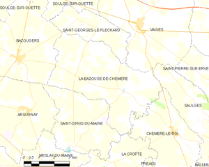
La Bazouge-de-Chemeré
- commune in Mayenne, France
- Country:
- Postal Code: 53170
- Coordinates: 48° 0' 3" N, 0° 29' 15" E
- GPS tracks (wikiloc): [Link]
- Area: 24.84 sq km
- Population: 515

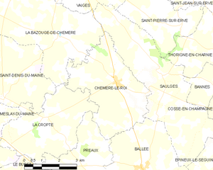
Chémeré-le-Roi
- commune in Mayenne, France
- Country:
- Postal Code: 53340
- Coordinates: 47° 58' 41" N, 0° 26' 26" E
- GPS tracks (wikiloc): [Link]
- Area: 15.18 sq km
- Population: 414


Bannes
- commune in Mayenne, France
- Country:
- Postal Code: 53340
- Coordinates: 47° 58' 55" N, 0° 21' 5" E
- GPS tracks (wikiloc): [Link]
- Area: 8.32 sq km
- Population: 125


Saint-Pierre-sur-Erve
- commune in Mayenne, France
- Country:
- Postal Code: 53270
- Coordinates: 48° 0' 29" N, 0° 23' 35" E
- GPS tracks (wikiloc): [Link]
- Area: 9.74 sq km
- Population: 141


Thorigné-en-Charnie
- commune in Mayenne, France
- Country:
- Postal Code: 53270
- Coordinates: 48° 0' 2" N, 0° 21' 29" E
- GPS tracks (wikiloc): [Link]
- Area: 17.57 sq km
- Population: 193


Cossé-en-Champagne
- commune in Mayenne, France
- Country:
- Postal Code: 53340
- Coordinates: 47° 57' 46" N, 0° 20' 2" E
- GPS tracks (wikiloc): [Link]
- Area: 20.88 sq km
- Population: 322
- Web site: [Link]


Épineux-le-Seguin
- former commune in Mayenne, France
- Country:
- Postal Code: 53340
- Coordinates: 47° 56' 31" N, 0° 21' 38" E
- GPS tracks (wikiloc): [Link]
- Area: 9.48 sq km
- Population: 240