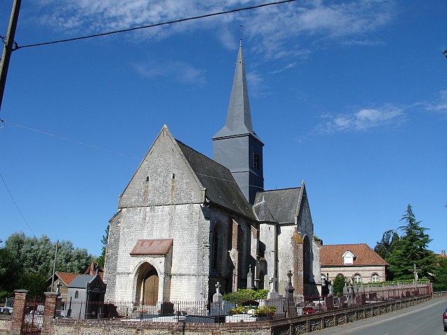
Sempy (Sempy)

- commune in Pas-de-Calais, France
- Country:

- Postal Code: 62170
- Coordinates: 50° 29' 36" N, 1° 52' 41" E


- GPS tracks (wikiloc): [Link]
- Area: 8 sq km
- Population: 328
- Wikipedia en: wiki(en)
- Wikipedia: wiki(fr)
- Wikidata storage: Wikidata: Q470263
- Wikipedia Commons Category: [Link]
- Freebase ID: [/m/02z987n]
- GeoNames ID: Alt: [6439890]
- SIREN number: [216207878]
- BnF ID: [15269228j]
- OSM relation ID: [1216375]
- INSEE municipality code: 62787
Shares border with regions:


Aix-en-Issart
- commune in Pas-de-Calais, France
- Country:
- Postal Code: 62170
- Coordinates: 50° 28' 36" N, 1° 51' 31" E
- GPS tracks (wikiloc): [Link]
- Area: 10.1 sq km
- Population: 266


Saint-Denœux
- commune in Pas-de-Calais, France
- Country:
- Postal Code: 62990
- Coordinates: 50° 28' 20" N, 1° 54' 20" E
- GPS tracks (wikiloc): [Link]
- Area: 4.03 sq km
- Population: 160
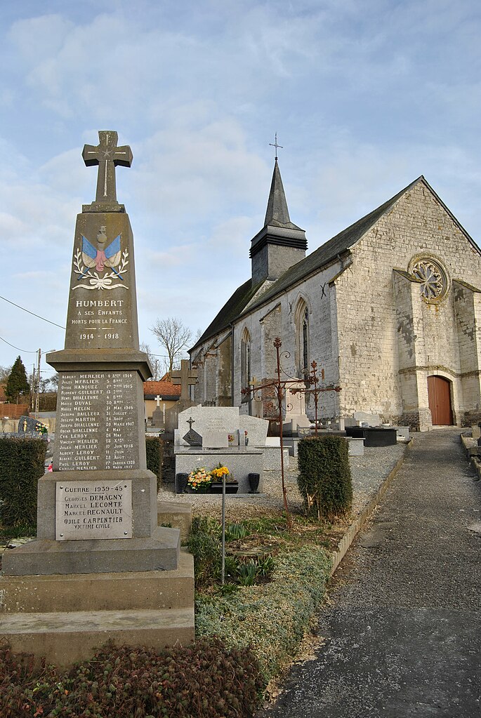

Humbert
- commune in Pas-de-Calais, France
- Country:
- Postal Code: 62650
- Coordinates: 50° 30' 17" N, 1° 54' 25" E
- GPS tracks (wikiloc): [Link]
- Area: 7.85 sq km
- Population: 232

Alette
- commune in Pas-de-Calais, France
- Country:
- Postal Code: 62650
- Coordinates: 50° 31' 5" N, 1° 49' 41" E
- GPS tracks (wikiloc): [Link]
- AboveSeaLevel: 32 м m
- Area: 13.87 sq km
- Population: 386

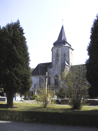
Clenleu
- commune in Pas-de-Calais, France
- Country:
- Postal Code: 62650
- Coordinates: 50° 31' 23" N, 1° 52' 13" E
- GPS tracks (wikiloc): [Link]
- Area: 7.26 sq km
- Population: 199