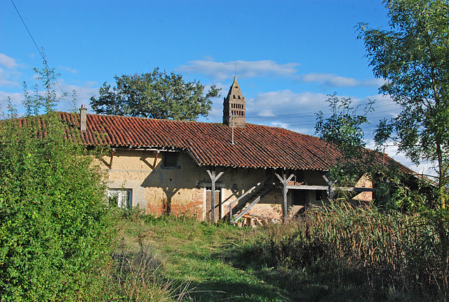
Servignat (Servignat)
- commune in Ain, France
- Country:

- Postal Code: 01560
- Coordinates: 46° 26' 1" N, 5° 4' 10" E


- GPS tracks (wikiloc): [Link]
- Area: 7.99 sq km
- Population: 176
- Wikipedia en: wiki(en)
- Wikipedia: wiki(fr)
- Wikidata storage: Wikidata: Q841399
- Wikipedia Commons Category: [Link]
- Wikipedia Commons Maps Category: [Link]
- Freebase ID: [/m/03m59cw]
- Freebase ID: [/m/03m59cw]
- GeoNames ID: Alt: [6424704]
- GeoNames ID: Alt: [6424704]
- SIREN number: [210104063]
- SIREN number: [210104063]
- INSEE municipality code: 01406
- INSEE municipality code: 01406
Shares border with regions:

Mantenay-Montlin
- commune in Ain, France
- Country:
- Postal Code: 01560
- Coordinates: 46° 25' 28" N, 5° 5' 54" E
- GPS tracks (wikiloc): [Link]
- Area: 10.8 sq km
- Population: 308

Chavannes-sur-Reyssouze
- commune in Ain, France
- Country:
- Postal Code: 01190
- Coordinates: 46° 25' 50" N, 4° 59' 35" E
- GPS tracks (wikiloc): [Link]
- Area: 16.55 sq km
- Population: 748

Saint-Trivier-de-Courtes
- commune in Ain, France
- Country:
- Postal Code: 01560
- Coordinates: 46° 27' 35" N, 5° 4' 53" E
- GPS tracks (wikiloc): [Link]
- Area: 16.53 sq km
- Population: 1097
- Web site: [Link]

Saint-Jean-sur-Reyssouze
- commune in Ain, France
- Country:
- Postal Code: 01560
- Coordinates: 46° 23' 46" N, 5° 3' 46" E
- GPS tracks (wikiloc): [Link]
- Area: 27.48 sq km
- Population: 731
- Web site: [Link]