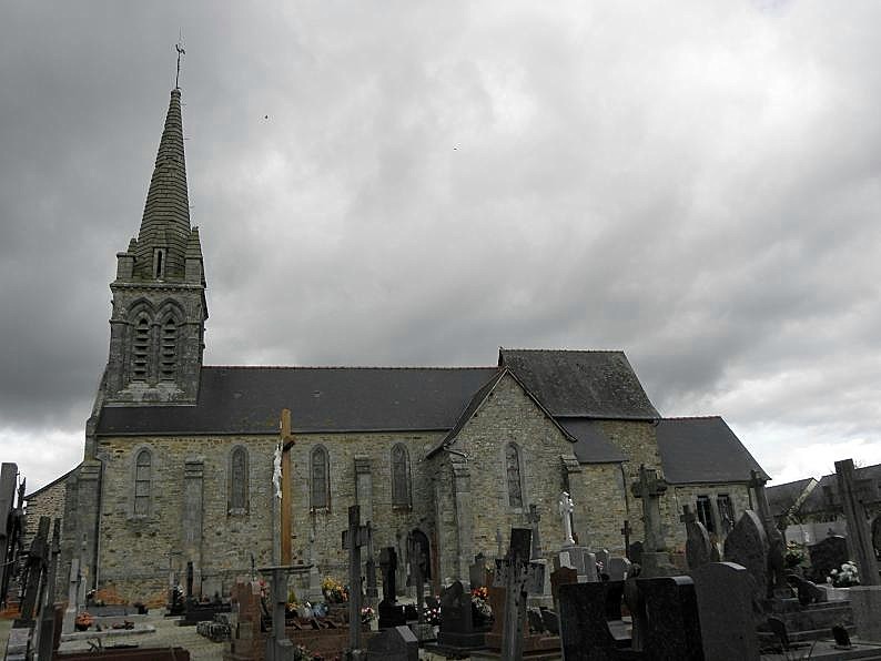
Taillis (Taillis)

- commune in Ille-et-Vilaine, France
- Country:

- Postal Code: 35500
- Coordinates: 48° 11' 20" N, 1° 14' 20" E


- GPS tracks (wikiloc): [Link]
- Area: 12.27 sq km
- Population: 1010
- Web site: http://www.taillis.com
- Wikipedia en: wiki(en)
- Wikipedia: wiki(fr)
- Wikidata storage: Wikidata: Q657826
- Wikipedia Commons Category: [Link]
- Freebase ID: [/m/03m8qf_]
- Freebase ID: [/m/03m8qf_]
- GeoNames ID: Alt: [6432875]
- GeoNames ID: Alt: [6432875]
- SIREN number: [213503303]
- SIREN number: [213503303]
- BnF ID: [152572710]
- BnF ID: [152572710]
- VIAF ID: Alt: [241841638]
- VIAF ID: Alt: [241841638]
- OSM relation ID: [146420]
- OSM relation ID: [146420]
- INSEE municipality code: 35330
- INSEE municipality code: 35330
Shares border with regions:

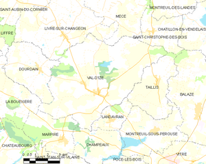
Val-d'Izé
- commune in Ille-et-Vilaine, France
- Country:
- Postal Code: 35450
- Coordinates: 48° 10' 38" N, 1° 18' 17" E
- GPS tracks (wikiloc): [Link]
- Area: 43.79 sq km
- Population: 2588
- Web site: [Link]

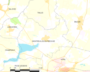
Montreuil-sous-Pérouse
- commune in Ille-et-Vilaine, France
- Country:
- Postal Code: 35500
- Coordinates: 48° 9' 3" N, 1° 14' 12" E
- GPS tracks (wikiloc): [Link]
- AboveSeaLevel: 64 м m
- Area: 15.49 sq km
- Population: 1023
- Web site: [Link]

Landavran
- commune in Ille-et-Vilaine, France
- Country:
- Postal Code: 35450
- Coordinates: 48° 9' 32" N, 1° 17' 22" E
- GPS tracks (wikiloc): [Link]
- AboveSeaLevel: 113 м m
- Area: 5.01 sq km
- Population: 688
- Web site: [Link]


Saint-Christophe-des-Bois
- commune in Ille-et-Vilaine, France
- Country:
- Postal Code: 35210
- Coordinates: 48° 13' 36" N, 1° 14' 51" E
- GPS tracks (wikiloc): [Link]
- Area: 9.26 sq km
- Population: 599
- Web site: [Link]


Balazé
- commune in Ille-et-Vilaine, France
- Country:
- Postal Code: 35500
- Coordinates: 48° 10' 5" N, 1° 11' 30" E
- GPS tracks (wikiloc): [Link]
- Area: 36.66 sq km
- Population: 2270
- Web site: [Link]