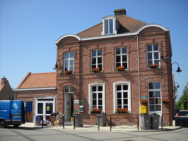
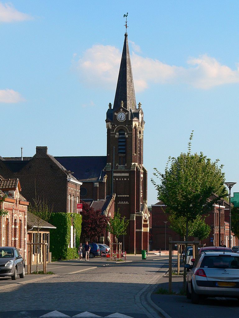
Templeuve-en-Pévèle (Templeuve-en-Pévèle)

- commune in Nord, France
- Country:

- Postal Code: 59242
- Coordinates: 50° 31' 36" N, 3° 10' 30" E


- GPS tracks (wikiloc): [Link]
- Area: 15.84 sq km
- Population: 5930
- Web site: http://www.ville-templeuve.fr/
- Wikipedia en: wiki(en)
- Wikipedia: wiki(fr)
- Wikidata storage: Wikidata: Q1160662
- Wikipedia Commons Category: [Link]
- Freebase ID: [/m/03h2y21]
- Freebase ID: [/m/03h2y21]
- GeoNames ID: Alt: [6438515]
- GeoNames ID: Alt: [6438515]
- SIREN number: [215905860]
- SIREN number: [215905860]
- BnF ID: [15267158q]
- BnF ID: [15267158q]
- VIAF ID: Alt: [236983646]
- VIAF ID: Alt: [236983646]
- archINFORM location ID: [42196]
- archINFORM location ID: [42196]
- Library of Congress authority ID: Alt: [n2006027267]
- Library of Congress authority ID: Alt: [n2006027267]
- WOEID: [628202]
- WOEID: [628202]
- INSEE municipality code: 59586
- INSEE municipality code: 59586
Shares border with regions:

Péronne-en-Mélantois
- commune in Nord, France
- Country:
- Postal Code: 59273
- Coordinates: 50° 34' 4" N, 3° 10' 7" E
- GPS tracks (wikiloc): [Link]
- Area: 1.14 sq km
- Population: 903


Fretin
- commune in Nord, France
- Country:
- Postal Code: 59273
- Coordinates: 50° 33' 27" N, 3° 8' 3" E
- GPS tracks (wikiloc): [Link]
- Area: 13.17 sq km
- Population: 3377
- Web site: [Link]


Cysoing
- commune in Nord, France
- Country:
- Postal Code: 59830
- Coordinates: 50° 34' 6" N, 3° 12' 54" E
- GPS tracks (wikiloc): [Link]
- Area: 13.62 sq km
- Population: 4975


Louvil
- commune in Nord, France
- Country:
- Postal Code: 59830
- Coordinates: 50° 33' 32" N, 3° 11' 39" E
- GPS tracks (wikiloc): [Link]
- Area: 2.5 sq km
- Population: 813
- Web site: [Link]


Genech
- commune in Nord, France
- Country:
- Postal Code: 59242
- Coordinates: 50° 31' 51" N, 3° 12' 59" E
- GPS tracks (wikiloc): [Link]
- Area: 7.46 sq km
- Population: 2667


Ennevelin
- commune in Nord, France
- Country:
- Postal Code: 59710
- Coordinates: 50° 32' 29" N, 3° 7' 46" E
- GPS tracks (wikiloc): [Link]
- Area: 9.92 sq km
- Population: 2171
- Web site: [Link]


Mérignies
- commune in Nord, France
- Country:
- Postal Code: 59710
- Coordinates: 50° 30' 20" N, 3° 6' 36" E
- GPS tracks (wikiloc): [Link]
- Area: 8.61 sq km
- Population: 2898
- Web site: [Link]

Cappelle-en-Pévèle
- commune in Nord, France
- Country:
- Postal Code: 59242
- Coordinates: 50° 30' 37" N, 3° 10' 21" E
- GPS tracks (wikiloc): [Link]
- Area: 8.11 sq km
- Population: 2255
- Web site: [Link]

Nomain
- commune in Nord, France
- Country:
- Postal Code: 59310
- Coordinates: 50° 29' 56" N, 3° 15' 1" E
- GPS tracks (wikiloc): [Link]
- Area: 19.11 sq km
- Population: 2474