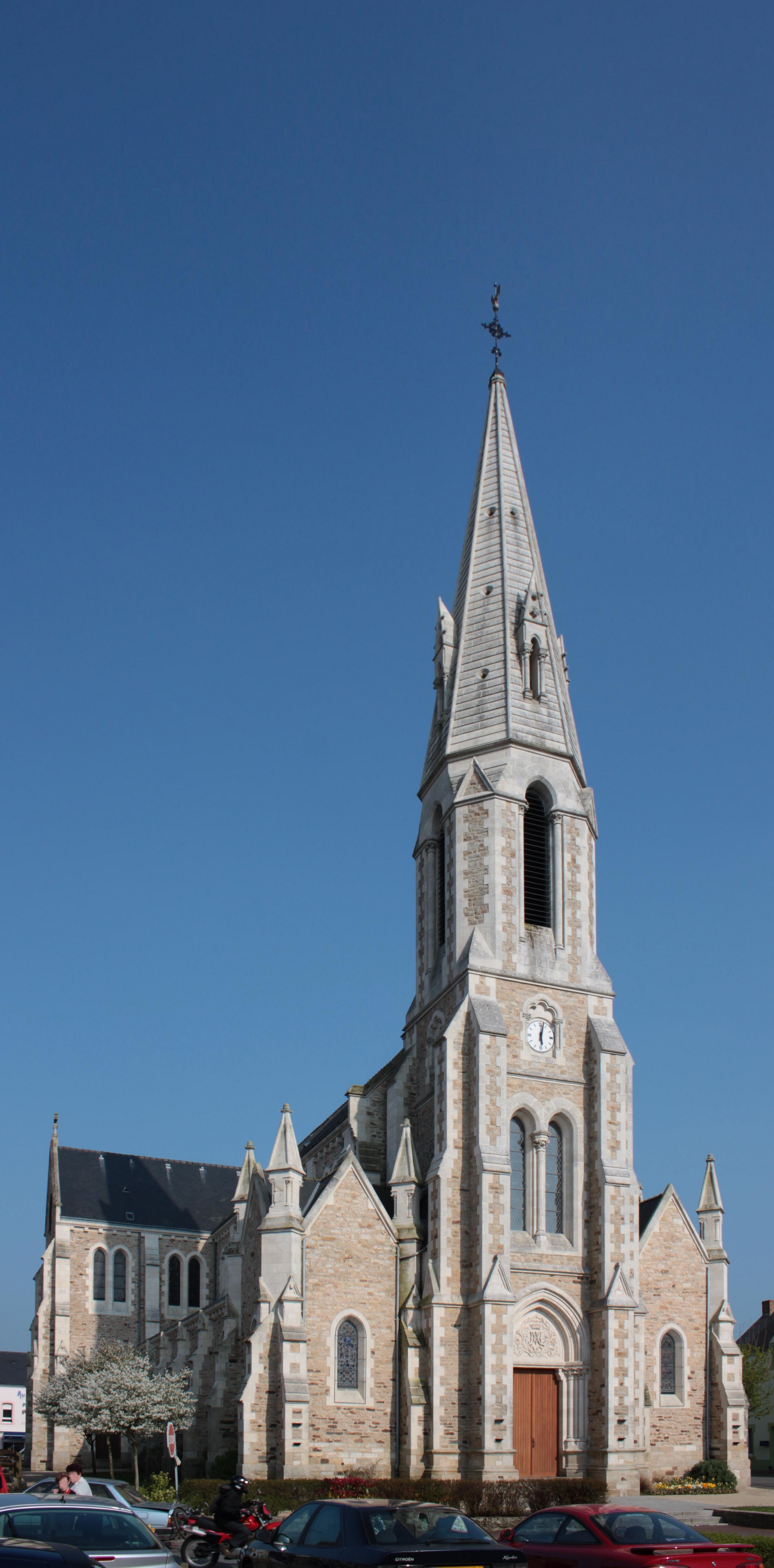
Théhillac (Théhillac)

- commune in Morbihan, France
- Country:

- Postal Code: 56130
- Coordinates: 47° 34' 4" N, 2° 6' 59" E


- GPS tracks (wikiloc): [Link]
- Area: 14.46 sq km
- Population: 569
- Web site: http://www.thehillac.fr
- Wikipedia en: wiki(en)
- Wikipedia: wiki(fr)
- Wikidata storage: Wikidata: Q739284
- Wikipedia Commons Category: [Link]
- Freebase ID: [/m/03cbp4q]
- GeoNames ID: Alt: [6437402]
- SIREN number: [215602509]
- BnF ID: [15265499n]
- INSEE municipality code: 56250
Shares border with regions:


Fégréac
- commune in Loire-Atlantique, France
- Country:
- Postal Code: 44460
- Coordinates: 47° 35' 5" N, 2° 2' 40" E
- GPS tracks (wikiloc): [Link]
- Area: 44.18 sq km
- Population: 2440
- Web site: [Link]


Rieux
- commune in Morbihan, France
- Country:
- Postal Code: 56350
- Coordinates: 47° 35' 52" N, 2° 6' 27" E
- GPS tracks (wikiloc): [Link]
- Area: 27.78 sq km
- Population: 2848
- Web site: [Link]

Saint-Dolay
- commune in Morbihan, France
- Country:
- Postal Code: 56130
- Coordinates: 47° 32' 41" N, 2° 9' 16" E
- GPS tracks (wikiloc): [Link]
- Area: 48.26 sq km
- Population: 2445
- Web site: [Link]


Missillac
- commune in Loire-Atlantique, France
- Country:
- Postal Code: 44780
- Coordinates: 47° 28' 56" N, 2° 9' 32" E
- GPS tracks (wikiloc): [Link]
- Area: 59.55 sq km
- Population: 5199
- Web site: [Link]
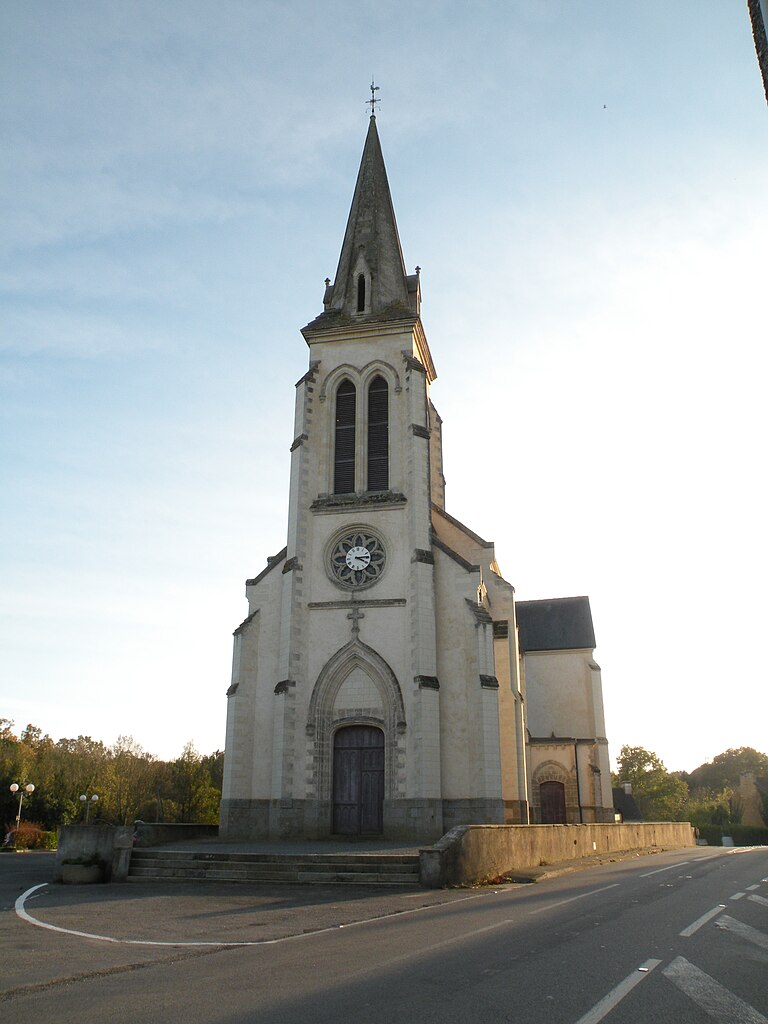
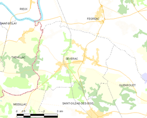
Sévérac
- commune in Loire-Atlantique, France
- Country:
- Postal Code: 44530
- Coordinates: 47° 33' 0" N, 2° 4' 36" E
- GPS tracks (wikiloc): [Link]
- Area: 22.41 sq km
- Population: 1632
- Web site: [Link]