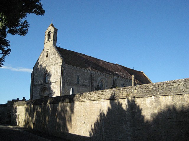
Thaon (Thaon)

- commune in Calvados, France
- Country:

- Postal Code: 14610
- Coordinates: 49° 15' 29" N, 0° 27' 21" E


- GPS tracks (wikiloc): [Link]
- Area: 8.3 sq km
- Population: 1434
- Web site: http://www.mairiethaon14.fr
- Wikipedia en: wiki(en)
- Wikipedia: wiki(fr)
- Wikidata storage: Wikidata: Q549280
- Wikipedia Commons Category: [Link]
- Freebase ID: [/m/03zt4s]
- GeoNames ID: Alt: [6453683]
- SIREN number: [211406855]
- BnF ID: [15248093s]
- PACTOLS thesaurus ID: [pcrtpD3PRso7nu]
- INSEE municipality code: 14685
Shares border with regions:


Fontaine-Henry
- commune in Calvados, France
- Country:
- Postal Code: 14610
- Coordinates: 49° 16' 37" N, 0° 27' 19" E
- GPS tracks (wikiloc): [Link]
- Area: 5.81 sq km
- Population: 473
- Web site: [Link]


Basly
- commune in Calvados, France
- Country:
- Postal Code: 14610
- Coordinates: 49° 16' 46" N, 0° 25' 23" E
- GPS tracks (wikiloc): [Link]
- Area: 3.92 sq km
- Population: 1152


Colomby-sur-Thaon
- former commune in Calvados, France
- Country:
- Postal Code: 14610
- Coordinates: 49° 15' 54" N, 0° 24' 42" E
- GPS tracks (wikiloc): [Link]
- Area: 2.76 sq km
- Population: 389

Anisy
- commune in Calvados, France
- Country:
- Postal Code: 14610
- Coordinates: 49° 15' 5" N, 0° 23' 31" E
- GPS tracks (wikiloc): [Link]
- Area: 4.19 sq km
- Population: 712


Cairon
- commune in Calvados, France
- Country:
- Postal Code: 14610
- Coordinates: 49° 14' 4" N, 0° 26' 49" E
- GPS tracks (wikiloc): [Link]
- Area: 5.91 sq km
- Population: 1947
- Web site: [Link]


Lasson
- former commune in Calvados, France
- Country:
- Postal Code: 14740
- Coordinates: 49° 14' 1" N, 0° 27' 49" E
- GPS tracks (wikiloc): [Link]
- Area: 4.02 sq km
- Population: 566
- Web site: [Link]


Le Fresne-Camilly
- commune in Calvados, France
- Country:
- Postal Code: 14480
- Coordinates: 49° 15' 38" N, 0° 29' 15" E
- GPS tracks (wikiloc): [Link]
- Area: 7.06 sq km
- Population: 850
- Web site: [Link]