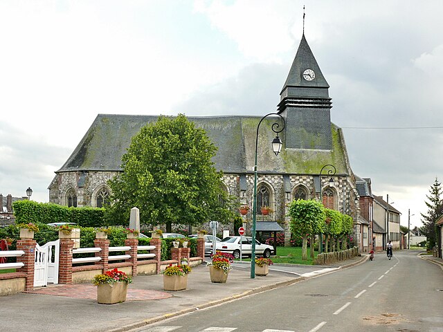
Thieuloy-Saint-Antoine (Thieuloy-Saint-Antoine)

- commune in Oise, France
- Country:

- Postal Code: 60210
- Coordinates: 49° 38' 3" N, 1° 56' 46" E


- GPS tracks (wikiloc): [Link]
- Area: 2.49 sq km
- Population: 391
- Wikipedia en: wiki(en)
- Wikipedia: wiki(fr)
- Wikidata storage: Wikidata: Q1332453
- Wikipedia Commons Category: [Link]
- Freebase ID: [/m/03qg5fb]
- GeoNames ID: Alt: [6438994]
- SIREN number: [216006247]
- BnF ID: [152678668]
- INSEE municipality code: 60633
Shares border with regions:
Briot
- commune in Oise, France
- Country:
- Postal Code: 60210
- Coordinates: 49° 39' 0" N, 1° 55' 26" E
- GPS tracks (wikiloc): [Link]
- Area: 6.49 sq km
- Population: 274


Saint-Maur
- commune in Oise, France
- Country:
- Postal Code: 60210
- Coordinates: 49° 36' 57" N, 1° 55' 4" E
- GPS tracks (wikiloc): [Link]
- Area: 7.76 sq km
- Population: 386


Halloy
- commune in Oise, France
- Country:
- Postal Code: 60210
- Coordinates: 49° 39' 14" N, 1° 56' 26" E
- GPS tracks (wikiloc): [Link]
- Area: 3.84 sq km
- Population: 455


Cempuis
- commune in Oise, France
- Country:
- Postal Code: 60210
- Coordinates: 49° 39' 30" N, 1° 59' 13" E
- GPS tracks (wikiloc): [Link]
- Area: 9.38 sq km
- Population: 552


Grez
- commune in Oise, France
- Country:
- Postal Code: 60210
- Coordinates: 49° 38' 23" N, 1° 58' 41" E
- GPS tracks (wikiloc): [Link]
- Area: 5.86 sq km
- Population: 273

Gaudechart
- commune in Oise, France
- Country:
- Postal Code: 60210
- Coordinates: 49° 36' 55" N, 1° 57' 41" E
- GPS tracks (wikiloc): [Link]
- Area: 5.71 sq km
- Population: 356