Tilloloy (Tilloloy)

- commune in Somme, France
- Country:

- Postal Code: 80700
- Coordinates: 49° 38' 35" N, 2° 44' 52" E


- GPS tracks (wikiloc): [Link]
- Area: 6.37 sq km
- Population: 349
- Wikipedia en: wiki(en)
- Wikipedia: wiki(fr)
- Wikidata storage: Wikidata: Q616548
- Wikipedia Commons Category: [Link]
- Freebase ID: [/m/03qmqwt]
- GeoNames ID: Alt: [6454775]
- SIREN number: [218007110]
- BnF ID: [15277230t]
- VIAF ID: Alt: [242751243]
- INSEE municipality code: 80759
Shares border with regions:


Bus-la-Mésière
- commune in Somme, France
- Country:
- Postal Code: 80700
- Coordinates: 49° 38' 12" N, 2° 42' 55" E
- GPS tracks (wikiloc): [Link]
- Area: 6.85 sq km
- Population: 173


Beuvraignes
- commune in Somme, France
- Country:
- Postal Code: 80700
- Coordinates: 49° 38' 43" N, 2° 46' 6" E
- GPS tracks (wikiloc): [Link]
- Area: 14.45 sq km
- Population: 861


Laucourt
- commune in Somme, France
- Country:
- Postal Code: 80700
- Coordinates: 49° 40' 27" N, 2° 45' 28" E
- GPS tracks (wikiloc): [Link]
- Area: 6.37 sq km
- Population: 197
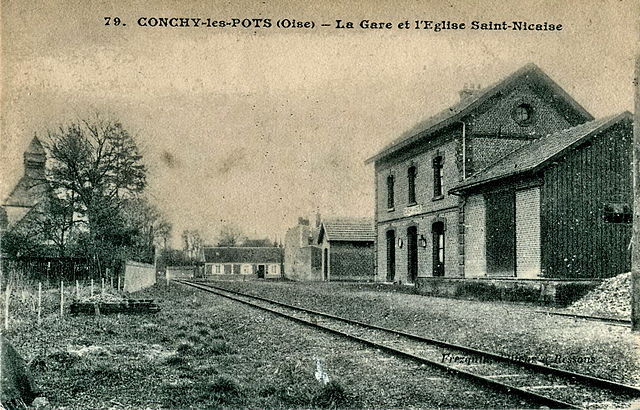

Conchy-les-Pots
- commune in Oise, France
- Country:
- Postal Code: 60490
- Coordinates: 49° 36' 16" N, 2° 43' 41" E
- GPS tracks (wikiloc): [Link]
- Area: 9.67 sq km
- Population: 696


Dancourt-Popincourt
- commune in Somme, France
- Country:
- Postal Code: 80700
- Coordinates: 49° 39' 58" N, 2° 43' 56" E
- GPS tracks (wikiloc): [Link]
- AboveSeaLevel: 90 м m
- Area: 5.9 sq km
- Population: 148