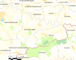
Tresbœuf (Tresbœuf)

- commune in Ille-et-Vilaine, France
- Country:

- Postal Code: 35320
- Coordinates: 47° 52' 57" N, 1° 32' 45" E


- GPS tracks (wikiloc): [Link]
- Area: 25.33 sq km
- Population: 1271
- Web site: http://www.tresboeuf.fr
- Wikipedia en: wiki(en)
- Wikipedia: wiki(fr)
- Wikidata storage: Wikidata: Q950692
- Wikipedia Commons Category: [Link]
- Freebase ID: [/m/03m8nrp]
- Freebase ID: [/m/03m8nrp]
- Freebase ID: [/m/03m8nrp]
- SIREN number: [213503436]
- SIREN number: [213503436]
- SIREN number: [213503436]
- OSM relation ID: [909651]
- OSM relation ID: [909651]
- OSM relation ID: [909651]
- PACTOLS thesaurus ID: [pcrteVDKwrzA2h]
- PACTOLS thesaurus ID: [pcrteVDKwrzA2h]
- PACTOLS thesaurus ID: [pcrteVDKwrzA2h]
- INSEE municipality code: 35343
- INSEE municipality code: 35343
- INSEE municipality code: 35343
Shares border with regions:


La Bosse-de-Bretagne
- commune in Ille-et-Vilaine, France
- Country:
- Postal Code: 35320
- Coordinates: 47° 52' 10" N, 1° 35' 56" E
- GPS tracks (wikiloc): [Link]
- Area: 10.21 sq km
- Population: 647


La Couyère
- commune in Ille-et-Vilaine, France
- Country:
- Postal Code: 35320
- Coordinates: 47° 53' 15" N, 1° 30' 19" E
- GPS tracks (wikiloc): [Link]
- Area: 11.72 sq km
- Population: 512
- Web site: [Link]


Le Sel-de-Bretagne
- commune in Ille-et-Vilaine, France
- Country:
- Postal Code: 35320
- Coordinates: 47° 53' 45" N, 1° 36' 38" E
- GPS tracks (wikiloc): [Link]
- AboveSeaLevel: 75 м m
- Area: 8.1 sq km
- Population: 1091
- Web site: [Link]

Ercé-en-Lamée
- commune in Ille-et-Vilaine, France
- Country:
- Postal Code: 35620
- Coordinates: 47° 49' 49" N, 1° 33' 33" E
- GPS tracks (wikiloc): [Link]
- Area: 39.21 sq km
- Population: 1504
- Web site: [Link]


Lalleu
- commune in Ille-et-Vilaine, France
- Country:
- Postal Code: 35320
- Coordinates: 47° 51' 19" N, 1° 30' 37" E
- GPS tracks (wikiloc): [Link]
- Area: 15.47 sq km
- Population: 587
- Web site: [Link]

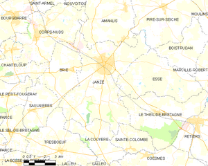
Janzé
- commune in Ille-et-Vilaine, France
- Country:
- Postal Code: 35150
- Coordinates: 47° 57' 38" N, 1° 29' 57" E
- GPS tracks (wikiloc): [Link]
- Area: 41.26 sq km
- Population: 8268


Saulnières
- commune in Ille-et-Vilaine, France
- Country:
- Postal Code: 35320
- Coordinates: 47° 54' 57" N, 1° 35' 15" E
- GPS tracks (wikiloc): [Link]
- Area: 10.34 sq km
- Population: 736
- Web site: [Link]