Ussac (Ussac)

- commune in Corrèze, France
- Country:

- Postal Code: 19270
- Coordinates: 45° 11' 33" N, 1° 30' 33" E


- GPS tracks (wikiloc): [Link]
- Area: 24.63 sq km
- Population: 4115
- Web site: http://www.ussac.fr
- Wikipedia en: wiki(en)
- Wikipedia: wiki(fr)
- Wikidata storage: Wikidata: Q186482
- Wikipedia Commons Category: [Link]
- Freebase ID: [/m/03mg0cn]
- GeoNames ID: Alt: [6613925]
- SIREN number: [211927405]
- BnF ID: [15249909s]
- PACTOLS thesaurus ID: [pcrtqbTJUjGeYg]
- INSEE municipality code: 19274
Shares border with regions:


Donzenac
- commune in Corrèze, France
- Country:
- Postal Code: 19270
- Coordinates: 45° 13' 38" N, 1° 31' 26" E
- GPS tracks (wikiloc): [Link]
- Area: 24.24 sq km
- Population: 2638
- Web site: [Link]


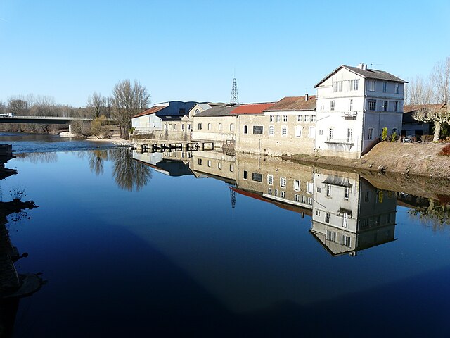
Saint-Viance
- commune in Corrèze, France
- Country:
- Postal Code: 19240
- Coordinates: 45° 13' 3" N, 1° 27' 9" E
- GPS tracks (wikiloc): [Link]
- Area: 16.23 sq km
- Population: 1794
- Web site: [Link]


Varetz
- commune in Corrèze, France
- Country:
- Postal Code: 19240
- Coordinates: 45° 11' 38" N, 1° 27' 2" E
- GPS tracks (wikiloc): [Link]
- Area: 20.38 sq km
- Population: 2390
- Web site: [Link]
Sainte-Féréole
- commune in Corrèze, France
- Country:
- Postal Code: 19270
- Coordinates: 45° 13' 46" N, 1° 34' 57" E
- GPS tracks (wikiloc): [Link]
- Area: 35.58 sq km
- Population: 1846
- Web site: [Link]
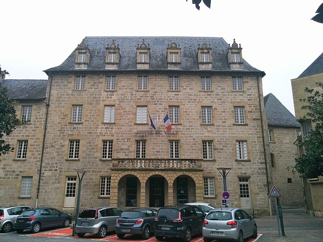

Brive-la-Gaillarde
- commune in Corrèze, France
- Country:
- Postal Code: 19100
- Coordinates: 45° 9' 32" N, 1° 31' 59" E
- GPS tracks (wikiloc): [Link]
- AboveSeaLevel: 142 м m
- Area: 48.59 sq km
- Population: 47349
- Web site: [Link]

Saint-Pantaléon-de-Larche
- commune in Corrèze, France
- Country:
- Postal Code: 19600
- Coordinates: 45° 8' 28" N, 1° 26' 47" E
- GPS tracks (wikiloc): [Link]
- Area: 23.47 sq km
- Population: 4793