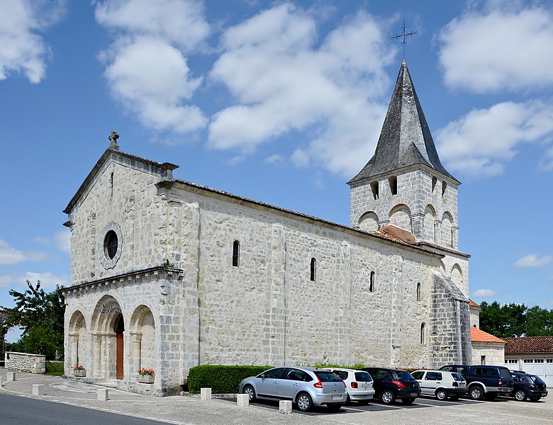
Vendoire (Vendoire)

- commune in Dordogne, France
- Country:

- Postal Code: 24320
- Coordinates: 45° 24' 55" N, 0° 18' 10" E


- GPS tracks (wikiloc): [Link]
- Area: 11.65 sq km
- Population: 141
- Wikipedia en: wiki(en)
- Wikipedia: wiki(fr)
- Wikidata storage: Wikidata: Q1076393
- Wikipedia Commons Category: [Link]
- Freebase ID: [/m/03mg9hv]
- GeoNames ID: Alt: [2970111]
- SIREN number: [212405690]
- BnF ID: [15252210k]
- PACTOLS thesaurus ID: [pcrtLSjxxxBQpp]
- INSEE municipality code: 24569
Shares border with regions:


Vaux-Lavalette
- commune in Charente, France
- Country:
- Postal Code: 16320
- Coordinates: 45° 25' 15" N, 0° 14' 1" E
- GPS tracks (wikiloc): [Link]
- Area: 6.78 sq km
- Population: 98
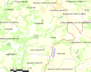
Gurat
- commune in Charente, France
- Country:
- Postal Code: 16320
- Coordinates: 45° 25' 46" N, 0° 16' 11" E
- GPS tracks (wikiloc): [Link]
- Area: 16.03 sq km
- Population: 182


Salles-Lavalette
- commune in Charente, France
- Country:
- Postal Code: 16190
- Coordinates: 45° 23' 0" N, 0° 14' 4" E
- GPS tracks (wikiloc): [Link]
- Area: 20.15 sq km
- Population: 365