Vergheas (Vergheas)

- commune in Puy-de-Dôme, France
- Country:

- Postal Code: 63330
- Coordinates: 46° 1' 48" N, 2° 36' 55" E


- GPS tracks (wikiloc): [Link]
- Area: 7.45 sq km
- Population: 64
- Wikipedia en: wiki(en)
- Wikipedia: wiki(fr)
- Wikidata storage: Wikidata: Q1094732
- Wikipedia Commons Category: [Link]
- Freebase ID: [/m/03ql5k3]
- GeoNames ID: Alt: [6440266]
- SIREN number: [216304477]
- BnF ID: [15269797r]
- INSEE municipality code: 63447
Shares border with regions:


Charensat
- commune in Puy-de-Dôme, France
- Country:
- Postal Code: 63640
- Coordinates: 45° 59' 12" N, 2° 38' 10" E
- GPS tracks (wikiloc): [Link]
- Area: 46.68 sq km
- Population: 507
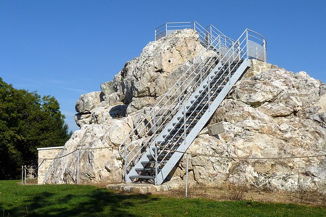
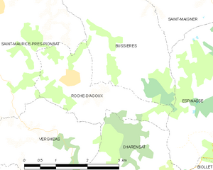
Roche-d'Agoux
- commune in Puy-de-Dôme, France
- Country:
- Postal Code: 63330
- Coordinates: 46° 2' 38" N, 2° 37' 54" E
- GPS tracks (wikiloc): [Link]
- Area: 5.56 sq km
- Population: 103


Charron
- commune in Creuse, France
- Country:
- Postal Code: 23700
- Coordinates: 46° 3' 35" N, 2° 33' 46" E
- GPS tracks (wikiloc): [Link]
- Area: 30.11 sq km
- Population: 224


Saint-Maurice-près-Pionsat
- commune in Puy-de-Dôme, France
- Country:
- Postal Code: 63330
- Coordinates: 46° 3' 56" N, 2° 36' 2" E
- GPS tracks (wikiloc): [Link]
- Area: 30.88 sq km
- Population: 367