
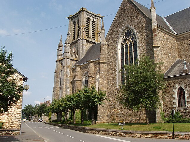
Vitré (Vitré)

- commune in Ille-et-Vilaine, France
- Country:

- Postal Code: 35500
- Coordinates: 48° 7' 24" N, 1° 12' 34" E


- GPS tracks (wikiloc): [Link]
- AboveSeaLevel: 89 м m
- Area: 37.03 sq km
- Population: 17798
- Web site: http://www.mairie-vitre.com
- Wikipedia en: wiki(en)
- Wikipedia: wiki(fr)
- Wikidata storage: Wikidata: Q234704
- Wikipedia Commons Gallery: [Link]
- Wikipedia Commons Category: [Link]
- Freebase ID: [/m/054xq1]
- Freebase ID: [/m/054xq1]
- Freebase ID: [/m/054xq1]
- GeoNames ID: Alt: [6454050]
- GeoNames ID: Alt: [6454050]
- GeoNames ID: Alt: [6454050]
- SIREN number: [213503600]
- SIREN number: [213503600]
- SIREN number: [213503600]
- BnF ID: [152573013]
- BnF ID: [152573013]
- BnF ID: [152573013]
- OSM relation ID: [106682]
- OSM relation ID: [106682]
- OSM relation ID: [106682]
- PACTOLS thesaurus ID: [pcrtxOgvJtfiSw]
- PACTOLS thesaurus ID: [pcrtxOgvJtfiSw]
- PACTOLS thesaurus ID: [pcrtxOgvJtfiSw]
- MusicBrainz area ID: [33582b99-d714-438d-9135-d0a38b793e73]
- MusicBrainz area ID: [33582b99-d714-438d-9135-d0a38b793e73]
- MusicBrainz area ID: [33582b99-d714-438d-9135-d0a38b793e73]
- INSEE municipality code: 35360
- INSEE municipality code: 35360
- INSEE municipality code: 35360
Shares border with regions:


Saint-M'Hervé
- commune in Ille-et-Vilaine, France
- Country:
- Postal Code: 35500
- Coordinates: 48° 10' 43" N, 1° 6' 58" E
- GPS tracks (wikiloc): [Link]
- Area: 29.68 sq km
- Population: 1375
- Web site: [Link]

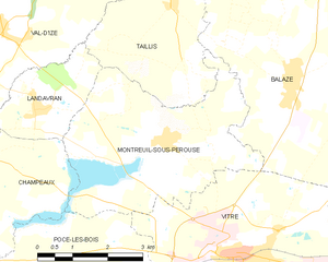
Montreuil-sous-Pérouse
- commune in Ille-et-Vilaine, France
- Country:
- Postal Code: 35500
- Coordinates: 48° 9' 3" N, 1° 14' 12" E
- GPS tracks (wikiloc): [Link]
- AboveSeaLevel: 64 м m
- Area: 15.49 sq km
- Population: 1023
- Web site: [Link]


Étrelles
- commune in Ille-et-Vilaine, France
- Country:
- Postal Code: 35370
- Coordinates: 48° 3' 37" N, 1° 11' 37" E
- GPS tracks (wikiloc): [Link]
- Area: 27.17 sq km
- Population: 2545
- Web site: [Link]


Pocé-les-Bois
- commune in Ille-et-Vilaine, France
- Country:
- Postal Code: 35500
- Coordinates: 48° 6' 57" N, 1° 14' 59" E
- GPS tracks (wikiloc): [Link]
- AboveSeaLevel: 91 м m
- Area: 14.84 sq km
- Population: 1273

Erbrée
- commune in Ille-et-Vilaine, France
- Country:
- Postal Code: 35500
- Coordinates: 48° 5' 56" N, 1° 7' 28" E
- GPS tracks (wikiloc): [Link]
- Area: 35.52 sq km
- Population: 1677
- Web site: [Link]


Balazé
- commune in Ille-et-Vilaine, France
- Country:
- Postal Code: 35500
- Coordinates: 48° 10' 5" N, 1° 11' 30" E
- GPS tracks (wikiloc): [Link]
- Area: 36.66 sq km
- Population: 2270
- Web site: [Link]