Vouzan (Vouzan)

- commune in Charente, France
- Country:

- Postal Code: 16410
- Coordinates: 45° 36' 9" N, 0° 21' 21" E


- GPS tracks (wikiloc): [Link]
- Area: 16.27 sq km
- Population: 764
- Wikipedia en: wiki(en)
- Wikipedia: wiki(fr)
- Wikidata storage: Wikidata: Q1440582
- Wikipedia Commons Category: [Link]
- Freebase ID: [/m/03mcfl3]
- GeoNames ID: Alt: [2967606]
- SIREN number: [211604228]
- BnF ID: [15248859t]
- INSEE municipality code: 16422
Shares border with regions:


Bouëx
- commune in Charente, France
- Country:
- Postal Code: 16410
- Coordinates: 45° 36' 57" N, 0° 19' 6" E
- GPS tracks (wikiloc): [Link]
- Area: 15.64 sq km
- Population: 912


Saint-Germain-de-Montbron
- commune in Charente, France
- Country:
- Postal Code: 16380
- Coordinates: 45° 37' 23" N, 0° 25' 10" E
- GPS tracks (wikiloc): [Link]
- Area: 14.91 sq km
- Population: 505
- Web site: [Link]


Sers
- commune in Charente, France
- Country:
- Postal Code: 16410
- Coordinates: 45° 35' 50" N, 0° 19' 22" E
- GPS tracks (wikiloc): [Link]
- Area: 14.17 sq km
- Population: 857


Chazelles
- commune in Charente, France
- Country:
- Postal Code: 16380
- Coordinates: 45° 38' 51" N, 0° 22' 1" E
- GPS tracks (wikiloc): [Link]
- Area: 25.8 sq km
- Population: 1543
- Web site: [Link]
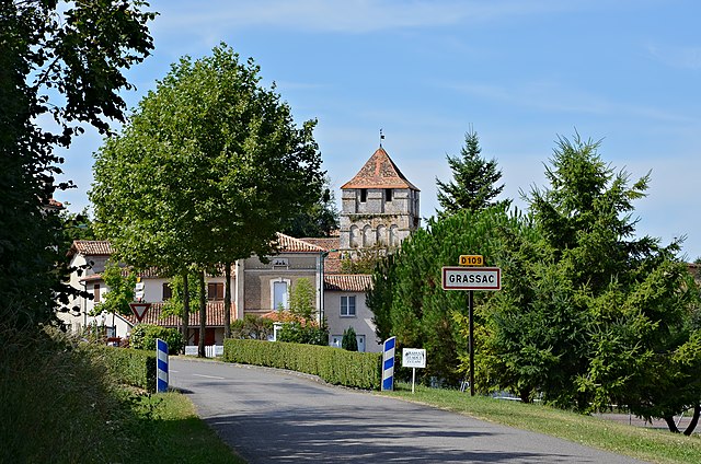

Grassac
- commune in Charente, France
- Country:
- Postal Code: 16380
- Coordinates: 45° 35' 9" N, 0° 24' 10" E
- GPS tracks (wikiloc): [Link]
- Area: 28.23 sq km
- Population: 325