Winnezeele (Winnezeele)

- commune in Nord, France
- Country:

- Postal Code: 59670
- Coordinates: 50° 50' 27" N, 2° 33' 3" E


- GPS tracks (wikiloc): [Link]
- Area: 15.54 sq km
- Population: 1251
- Wikipedia en: wiki(en)
- Wikipedia: wiki(fr)
- Wikidata storage: Wikidata: Q11174
- Wikipedia Commons Category: [Link]
- Freebase ID: [/m/03qflm9]
- Freebase ID: [/m/03qflm9]
- GeoNames ID: Alt: [6438581]
- GeoNames ID: Alt: [6438581]
- SIREN number: [215906629]
- SIREN number: [215906629]
- BnF ID: [152672329]
- BnF ID: [152672329]
- VIAF ID: Alt: [240558225]
- VIAF ID: Alt: [240558225]
- GND ID: Alt: [4752197-1]
- GND ID: Alt: [4752197-1]
- INSEE municipality code: 59662
- INSEE municipality code: 59662
Shares border with regions:

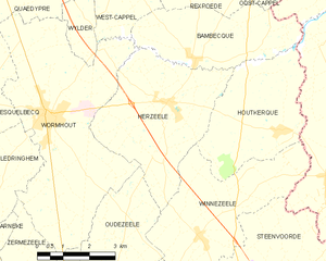
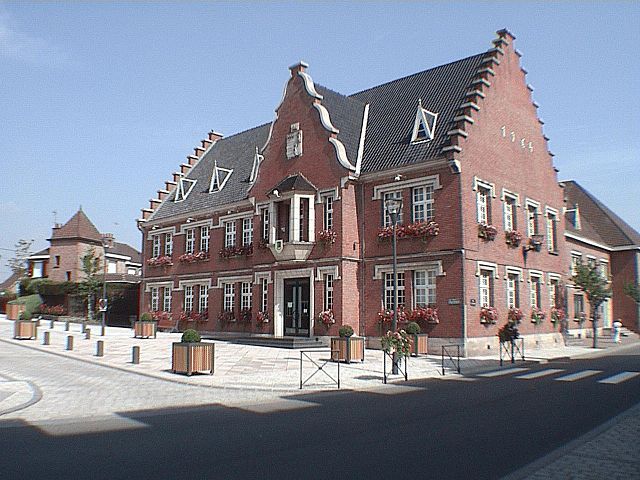
Herzeele
- commune in Nord, France
- Country:
- Postal Code: 59470
- Coordinates: 50° 53' 11" N, 2° 32' 1" E
- GPS tracks (wikiloc): [Link]
- Area: 17.17 sq km
- Population: 1613
- Web site: [Link]


Houtkerque
- commune in Nord, France
- Country:
- Postal Code: 59470
- Coordinates: 50° 52' 38" N, 2° 35' 45" E
- GPS tracks (wikiloc): [Link]
- Area: 13.13 sq km
- Population: 1017
- Web site: [Link]


Oudezeele
- commune in Nord, France
- Country:
- Postal Code: 59670
- Coordinates: 50° 50' 18" N, 2° 30' 38" E
- GPS tracks (wikiloc): [Link]
- Area: 9.36 sq km
- Population: 686
- Web site: [Link]

Steenvoorde
- commune in Nord, France
- Country:
- Postal Code: 59114
- Coordinates: 50° 48' 34" N, 2° 34' 58" E
- GPS tracks (wikiloc): [Link]
- Area: 29.82 sq km
- Population: 4256
- Web site: [Link]