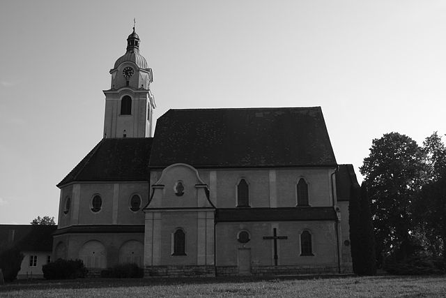
Эберстальцелль (Eberstalzell, Eberstalzell)

 Hiking in Эберстальцелль
Eberstalzell is a charming village located in the Innviertel region of Upper Austria. While it may not be as widely known as some hiking destinations, it offers beautiful landscapes and an array of trails suitable for various levels of hikers. Here are some key points to consider when hiking in Eberstalzell:
Scenic Trails
-
Nature Trails: The area surrounding Eberstalzell features well-marked nature trails that allow hikers to explore the beautiful countryside, fields, and forests. These trails often showcase the region’s diverse flora and fauna.
-
Local Hiking Routes: There are specific local routes that cater to different skill levels, from easy walks to more challenging hikes. They offer varying distances and terrains.
Points of Interest
- Cultural Sites: While hiking, you might come across historical sites and charming local architecture that reflect the rich culture of the area.
- Scenic Views: Many trails will provide stunning panoramic views of the surrounding hills and valleys, especially at higher elevations.
Tips for Hiking in Eberstalzell
- Weather Considerations: Always check the weather conditions before heading out, as they can change rapidly in the region.
- Footwear and Gear: Wear sturdy hiking boots and carry essentials like water, snacks, a map, and a first aid kit.
- Respect Nature: Stay on marked trails, avoid littering, and be mindful of wildlife.
Best Times to Hike
- Spring and Fall: These seasons provide mild temperatures and beautiful foliage, making hiking particularly enjoyable.
- Summer: Early mornings or late afternoons are the best times due to the potential for heat during midday.
Conclusion
Eberstalzell may not be a prominent hiking destination, but its picturesque setting and local trails provide a unique experience for hikers looking to immerse themselves in the natural beauty of Upper Austria. Whether you're a beginner or an experienced hiker, there are options to explore and enjoy the serene landscape. Remember to prepare adequately, respect the environment, and enjoy your adventure!
- Страна:

- Почтовый код: 4653
- Телефонный код: 0 72 41
- Код автомобильного номера: WL
- Координаты: 48° 2' 41" N, 13° 58' 55" E


- GPS треки (wikiloc): [Ссылка]
- Высота над уровнем моря: 400 м m
- Площадь: 27.6 кв.км
- Население: 2627
- Веб сайт: http://www.eberstalzell.at/
- Википедия русская: wiki(ru)
- Википедия английская: wiki(en)
- Википедия национальная: wiki(de)
- Хранилище Wikidata: Wikidata: Q507510
- Катеория в википедии: [Ссылка]
- код Freebase: [/m/03gvgwy]
- код GeoNames: Альт: [7873275]
- код VIAF: Альт: [138069419]
- идентификатор местоположения ArchINFORM: [47269]
- код австрийского муниципалитета: [41805]
Граничит с регионами:

Штайнеркирхен-на-Трауне
Hiking in Штайнеркирхен-на-Трауне
Steinerkirchen an der Traun is a picturesque village located in Upper Austria, surrounded by stunning natural landscapes that are ideal for hiking. Here are some highlights for hiking in the region:...
- Страна:
- Почтовый код: 4652
- Телефонный код: 07241
- Код автомобильного номера: WL
- Координаты: 48° 4' 43" N, 13° 57' 30" E
- GPS треки (wikiloc): [Ссылка]
- Высота над уровнем моря: 381 м m
- Площадь: 33.5 кв.км
- Население: 2371
- Веб сайт: [Ссылка]
Форхдорф
Hiking in Форхдорф
Vorchdorf, located in Austria, is surrounded by beautiful landscapes that offer a variety of hiking opportunities. The area is characterized by its picturesque countryside, forests, and hills, making it ideal for both beginners and experienced hikers....
- Страна:
- Почтовый код: 4655
- Телефонный код: 07614
- Код автомобильного номера: GM
- Координаты: 48° 0' 15" N, 13° 55' 27" E
- GPS треки (wikiloc): [Ссылка]
- Высота над уровнем моря: 414 м m
- Площадь: 47.7 кв.км
- Население: 7475
- Веб сайт: [Ссылка]
Заттледт
Hiking in Заттледт
Sattledt is a picturesque village located in Austria, nestled in the region of Upper Austria. While it may not be as widely known as some other hiking destinations in the Alps, it offers access to beautiful landscapes and outdoor experiences....
- Страна:
- Почтовый код: 4642
- Телефонный код: 07244
- Код автомобильного номера: WL
- Координаты: 48° 4' 24" N, 14° 3' 27" E
- GPS треки (wikiloc): [Ссылка]
- Высота над уровнем моря: 400 м m
- Площадь: 22 кв.км
- Население: 2668
- Веб сайт: [Ссылка]

Петтенбах
Hiking in Петтенбах
Pettenbach, located in the scenic Salzkammergut region of Austria, offers a variety of hiking opportunities suitable for different skill levels. The area is known for its stunning landscapes, including lush forests, rolling hills, and impressive mountain views. Here are some key highlights and tips for hiking in Pettenbach:...
- Страна:
- Почтовый код: 4643
- Телефонный код: 07586
- Код автомобильного номера: KI
- Координаты: 47° 57' 42" N, 14° 1' 0" E
- GPS треки (wikiloc): [Ссылка]
- Высота над уровнем моря: 486 м m
- Площадь: 54.7 кв.км
- Население: 5272
- Веб сайт: [Ссылка]

Рид-им-Траункрайс
- сельская община в Австрии, Верхняя Австрия, Кирхдорф-на-Кремсе
Hiking in Рид-им-Траункрайс
Ried im Traunkreis is a lovely area in Austria that offers various hiking opportunities. Nestled in the picturesque landscape of Upper Austria, it is surrounded by beautiful nature, rolling hills, and the Traun River, making it a great destination for outdoor enthusiasts....
- Страна:
- Почтовый код: 4551
- Телефонный код: 07588
- Код автомобильного номера: KI
- Координаты: 48° 1' 31" N, 14° 4' 24" E
- GPS треки (wikiloc): [Ссылка]
- Высота над уровнем моря: 469 м m
- Площадь: 31.1 кв.км
- Население: 2739
- Веб сайт: [Ссылка]