Ла Мот-Серволе (La Motte-Servolex, La Motte-Servolex)

- коммуна во Франции
 Hiking in Ла Мот-Серволе
La Motte-Servolex is a charming commune located in the Savoie department in the Auvergne-Rhône-Alpes region of southeastern France. Nestled near the foothills of the Chartreuse Mountains and close to the city of Chambéry, it offers a variety of hiking opportunities for all skill levels.
Hiking Trails
-
Around Lake Bourget: One of the most picturesque spots near La Motte-Servolex is Lake Bourget, the largest natural lake in France. There are numerous trails along the shore that provide stunning views of the water and the surrounding mountains.
-
Mont Granier: This mountain offers more challenging hikes with rewarding panoramic views. The trails around Mont Granier will lead you through diverse landscapes, including forests and rocky outcrops.
-
Nature Reserves: The region has various nature reserves, such as the Chêne de Montagnole, where you can hike through protected areas showcasing local flora and fauna.
Tips for Hiking in La Motte-Servolex
-
Trail Information: Always check local maps and guides for the latest trail information. Some trails may have seasonal closures or maintenance.
-
Weather Preparedness: The weather can change rapidly in the mountains, so be prepared with appropriate clothing and gear.
-
Hydration and Snacks: Carry enough water and snacks for your hike, especially if you plan to venture out on longer trails.
-
Respect Nature: Follow Leave No Trace principles to help preserve the natural beauty of the area.
-
Wildlife Awareness: Be aware of local wildlife and maintain a safe distance if you encounter animals.
Nearby Attractions
- After a day of hiking, consider exploring the local culture and cuisine in La Motte-Servolex or nearby Chambéry.
- You can also explore historical sites, such as the Château de Chambéry, which adds a cultural aspect to your outdoor adventures.
La Motte-Servolex and its surrounding areas offer a perfect blend of nature and accessibility, making it an excellent destination for hiking enthusiasts.
- Страна:

- Почтовый код: 73290
- Координаты: 45° 35' 48" N, 5° 52' 39" E


- GPS треки (wikiloc): [Ссылка]
- Площадь: 29.85 кв.км
- Население: 11731
- Веб сайт: http://www.mairie-lamotteservolex.fr
- Википедия русская: wiki(ru)
- Википедия английская: wiki(en)
- Википедия национальная: wiki(fr)
- Хранилище Wikidata: Wikidata: Q912285
- Галерея изображений в википедии: [Ссылка]
- Катеория в википедии: [Ссылка]
- код Freebase: [/m/03npf6r]
- код GeoNames: Альт: [6456414]
- номер SIREN: [217301795]
- код BNF: [15274111j]
- код VIAF: Альт: [132623678]
- код GND: Альт: [4269283-0]
- код LCNAF: Альт: [n92016697]
- код муниципалитета INSEE: 73179
Граничит с регионами:


Marcieux
- коммуна во Франции
Hiking in Marcieux
Marcieux is a charming village located in the Savoie region of France, nestled near the beautiful lakes and mountains of the Rhône-Alpes. While it may not be as well-known as some larger hiking destinations, it offers various trails that cater to different skill levels and provide stunning views of the surrounding landscapes....
- Страна:
- Почтовый код: 73470
- Координаты: 45° 36' 47" N, 5° 45' 45" E
- GPS треки (wikiloc): [Ссылка]
- Площадь: 4.4 кв.км
- Население: 163


Шамбери
- коммуна во Франции
Hiking in Шамбери
Chambéry, located in the Auvergne-Rhône-Alpes region of France, is surrounded by stunning mountains and beautiful landscapes, making it an excellent destination for hiking enthusiasts. Here are some highlights about hiking in the area:...
- Страна:
- Почтовый код: 73000
- Координаты: 45° 33' 59" N, 5° 55' 15" E
- GPS треки (wikiloc): [Ссылка]
- Высота над уровнем моря: 270 м m
- Площадь: 20.99 кв.км
- Население: 59697
- Веб сайт: [Ссылка]


Ле-Бурже-дю-Лак
- коммуна во Франции
Hiking in Ле-Бурже-дю-Лак
Le Bourget-du-Lac is a picturesque commune located in the Savoie department of the Auvergne-Rhône-Alpes region in southeastern France. It is situated on the shores of Lake Bourget, which is the largest natural lake in France. The area is known for its stunning natural landscapes, making it a great destination for hiking enthusiasts. Here are some highlights for hiking in and around Le Bourget-du-Lac:...
- Страна:
- Почтовый код: 73370
- Координаты: 45° 38' 54" N, 5° 51' 35" E
- GPS треки (wikiloc): [Ссылка]
- Площадь: 20.05 кв.км
- Население: 4570
- Веб сайт: [Ссылка]
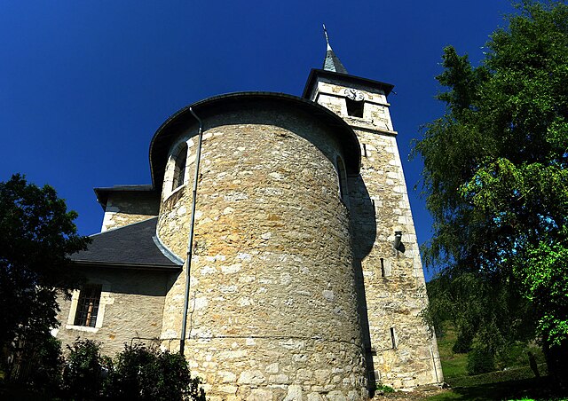

Сен-Сюльпис
- коммуна в департаменте Савойя, Франция
Hiking in Сен-Сюльпис
Saint-Sulpice in Savoie is a charming village located in the French Alps, offering beautiful hiking opportunities in a stunning natural setting. Here are some key points to consider when hiking in this area:...
- Страна:
- Почтовый код: 73160
- Координаты: 45° 34' 4" N, 5° 50' 42" E
- GPS треки (wikiloc): [Ссылка]
- Площадь: 8.82 кв.км
- Население: 777
- Веб сайт: [Ссылка]


Nances
- коммуна во Франции
Hiking in Nances
Nances, often associated with scenic trails and beautiful landscapes, offers a variety of hiking opportunities for outdoor enthusiasts. Here’s a general guide to hiking in the Nances area, which you can adapt based on your specific location or preferences:...
- Страна:
- Почтовый код: 73470
- Координаты: 45° 35' 25" N, 5° 47' 48" E
- GPS треки (wikiloc): [Ссылка]
- Площадь: 9.9 кв.км
- Население: 451
- Веб сайт: [Ссылка]
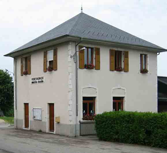

Verthemex
- коммуна во Франции
Hiking in Verthemex
Verthemex is not a widely recognized hiking destination, so it appears there might be a typo or misunderstanding regarding the location you mentioned. If you meant a specific area in a national park or a region known for hiking, please provide more context or clarify the name....
- Страна:
- Почтовый код: 73170
- Координаты: 45° 37' 46" N, 5° 47' 22" E
- GPS треки (wikiloc): [Ссылка]
- Площадь: 9.28 кв.км
- Население: 200

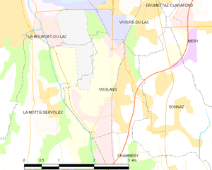
Voglans
- коммуна во Франции
Hiking in Voglans
Voglans, located in the Savoie department in the Auvergne-Rhône-Alpes region of southeastern France, offers beautiful hiking opportunities, mainly due to its proximity to the majestic Bauges Massif and Lake Bourget. The region is characterized by stunning landscapes, diverse flora and fauna, and a mix of terrains suitable for various levels of hikers....
- Страна:
- Почтовый код: 73420
- Координаты: 45° 37' 57" N, 5° 53' 45" E
- GPS треки (wikiloc): [Ссылка]
- Площадь: 4.62 кв.км
- Население: 1852
- Веб сайт: [Ссылка]