Брда (Brda Municipality, Občina Brda)

 Hiking in Брда
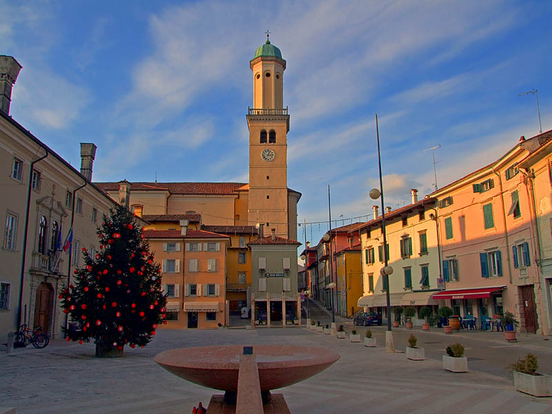
The Municipality of Brda, located in the western part of Slovenia near the border with Italy, is renowned for its beautiful landscapes, vineyards, and gently rolling hills, making it a fantastic destination for hiking enthusiasts.
Hiking Opportunities:
-
Scenic Trails: The area offers a variety of trails that range from easy walks through vineyards to more challenging routes that provide stunning panoramic views of the Soča Valley and the Julian Alps.
-
Wine Routes: Many trails traverse vineyards, allowing hikers to experience the local wine culture firsthand. You can combine hiking with wine tastings at local wineries that often have their own marked routes.
-
Nature Reserves and Parks: The nearby Nature Park of Škocjan Caves and other natural attractions provide opportunities for more adventurous hikes. Trails often lead through varied ecosystems, with diverse flora and fauna.
-
Cultural Features: Hikers can explore charming villages such as Dobrovo, which features a castle and local architecture. Many trails connect these settlements, allowing for cultural as well as natural experiences.
Best Hiking Practices:
-
Preparation: Check trail maps and conditions before heading out. Some trails might require proper hiking gear due to uneven terrain.
-
Respect Local Guidelines: Adhere to local regulations regarding wildlife and nature conservation. Stay on marked paths to minimize impact.
-
Weather Awareness: The weather can change quickly, especially in mountainous areas, so be prepared for various conditions. Carry rain gear and dress in layers.
-
Hydration and Snacks: Always carry enough water and some energy-rich snacks, especially for longer hikes.
-
Safety: Inform someone about your hiking plans, especially if you’re heading into more remote areas, and carry a first aid kit.
Conclusion:
Hiking in the Municipality of Brda is a delightful experience that combines the beauty of nature with the charm of the region's culture and wine heritage. Whether you're looking for a leisurely stroll through vineyards or a more challenging hike in nature, Brda offers a wonderful escape into the outdoors. Enjoy your adventure!
- Страна:

- Почтовый код: 5212
- Код автомобильного номера: GO
- Координаты: 46° 0' 27" N, 13° 32' 36" E


- GPS треки (wikiloc): [Ссылка]
- Высота над уровнем моря: 196 м m
- Площадь: 72.0 кв.км
- Веб сайт: http://www.obcina-brda.si/it/
- Википедия английская: wiki(en)
- Википедия национальная: wiki(sl)
- Хранилище Wikidata: Wikidata: Q763400
- Катеория в википедии: [Ссылка]
- код Freebase: [/m/0bk8j9]
- код GeoNames: Альт: [3239083]
- код VIAF: Альт: [127057500]
- код LCNAF: Альт: [no2008079330]
- место в MusicBrainz: [84ed722a-1318-4311-99fd-7e70a425ee68]
- код NKC: [ge813623]
- ISO 3166-2: SI-007
- FIPS 10-4: SI07
- код CONOR: 286714723
Граничит с регионами:

Кормонс
- коммуна Италии
Hiking in Кормонс
Cormons, located in the Friuli Venezia Giulia region of northeastern Italy, is surrounded by beautiful landscapes, making it an excellent destination for hiking enthusiasts. The area is characterized by rolling hills, vineyards, and stunning views of the Alps and the Adriatic Sea. Here are some highlights for hiking in and around Cormons:...
- Страна:

- Почтовый код: 34071
- Телефонный код: 0481
- Код автомобильного номера: GO
- Координаты: 45° 57' 0" N, 13° 28' 0" E
- GPS треки (wikiloc): [Ссылка]
- Высота над уровнем моря: 56 м m
- Площадь: 35.09 кв.км
- Население: 7347
- Веб сайт: [Ссылка]


Доленья-дель-Коллио
- коммуна Италии
Hiking in Доленья-дель-Коллио
Dolegna del Collio is a charming village located in the Collio region of northeastern Italy, in the Friuli Venezia Giulia region. Known for its stunning vineyards and picturesque landscapes, this area is a hidden gem for hikers. Here’s an overview of what you can expect when hiking in Dolegna del Collio:...
- Страна:
- Почтовый код: 34070
- Телефонный код: 0481
- Код автомобильного номера: GO
- Координаты: 46° 2' 0" N, 13° 29' 0" E
- GPS треки (wikiloc): [Ссылка]
- Высота над уровнем моря: 90 м m
- Площадь: 12.88 кв.км
- Население: 347
- Веб сайт: [Ссылка]
Сан-Флориано-дель-Коллио
- коммуна Италии
Hiking in Сан-Флориано-дель-Коллио
San Floriano del Collio, located in the enchanting region of Friuli Venezia Giulia in northeastern Italy, offers a wonderful backdrop for hiking enthusiasts. Nestled in the rolling hills of the Collio wine region, this area is famed for its picturesque vineyards, charming villages, and stunning landscapes....
- Страна:
- Почтовый код: 34070
- Телефонный код: 0481
- Код автомобильного номера: GO
- Координаты: 45° 59' 0" N, 13° 35' 0" E
- GPS треки (wikiloc): [Ссылка]
- Высота над уровнем моря: 276 м m
- Площадь: 10.63 кв.км
- Население: 775
- Веб сайт: [Ссылка]


Препотто
- коммуна Италии
Hiking in Препотто
Prepotto, located in the northeastern part of Italy, in the region of Friuli Venezia Giulia, is a beautiful destination for hiking enthusiasts. The area is known for its stunning landscapes, rolling hills, vineyards, and a rich cultural heritage....
- Страна:
- Почтовый код: 33040
- Телефонный код: 0432
- Код автомобильного номера: UD
- Координаты: 46° 2' 43" N, 13° 28' 45" E
- GPS треки (wikiloc): [Ссылка]
- Высота над уровнем моря: 105 м m
- Площадь: 33.24 кв.км
- Население: 753
- Веб сайт: [Ссылка]


Гориция
- город и коммуна в Италии
Hiking in Гориция
Gorizia is a charming town located at the intersection of Italy and Slovenia, surrounded by beautiful natural landscapes that are perfect for hiking enthusiasts. The region offers a mix of cultural, historical, and natural attractions that can enhance your outdoor experience. Here are some key points to consider when hiking in and around Gorizia:...
- Страна:
- Почтовый код: 34170
- Телефонный код: 0481
- Код автомобильного номера: GO
- Координаты: 45° 56' 7" N, 13° 37' 9" E
- GPS треки (wikiloc): [Ссылка]
- Высота над уровнем моря: 84 м m
- Площадь: 41 кв.км
- Население: 34411
- Веб сайт: [Ссылка]