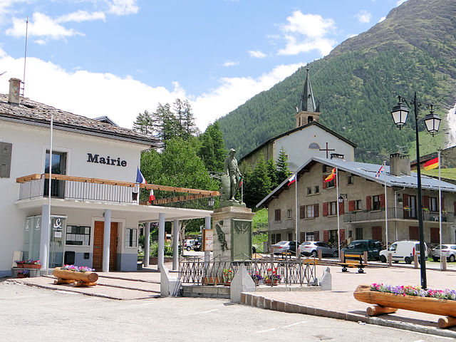
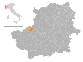
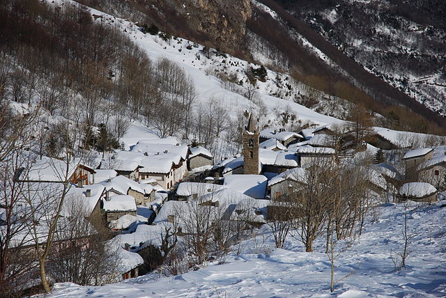
Новалеза (Novalesa, Novalesa)

- коммуна Италии
 Hiking in Новалеза
Novalesa is a picturesque village located in the Susa Valley of the Piedmont region in northern Italy. It is surrounded by the stunning natural beauty of the Alps, making it an excellent spot for hiking enthusiasts. Here’s what you can expect when hiking in and around Novalesa:
Hiking Trails
-
Val di Susa: The valley itself offers numerous trails ranging from easy to challenging. You'll find paths that lead through lush forests, meadows, and alpine terrain, with stunning views of the surrounding mountains.
-
Sentiero del Baron: This trail is known for its scenic views and starts close to Novalesa, providing great opportunities to explore the local flora and fauna.
-
Monte Cenisio: For those looking for a more challenging hike, the trek up to Monte Cenisio offers panoramic views and a rewarding experience at the summit.
-
Historical Trails: There are trails that lead to historical sites, including ancient monasteries and ruins that reflect the region's rich cultural heritage.
Difficulty Levels
The hiking trails vary in difficulty:
- Easy: Suitable for families and beginners, often with well-marked paths and relatively flat terrain.
- Moderate: These trails might involve some elevation gain and are ideal for those with a bit more hiking experience.
- Difficult: For seasoned hikers looking for a challenge, with steep inclines and rocky paths.
Best Time to Hike
The best time for hiking in Novalesa is typically from late spring (May) to early fall (October) when the weather is more stable, and the trails are accessible. Summer offers blooming wildflowers, while fall presents stunning autumn colors.
Preparation
- Gear: Make sure to wear sturdy hiking boots and carry a backpack with water, snacks, a first aid kit, and a map or GPS.
- Weather: The weather in the mountains can change quickly, so it’s advisable to check forecasts and be prepared for different conditions.
- Local Guidelines: Follow local guidelines and respect nature. Many trails are part of protected areas, and maintaining the environment is crucial.
Additional Activities
Aside from hiking, Novalesa is also a great place to engage in other outdoor activities like mountain biking, rock climbing, and even cultural experiences involving local cuisine.
Whether you're an experienced hiker or a beginner looking to explore the beauty of the Italian Alps, Novalesa has something to offer everyone. Enjoy your hike!
- Страна:

- Почтовый код: 10050
- Телефонный код: 0122
- Код автомобильного номера: TO
- Координаты: 45° 11' 0" N, 7° 1' 0" E


- GPS треки (wikiloc): [Ссылка]
- Высота над уровнем моря: 828 м m
- Площадь: 28.55 кв.км
- Население: 542
- Веб сайт: http://www.comune.novalesa.to.it/
- Википедия русская: wiki(ru)
- Википедия английская: wiki(en)
- Википедия национальная: wiki(it)
- Хранилище Wikidata: Wikidata: Q9514
- Катеория в википедии: [Ссылка]
- код Freebase: [/m/0g6xvw]
- код GeoNames: Альт: [6538070]
- код VIAF: Альт: [168746503]
- ID отношения в OpenStreetMap: [44437]
- WOEID: [719399]
- код ISTAT: 001169
- кадастровый код Италии: F948
Граничит с регионами:


Уссельо
- коммуна в Италии
Hiking in Уссельо
Usseglio, located in the Susa Valley in the Piedmont region of Italy, is a beautiful destination for hikers and outdoor enthusiasts. Known for its stunning alpine scenery, Usseglio offers a variety of trails that cater to different skill levels, making it an ideal spot for both beginners and experienced hikers....
- Страна:
- Почтовый код: 10070
- Телефонный код: 0123
- Код автомобильного номера: TO
- Координаты: 45° 14' 0" N, 7° 13' 0" E
- GPS треки (wikiloc): [Ссылка]
- Высота над уровнем моря: 1260 м m
- Площадь: 98.54 кв.км
- Население: 200
- Веб сайт: [Ссылка]


Венаус
- коммуна в Италии
Hiking in Венаус
Venaus is a small village located in the Susa Valley of the Piedmont region in Italy. It is surrounded by the beautiful Alps, making it an excellent destination for hiking enthusiasts. Here are some highlights about hiking in and around Venaus:...
- Страна:
- Почтовый код: 10050
- Телефонный код: 0122
- Код автомобильного номера: TO
- Координаты: 45° 9' 0" N, 7° 1' 0" E
- GPS треки (wikiloc): [Ссылка]
- Высота над уровнем моря: 604 м m
- Площадь: 19.14 кв.км
- Население: 879
- Веб сайт: [Ссылка]

Bessans
- коммуна во Франции
Hiking in Bessans
Bessans is a picturesque village located in the Savoie region of the French Alps, known for its stunning landscapes and outdoor activities, including hiking. Nestled at an altitude of about 1,740 meters, it offers a range of trails suitable for various skill levels, making it a great destination for both experienced hikers and families....
- Страна:

- Почтовый код: 73480
- Координаты: 45° 19' 12" N, 6° 59' 37" E
- GPS треки (wikiloc): [Ссылка]
- Высота над уровнем моря: 1750 м m
- Площадь: 128.08 кв.км
- Население: 338
- Веб сайт: [Ссылка]
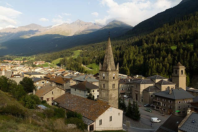

Ланлебур-Мон-Сени
- коммуна во Франции
Hiking in Ланлебур-Мон-Сени
Lanslebourg-Mont-Cenis, located in the Savoie region of France, is a stunning destination for hiking enthusiasts. Nestled in the French Alps, this area offers a variety of trails that cater to different levels of hiking experience, from gentle walks to more challenging climbs....
- Страна:
- Почтовый код: 73480
- Координаты: 45° 17' 9" N, 6° 52' 45" E
- GPS треки (wikiloc): [Ссылка]
- Площадь: 93.61 кв.км
- Население: 649
- Веб сайт: [Ссылка]
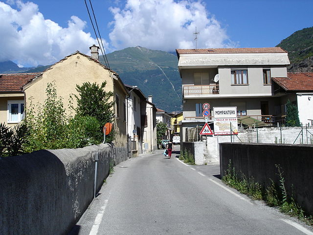
Момпантеро
- коммуна Италии
Hiking in Момпантеро
Mompantero, located in the province of Turin in the Piedmont region of Italy, is a charming destination for hikers looking to explore beautiful landscapes and enjoy outdoor activities. Nestled in the Susa Valley, this area is characterized by its stunning mountainous terrain, rich biodiversity, and picturesque views of the surrounding Alps....
- Страна:
- Почтовый код: 10059
- Телефонный код: 0122
- Код автомобильного номера: TO
- Координаты: 45° 9' 0" N, 7° 4' 0" E
- GPS треки (wikiloc): [Ссылка]
- Высота над уровнем моря: 531 м m
- Площадь: 30.33 кв.км
- Население: 646
- Веб сайт: [Ссылка]

Монченизио
- коммуна Италии
Hiking in Монченизио
Moncenisio, located in the Piedmont region of Italy, is a stunning destination for hiking enthusiasts. Situated near the French border and the impressive backdrop of the Alps, this area offers a mix of scenic trails, diverse landscapes, and rich history....
- Страна:
- Почтовый код: 10050
- Телефонный код: 0122
- Код автомобильного номера: TO
- Координаты: 45° 12' 0" N, 6° 59' 0" E
- GPS треки (wikiloc): [Ссылка]
- Высота над уровнем моря: 1460 м m
- Площадь: 4.5 кв.км
- Население: 29
- Веб сайт: [Ссылка]