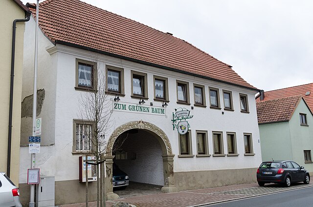
Эрленбах (Oerlenbach, Oerlenbach)

- муниципалитет в Германии, Бавария
 Hiking in Эрленбах
Oerlenbach, located in Bavaria, Germany, offers a range of hiking opportunities that allow enthusiasts to enjoy the beautiful natural landscapes of the region. Here are some highlights to consider for hiking in and around Oerlenbach:
Scenic Trails
-
Local Trails: Oerlenbach has several well-marked walking and hiking trails that wind through picturesque countryside, forests, and fields. These trails can vary in difficulty, making it suitable for both beginners and experienced hikers.
-
Nature Reserves: The nearby natural areas might include regional parks or nature reserves that feature diverse flora and fauna. Exploring these areas can provide excellent opportunities for birdwatching and enjoying tranquility in nature.
Recommended Routes
- Circular Routes: Look for circular hiking routes that start and end in Oerlenbach, allowing you to experience different landscapes without retracing your steps. These often lead to charming villages or notable natural landmarks.
- Long-Distance Trails: If you’re up for a challenge, some longer-distance hikes may connect Oerlenbach to other towns in the region.
Hiking Tips
- Maps and Signage: Always carry a reliable map or download GPS coordinates of the trails. Many paths are well-signposted.
- Pack Essentials: Bring enough water, snacks, a first-aid kit, and weather-appropriate clothing. Always check the weather forecast before setting out.
- Respect Nature: Stick to marked trails to protect the local environment, and practice Leave No Trace principles.
Local Attractions
- After a day of hiking, consider exploring the local culture, which may include traditional Bavarian cuisine in local eateries. In winter, nearby mountain areas might offer additional activities such as snowshoeing.
Community Resources
- Check with local hiking clubs or sporting goods stores in Oerlenbach for maps, guided hikes, and advice from experienced locals.
Whether you’re looking for a leisurely stroll or a more challenging adventure, Oerlenbach and its surroundings can accommodate a variety of hiking preferences. Always make sure to plan according to your skill level and the current trail conditions. Enjoy your hike!
- Страна:

- Почтовый код: 97714
- Телефонный код: 09738; 09725
- Код автомобильного номера: KG
- Координаты: 50° 8' 59" N, 10° 7' 59" E


- GPS треки (wikiloc): [Ссылка]
- Высота над уровнем моря: 304 м m
- Площадь: 33.41 кв.км
- Население: 4660
- Веб сайт: http://www.oerlenbach.de
- Википедия русская: wiki(ru)
- Википедия английская: wiki(en)
- Википедия национальная: wiki(de)
- Хранилище Wikidata: Wikidata: Q339825
- Катеория в википедии: [Ссылка]
- код Freebase: [/m/02q07n0]
- код GeoNames: Альт: [2857075]
- код VIAF: Альт: [239620327]
- ID отношения в OpenStreetMap: [383592]
- код GND: Альт: [4336218-7]
- Bavarikon ID: [ODB_A00009254]
- идентификатор муниципалитетов в Германии: 09672140
Граничит с регионами:

Поппенхаузен
Hiking in Поппенхаузен
Poppenhausen, located in the picturesque Rhön region of Germany, offers a variety of hiking opportunities for both beginners and experienced hikers alike. This charming village is an ideal starting point for exploring the stunning landscapes, diverse ecosystems, and unique geological formations that the Rhön has to offer....
- Страна:
- Почтовый код: 97490
- Телефонный код: 09725
- Код автомобильного номера: SW
- Координаты: 50° 6' 0" N, 10° 9' 0" E
- GPS треки (wikiloc): [Ссылка]
- Высота над уровнем моря: 250 м m
- Площадь: 39.13 кв.км
- Население: 3682
- Веб сайт: [Ссылка]