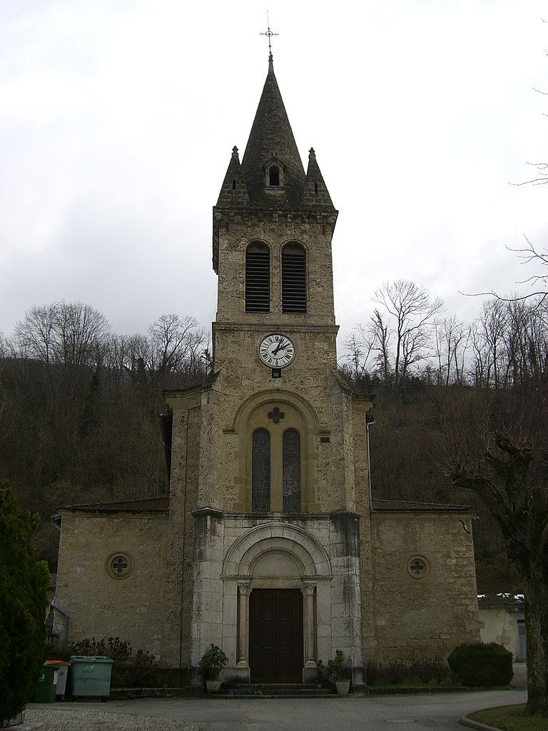
Ранкюрель (Rencurel, Rencurel)

- коммуна во Франции
 Hiking in Ранкюрель
Rencurel is a charming village located in the Vercors region of France, known for its stunning natural landscapes and excellent hiking opportunities. The Vercors is part of the larger Prealps, characterized by its dramatic cliffs, deep gorges, and lush forests, making it an ideal destination for outdoor enthusiasts.
Hiking in Rencurel
-
Scenic Trails: The trails around Rencurel offer a variety of experiences. You can find well-marked paths suitable for all levels, from leisurely walks to more challenging hikes. Many routes provide breathtaking views of the surrounding mountains and valleys.
-
Notable Hikes:
- Gorges de la Bourne: This spectacular gorge offers a stunning hike along the river, with dramatic cliffs and unique geological formations. The trail can be quite popular, but the scenery is well worth it.
- Col de Rousset: A higher elevation hike with panoramic views of the Vercors plateau. From the col, you can take various paths that lead into the heart of the Vercors National Park.
- Hiking to Villard-de-Lans: This trail connects Rencurel to the nearby ski resort town of Villard-de-Lans, showcasing the diverse flora and fauna of the region.
-
Wildlife and Flora: The Vercors region is rich in biodiversity; keep an eye out for a variety of wildlife, including deer, chamois, and numerous bird species. The area is also home to diverse plant life, particularly in spring and summer.
-
Seasonal Hikes: Depending on the season, the hiking experience can vary greatly. In summer, wildflowers bloom, while autumn offers incredible foliage. Winter may provide opportunities for snowshoeing and winter hiking, although certain trails may be inaccessible without specialized gear.
-
Preparation and Safety:
- Gear: Wear appropriate footwear, carry plenty of water, and pack snacks for longer hikes. A map or GPS device can be useful since some trails may not be well marked.
- Weather Awareness: The weather can change rapidly in mountainous regions, so check forecasts and be prepared for varying conditions.
- Local Guidelines: Respect local guidelines and protected areas, especially in the Vercors National Park, to preserve the environment and ensure a safe experience.
Conclusion
Hiking in Rencurel offers an immersive experience with nature, showcasing the rugged beauty of the Vercors. Whether you're a seasoned hiker or a beginner looking for leisure walks, the area has something to offer for everyone. Always remember to prepare adequately and enjoy your adventure in this picturesque region!
- Страна:

- Почтовый код: 38680
- Координаты: 45° 6' 9" N, 5° 28' 22" E


- GPS треки (wikiloc): [Ссылка]
- Площадь: 34.63 кв.км
- Население: 304
- Веб сайт: http://www.rencurel.sud-gresivaudan.org
- Википедия русская: wiki(ru)
- Википедия английская: wiki(en)
- Википедия национальная: wiki(fr)
- Хранилище Wikidata: Wikidata: Q579889
- Катеория в википедии: [Ссылка]
- код Freebase: [/m/03nvj54]
- код GeoNames: Альт: [6433303]
- номер SIREN: [213803331]
- код BNF: [152581442]
- код VIAF: Альт: [244298279]
- код муниципалитета INSEE: 38333
Граничит с регионами:


Сен-Жерве
Hiking in Сен-Жерве
Saint-Gervais is a beautiful commune located in the Isère department of the Auvergne-Rhône-Alpes region in southeastern France. It offers stunning landscapes, diverse trails, and a range of activities for outdoor enthusiasts, making it a fantastic destination for hikers....
- Страна:
- Почтовый код: 38470
- Координаты: 45° 12' 6" N, 5° 28' 55" E
- GPS треки (wikiloc): [Ссылка]
- Площадь: 13.15 кв.км
- Население: 567
- Веб сайт: [Ссылка]


Прель
Hiking in Прель
Presles is a charming village located in the Grand Chartreuse mountain range in the Isère department of the Auvergne-Rhône-Alpes region of France. It's known for its stunning natural beauty, making it a great destination for hiking enthusiasts. Here are some key points about hiking in and around Presles:...
- Страна:
- Почтовый код: 38680
- Координаты: 45° 5' 28" N, 5° 22' 59" E
- GPS треки (wikiloc): [Ссылка]
- Площадь: 25.68 кв.км
- Население: 89


Saint-Julien-en-Vercors
- коммуна во Франции
Hiking in Saint-Julien-en-Vercors
Saint-Julien-en-Vercors is a beautiful destination in the Vercors Massif of the French Alps, known for its stunning scenery, rich biodiversity, and a variety of hiking trails suitable for all levels. Here are some highlights of hiking in this area:...
- Страна:
- Почтовый код: 26420
- Координаты: 45° 3' 1" N, 5° 26' 58" E
- GPS треки (wikiloc): [Ссылка]
- Площадь: 18.47 кв.км
- Население: 246
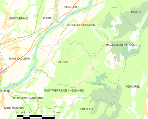
Изрон
- коммуна во Франции
Hiking in Изрон
Izeron is a charming village located in the Isère department of southeastern France, not far from the Vercors National Park. The surrounding area is characterized by its beautiful landscapes, diverse flora and fauna, and a variety of hiking trails that cater to different skill levels....
- Страна:
- Почтовый код: 38160
- Координаты: 45° 8' 48" N, 5° 22' 33" E
- GPS треки (wikiloc): [Ссылка]
- Площадь: 17.19 кв.км
- Население: 701
- Веб сайт: [Ссылка]


Ровон
- коммуна во Франции
Hiking in Ровон
Rovon is not a widely recognized hiking destination, but if you're referring to a specific location, I can provide general advice and tips for hiking in various terrains and regions. If Rovon is a local area or trail, it may have features typical of outdoor hiking locales....
- Страна:
- Почтовый код: 38470
- Координаты: 45° 12' 9" N, 5° 27' 41" E
- GPS треки (wikiloc): [Ссылка]
- Площадь: 11.82 кв.км
- Население: 609
- Веб сайт: [Ссылка]


Маллеваль-ан-Веркор
- коммуна во Франции
Hiking in Маллеваль-ан-Веркор
Malleval-en-Vercors is a picturesque village located in the Isère department of the Auvergne-Rhône-Alpes region in France. Situated in the Vercors massif, it offers stunning natural landscapes, diverse hiking trails, and a rich variety of flora and fauna....
- Страна:
- Почтовый код: 38470
- Координаты: 45° 8' 50" N, 5° 26' 15" E
- GPS треки (wikiloc): [Ссылка]
- Площадь: 14.1 кв.км
- Население: 53
- Веб сайт: [Ссылка]


Виллар-де-Лан
- коммуна во Франции
Hiking in Виллар-де-Лан
Villard-de-Lans is a charming village located in the Vercors region of the French Alps, known for its stunning landscapes, diverse trails, and outdoor activities, making it a fantastic destination for hiking enthusiasts. Here are some key points about hiking in Villard-de-Lans:...
- Страна:
- Почтовый код: 38250
- Координаты: 45° 4' 12" N, 5° 33' 2" E
- GPS треки (wikiloc): [Ссылка]
- Площадь: 67.2 кв.км
- Население: 4175
- Веб сайт: [Ссылка]

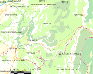
Шоранш
- коммуна во Франции
Hiking in Шоранш
Choranche, located in the Isère department in the Auvergne-Rhône-Alpes region of France, is known for its stunning natural beauty and outdoor activities, including hiking. The area is particularly famous for its impressive gorges, limestone cliffs, and beautiful landscapes....
- Страна:
- Почтовый код: 38680
- Координаты: 45° 4' 1" N, 5° 23' 28" E
- GPS треки (wikiloc): [Ссылка]
- Площадь: 10.63 кв.км
- Население: 124

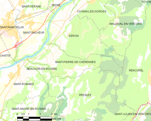
Сен-Пьер-де-Шерен
- коммуна во Франции
Hiking in Сен-Пьер-де-Шерен
Saint-Pierre-de-Chérennes, located in the Isère department of the Auvergne-Rhône-Alpes region in southeastern France, offers a picturesque setting for hiking enthusiasts. The surrounding landscapes are characterized by rolling hills, lush forests, and stunning views of the nearby mountains, making it an ideal location for outdoor activities....
- Страна:
- Почтовый код: 38160
- Координаты: 45° 7' 15" N, 5° 21' 44" E
- GPS треки (wikiloc): [Ссылка]
- Площадь: 12.03 кв.км
- Население: 477
- Веб сайт: [Ссылка]