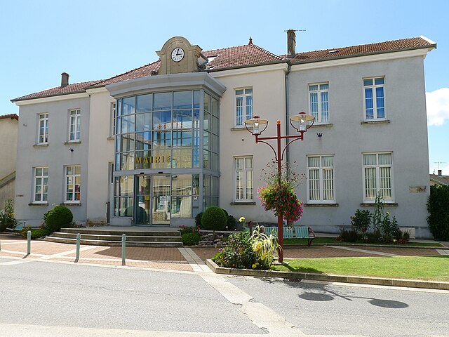
.JPG)
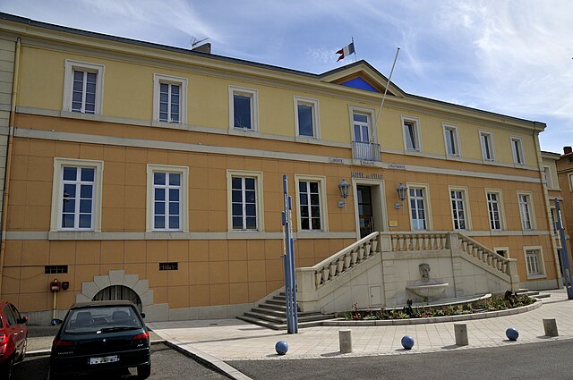
Роман-сюр-Изер (Romans-sur-Isère, Romans-sur-Isère)

- коммуна во Франции
 Hiking in Роман-сюр-Изер
Romans-sur-Isère is a charming town located in the Drôme department in southeastern France. Nestled near the banks of the Isère River, the area offers a variety of hiking opportunities that allow you to explore the natural beauty of the region.
Hiking Opportunities Near Romans-sur-Isère
-
Local Trails: The surrounding countryside has numerous walking paths suitable for all skill levels. You can find marked trails that meander through picturesque landscapes, vineyards, and orchards, perfect for leisurely walks or more vigorous hikes.
-
Vercors Regional Natural Park: A short drive from Romans-sur-Isère, this stunning park offers breathtaking views, diverse wildlife, and an extensive network of hiking trails. Trails range from easy walks to challenging routes, including the famous GR91 route that traverses the Vercors plateau.
-
Drôme Valley: The hikes along the Drôme Valley offer beautiful river views and scenic vistas. This area is also known for its charming villages and cultural heritage, making it an enriching experience to hike and explore.
-
Hiking Clubs and Guides: For those looking for a more guided experience, consider joining local hiking clubs or hiring a guide. They can provide valuable insights into the best trails, safety tips, and the flora and fauna you might encounter.
-
Seasonal Hiking: The best times for hiking in this region are typically spring (April to June) and fall (September to October), when the weather is generally mild and the landscapes are particularly beautiful. The summer months can be hot, while winter hiking can offer a different perspective if you’re equipped for potential snow.
Tips for Hiking in Romans-sur-Isère:
- Preparation: Make sure to wear appropriate hiking shoes, carry sufficient water, and check the weather forecast before heading out.
- Trail Maps: Familiarize yourself with the trail maps and guides available from local tourist information centers. Often, you can find downloadable maps as well.
- Safety: Inform someone of your hiking plans and expected return time, especially if you are hiking alone.
- Respect Nature: Follow local guidelines for preserving the natural environment and wildlife.
Overall, Romans-sur-Isère and its surrounding areas provide an array of hiking options that showcase the scenic beauty and cultural richness of southeastern France, making it a wonderful destination for outdoor enthusiasts.
- Страна:

- Почтовый код: 26100
- Координаты: 45° 2' 44" N, 5° 3' 3" E


- GPS треки (wikiloc): [Ссылка]
- Площадь: 33.08 кв.км
- Население: 33465
- Веб сайт: http://www.ville-romans.com
- Википедия русская: wiki(ru)
- Википедия английская: wiki(en)
- Википедия национальная: wiki(fr)
- Хранилище Wikidata: Wikidata: Q239078
- Галерея изображений в википедии: [Ссылка]
- Катеория в википедии: [Ссылка]
- код Freebase: [/m/04z96y]
- код Freebase: [/m/04z96y]
- номер SIREN: [212602817]
- номер SIREN: [212602817]
- код BNF: [15253141t]
- код BNF: [15253141t]
- код VIAF: Альт: [138001036]
- код VIAF: Альт: [138001036]
- код LCNAF: Альт: [n81022943]
- код LCNAF: Альт: [n81022943]
- код тезауруса PACTOLS: [pcrtWlMmJrEUvm]
- код тезауруса PACTOLS: [pcrtWlMmJrEUvm]
- место в MusicBrainz: [8b326617-463f-4d6b-9048-a4e24e7166de]
- место в MusicBrainz: [8b326617-463f-4d6b-9048-a4e24e7166de]
- код темы Quora: [Romans-sur-Isère]
- код темы Quora: [Romans-sur-Isère]
- код SUDOC: [027982157]
- код SUDOC: [027982157]
- код в энциклопедии «Британника онлайн»: [place/Romans-sur-Isere]
- код в энциклопедии «Британника онлайн»: [place/Romans-sur-Isere]
- код в Большой каталанской энциклопедии: [0056652]
- код в Большой каталанской энциклопедии: [0056652]
- код Цифрового атласа Римской империи: [38488]
- код Цифрового атласа Римской империи: [38488]
- код канала YouTube: [UCY8tNGI-Fu519HUSj1Ap25Q]
- код канала YouTube: [UCY8tNGI-Fu519HUSj1Ap25Q]
- код муниципалитета INSEE: 26281
- код муниципалитета INSEE: 26281
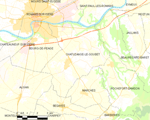
Граничит с регионами:
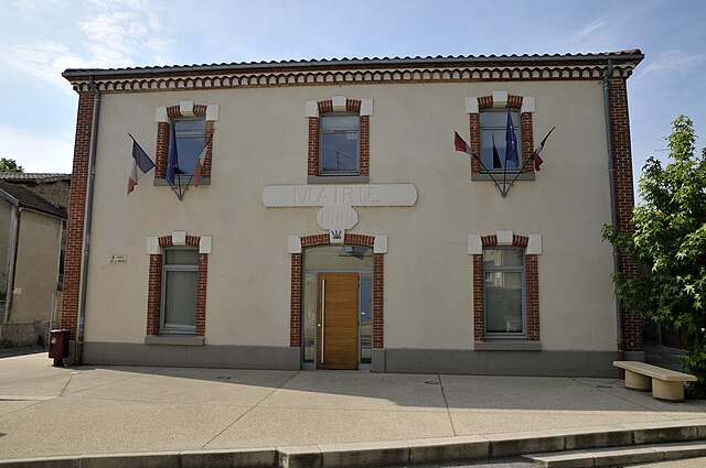
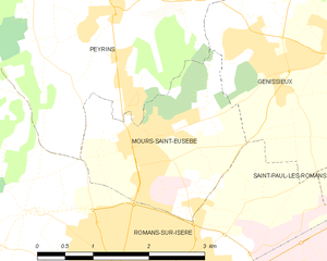
Mours-Saint-Eusèbe
- коммуна во Франции
Hiking in Mours-Saint-Eusèbe
Mours-Saint-Eusèbe, located in the Auvergne-Rhône-Alpes region of France, offers a range of hiking opportunities that cater to different skill levels and preferences. The area is characterized by its beautiful landscapes, including rolling hills, woodlands, and river valleys. Here’s what you can expect when hiking in and around Mours-Saint-Eusèbe:...
- Страна:
- Почтовый код: 26540
- Координаты: 45° 4' 17" N, 5° 3' 5" E
- GPS треки (wikiloc): [Ссылка]
- Площадь: 5.27 кв.км
- Население: 3040


Saint-Bardoux
- коммуна во Франции
Hiking in Saint-Bardoux
Saint-Bardoux, located in the Rhône-Alpes region of France, offers a variety of hiking opportunities for both beginners and experienced hikers. Here are some key points to consider when hiking in this picturesque area:...
- Страна:
- Почтовый код: 26260
- Координаты: 45° 5' 8" N, 4° 58' 22" E
- GPS треки (wikiloc): [Ссылка]
- Площадь: 10.63 кв.км
- Население: 600


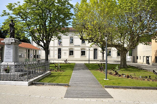
Granges-les-Beaumont
- коммуна во Франции
Hiking in Granges-les-Beaumont
Granges-les-Beaumont is a charming village located in the Auvergne-Rhône-Alpes region of France, known for its picturesque landscapes and outdoor activities, including hiking. Here are some key points to consider if you’re planning a hiking trip in this area:...
- Страна:
- Почтовый код: 26600
- Координаты: 45° 3' 4" N, 4° 58' 59" E
- GPS треки (wikiloc): [Ссылка]
- Высота над уровнем моря: 120 м m
- Площадь: 7.51 кв.км
- Население: 943


Saint-Paul-lès-Romans
- коммуна во Франции
Hiking in Saint-Paul-lès-Romans
Saint-Paul-lès-Romans is a charming commune in the Drôme department of southeastern France, located near the picturesque Rhône-Alpes region. The area offers a variety of hiking opportunities, characterized by its beautiful landscapes, historical sites, and natural features....
- Страна:
- Почтовый код: 26750
- Координаты: 45° 4' 3" N, 5° 7' 58" E
- GPS треки (wikiloc): [Ссылка]
- Площадь: 15.77 кв.км
- Население: 1814
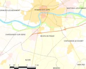
Бур-дё-Пеаж
- коммуна во Франции
Hiking in Бур-дё-Пеаж
Bourg-de-Péage is a charming commune located in the Drôme department of southeastern France, known for its picturesque landscapes and proximity to the Rhône Alps, making it a great base for hiking enthusiasts. Here are some highlights and tips for hiking in and around Bourg-de-Péage:...
- Страна:
- Почтовый код: 26300
- Координаты: 45° 2' 16" N, 5° 3' 0" E
- GPS треки (wikiloc): [Ссылка]
- Высота над уровнем моря: 135 м m
- Площадь: 13.71 кв.км
- Население: 10497
- Веб сайт: [Ссылка]
Chatuzange-le-Goubet
- коммуна во Франции
Hiking in Chatuzange-le-Goubet
Chatuzange-le-Goubet is a charming commune located in the Drôme department of southeastern France, nestled near the picturesque foothills of the Alps. While the area is not as widely recognized for hiking as some of its neighboring regions, it still offers beautiful landscapes and serene trails that can appeal to outdoor enthusiasts....
- Страна:
- Почтовый код: 26300
- Координаты: 45° 0' 24" N, 5° 5' 27" E
- GPS треки (wikiloc): [Ссылка]
- Высота над уровнем моря: 238 м m
- Площадь: 28.24 кв.км
- Население: 5311
- Веб сайт: [Ссылка]


Châteauneuf-sur-Isère
- коммуна во Франции
Hiking in Châteauneuf-sur-Isère
Châteauneuf-sur-Isère is a charming commune located in the Auvergne-Rhône-Alpes region of southeastern France, not far from the town of Valence. The area is characterized by its picturesque landscapes, rolling hills, and proximity to the Drôme River, making it an attractive spot for outdoor activities, including hiking....
- Страна:
- Почтовый код: 26300
- Координаты: 45° 0' 50" N, 4° 56' 5" E
- GPS треки (wikiloc): [Ссылка]
- Высота над уровнем моря: 155 м m
- Площадь: 45.57 кв.км
- Население: 3839
- Веб сайт: [Ссылка]

Пейрен
- коммуна во Франции
Hiking in Пейрен
Peyrins is a charming commune located in the Drôme department in southeastern France, nestled in the foothills of the French Alps. While it may not be as widely known as some of the larger hiking destinations in the region, Peyrins and its surrounding areas offer several scenic walking trails that cater to a range of hiking experiences....
- Страна:
- Почтовый код: 26380
- Координаты: 45° 5' 35" N, 5° 2' 50" E
- GPS треки (wikiloc): [Ссылка]
- Площадь: 25.16 кв.км
- Население: 2708


Génissieux
- коммуна во Франции
Hiking in Génissieux
Génissieux is a charming commune located in the Auvergne-Rhône-Alpes region of southeastern France, near the city of Valence. The area is characterized by its beautiful natural landscapes, rolling hills, and proximity to the Rhône Valley, making it an excellent destination for hiking enthusiasts....
- Страна:
- Почтовый код: 26750
- Координаты: 45° 5' 1" N, 5° 5' 5" E
- GPS треки (wikiloc): [Ссылка]
- Площадь: 8.93 кв.км
- Население: 2084