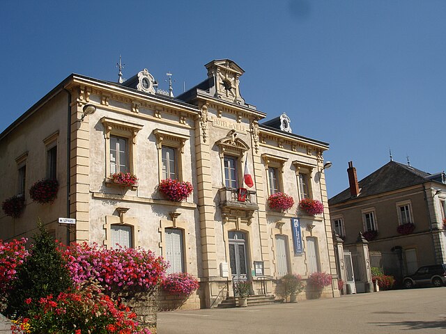
Салавр (Salavre, Salavre)
- коммуна во Франции
 Hiking in Салавр
Salavre, a beautiful and lesser-known destination, offers stunning natural landscapes perfect for hiking enthusiasts. Located in France, it’s known for its diverse flora and fauna, scenic views, and a range of trails suitable for various skill levels. Here are some highlights and tips for hiking in Salavre:
Trail Recommendations:
-
The Salavre Loop: A moderate circular trail that takes you through lush forests and provides fantastic views of the surrounding countryside. It typically spans about 10 km and is well-marked.
-
Waterfall Trail: A shorter hike that leads to a picturesque waterfall. This trail is great for families and those looking for a leisurely walk.
-
Summit Ascent: For more experienced hikers, consider ascending to one of the local summits. The views from the top are rewarding and provide breathtaking panoramas.
Flora and Fauna:
Salavre is home to a variety of wildlife, including many bird species, and the trails often wind through vibrant forestry. Keep an eye out for local flora such as wildflowers in spring and summer. It’s a great place for nature photography!
Best Time to Hike:
The best time for hiking in Salavre is typically spring and early fall when temperatures are mild and the scenery is vibrant. Summer can be warm, and winter may cover the area in snow, making some trails inaccessible.
Tips:
- Check Trail Conditions: Before you head out, make sure to check for any trail closures or conditions.
- Gear Up: Wear appropriate footwear and clothing for the weather. A good pair of hiking boots and weather-resistant layers are essential.
- Stay Hydrated: Carry enough water, especially on longer hikes.
- Leave No Trace: Respect the natural environment by taking all your waste with you.
Local Amenities:
While the area may be less commercialized, nearby towns may offer local accommodations, restaurants, and shops for supplies. It’s a good idea to plan your logistics in advance.
Safety Precautions:
As always, it’s important to let someone know your hiking plans, carry a map or GPS device, and be aware of your surroundings. Make sure to have a basic first aid kit handy.
By exploring the hiking opportunities in Salavre, you can enjoy the tranquility and beauty of nature, making for a memorable outdoor experience. Happy hiking!
- Страна:

- Почтовый код: 01270
- Координаты: 46° 21' 50" N, 5° 20' 46" E


- GPS треки (wikiloc): [Ссылка]
- Площадь: 7.77 кв.км
- Население: 285
- Веб сайт: https://www.salavre.fr
- Википедия русская: wiki(ru)
- Википедия английская: wiki(en)
- Википедия национальная: wiki(fr)
- Хранилище Wikidata: Wikidata: Q772905
- Катеория в википедии: [Ссылка]
- Карты в википедии: [Ссылка]
- код Freebase: [/m/081rmk]
- код Freebase: [/m/081rmk]
- код GeoNames: Альт: [6424694]
- код GeoNames: Альт: [6424694]
- номер SIREN: [210103917]
- номер SIREN: [210103917]
- код муниципалитета INSEE: 01391
- код муниципалитета INSEE: 01391
Граничит с регионами:


Val-d'Épy
- коммуна во Франции
Hiking in Val-d'Épy
Val-d'Épy is a charming commune in the Jura department of France, known for its stunning landscapes and outdoor recreational opportunities. Here are a few highlights and tips for hiking in and around Val-d'Épy:...
- Страна:
- Почтовый код: 39160; 39320
- Координаты: 46° 22' 58" N, 5° 23' 55" E
- GPS треки (wikiloc): [Ссылка]
- Высота над уровнем моря: 370 м m
- Площадь: 8.64 кв.км
- Население: 149
Колиньи
- коммуна во Франции
Hiking in Колиньи
Coligny, located in the Ain department in the Auvergne-Rhône-Alpes region of southeastern France, is a charming village that offers a variety of hiking opportunities. The area surrounding Coligny is characterized by beautiful landscapes, rolling hills, and serene natural settings, making it an excellent destination for hikers of all skill levels....
- Страна:
- Почтовый код: 01270
- Координаты: 46° 22' 59" N, 5° 20' 46" E
- GPS треки (wikiloc): [Ссылка]
- Площадь: 16.87 кв.км
- Население: 1193
- Веб сайт: [Ссылка]


Bourcia
- коммуна во Франции
Hiking in Bourcia
It seems there may be a slight misunderstanding, as there isn't a well-known hiking region specifically named "Bourcia." However, if you meant a specific location with a similar name, such as a region in a particular country or a lesser-known destination, please clarify....
- Страна:
- Почтовый код: 39320
- Координаты: 46° 21' 13" N, 5° 24' 29" E
- GPS треки (wikiloc): [Ссылка]
- Площадь: 11.13 кв.км
- Население: 117
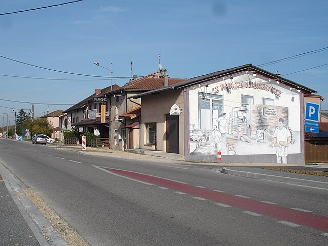
Вильмотье
- коммуна во Франции
Hiking in Вильмотье
Villemotier is a charming little village located in the Ain department in the Auvergne-Rhône-Alpes region of France. While it’s not widely known as a major hiking destination, the surrounding countryside offers some lovely opportunities for outdoor exploration and hiking....
- Страна:
- Почтовый код: 01270
- Координаты: 46° 20' 46" N, 5° 19' 16" E
- GPS треки (wikiloc): [Ссылка]
- Площадь: 13.86 кв.км
- Население: 669
- Веб сайт: [Ссылка]

Вержон
- коммуна во Франции
Hiking in Вержон
Verjon is a small commune located in the Rhône department in the Auvergne-Rhône-Alpes region of France. While it may not be as widely known for hiking as larger national parks or mountainous areas, it does offer some opportunities to enjoy the natural landscape, explore rural trails, and experience the beauty of the region....
- Страна:
- Почтовый код: 01270
- Координаты: 46° 20' 45" N, 5° 21' 4" E
- GPS треки (wikiloc): [Ссылка]
- Площадь: 5.11 кв.км
- Население: 262
- Веб сайт: [Ссылка]
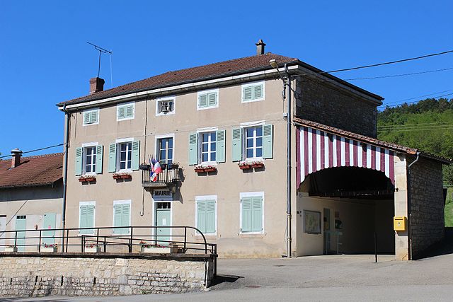
Курмангу
- коммуна во Франции
Hiking in Курмангу
Courmangoux, a charming village located in the Ain department of the Auvergne-Rhône-Alpes region in France, is surrounded by natural beauty and offers a variety of hiking opportunities. Here are some aspects to consider when hiking in and around Courmangoux:...
- Страна:
- Почтовый код: 01370
- Координаты: 46° 19' 52" N, 5° 22' 8" E
- GPS треки (wikiloc): [Ссылка]
- Площадь: 14.82 кв.км
- Население: 504
- Веб сайт: [Ссылка]