Колиньи (Coligny, Coligny)
- коммуна во Франции
 Hiking in Колиньи
Coligny, located in the Ain department in the Auvergne-Rhône-Alpes region of southeastern France, is a charming village that offers a variety of hiking opportunities. The area surrounding Coligny is characterized by beautiful landscapes, rolling hills, and serene natural settings, making it an excellent destination for hikers of all skill levels.
Hiking Trails
-
Local Trails: There are several marked trails around Coligny that lead through forests, fields, and along rivers. These trails often provide stunning views of the countryside and are ideal for both casual walkers and more serious hikers.
-
Regional Parks: The nearby Haut Jura Regional Nature Park offers a network of hiking trails that lead into the Jura mountains. These trails can range from easy walks to more challenging hikes and often include beautiful lakes, waterfalls, and diverse wildlife.
-
Biodiversity: As you hike in this region, you can expect to encounter a rich variety of flora and fauna. Keep an eye out for local wildlife, including birds and small mammals, as well as a diverse array of plant species.
Best Times to Hike
- Spring (April to June): Enjoy moderate temperatures and blooming flowers. This season offers a particularly scenic backdrop for hiking.
- Autumn (September to November): Experience the colorful foliage and cooler temperatures, making it a comfortable time for hiking.
Preparations
- Gear: Make sure you have proper footwear, a good backpack, and enough water and snacks. Depending on the trail, trekking poles can also be helpful.
- Maps: While many trails are marked, carrying a local trail map or using a hiking app can help you navigate more efficiently.
Local Tips
- Weather Check: Always check the weather before heading out, as conditions can change rapidly in mountainous areas.
- Respect Nature: Follow local guidelines regarding wildlife and preserve the natural habitats by sticking to marked trails.
Conclusion
Hiking around Coligny offers an opportunity to immerse yourself in the natural beauty of the Ain region while enjoying a variety of trails suited to different levels of experience. Whether you're looking for a leisurely stroll or a more challenging hike, the area provides a fulfilling outdoor experience.
- Страна:

- Почтовый код: 01270
- Координаты: 46° 22' 59" N, 5° 20' 46" E


- GPS треки (wikiloc): [Ссылка]
- Площадь: 16.87 кв.км
- Население: 1193
- Веб сайт: http://www.mairie-coligny.fr
- Википедия русская: wiki(ru)
- Википедия английская: wiki(en)
- Википедия национальная: wiki(fr)
- Хранилище Wikidata: Wikidata: Q210924
- Катеория в википедии: [Ссылка]
- Карты в википедии: [Ссылка]
- код Freebase: [/m/0814vc]
- код Freebase: [/m/0814vc]
- код GeoNames: Альт: [6612199]
- код GeoNames: Альт: [6612199]
- номер SIREN: [210101085]
- номер SIREN: [210101085]
- код VIAF: Альт: [236816704]
- код VIAF: Альт: [236816704]
- код муниципалитета INSEE: 01108
- код муниципалитета INSEE: 01108
Граничит с регионами:


Saint-Jean-d'Étreux
- коммуна во Франции
Hiking in Saint-Jean-d'Étreux
Saint-Jean-d'Étreux is a small commune located in the Jura department of eastern France, known for its beautiful landscapes and outdoor activities, including hiking. The region is characterized by rolling hills, forests, and diverse flora and fauna, making it a great destination for nature enthusiasts....
- Страна:
- Почтовый код: 39160
- Координаты: 46° 24' 17" N, 5° 21' 30" E
- GPS треки (wikiloc): [Ссылка]
- Площадь: 4.28 кв.км
- Население: 156


Val-d'Épy
- коммуна во Франции
Hiking in Val-d'Épy
Val-d'Épy is a charming commune in the Jura department of France, known for its stunning landscapes and outdoor recreational opportunities. Here are a few highlights and tips for hiking in and around Val-d'Épy:...
- Страна:
- Почтовый код: 39160; 39320
- Координаты: 46° 22' 58" N, 5° 23' 55" E
- GPS треки (wikiloc): [Ссылка]
- Высота над уровнем моря: 370 м m
- Площадь: 8.64 кв.км
- Население: 149


Senaud
- коммуна во Франции
Hiking in Senaud
Senaud is a small commune in the Ain department in the Auvergne-Rhône-Alpes region of France. While it may not be as widely known for hiking as some of the larger national parks or mountainous areas in France, there are definitely opportunities for outdoor activities in the surrounding region....
- Страна:
- Почтовый код: 39160
- Координаты: 46° 23' 49" N, 5° 22' 48" E
- GPS треки (wikiloc): [Ссылка]
- Площадь: 4.06 кв.км
- Население: 51


Chazelles
Hiking in Chazelles
Chazelles is a charming village located in the Jura region of France, known for its stunning landscapes and outdoor activities, making it a great destination for hiking enthusiasts. The Jura mountains offer a variety of trails that cater to different skill levels, from beginners to experienced hikers....
- Страна:
- Почтовый код: 39160
- Координаты: 46° 24' 15" N, 5° 20' 32" E
- GPS треки (wikiloc): [Ссылка]
- Площадь: 4.04 кв.км
- Население: 147

Салавр
- коммуна во Франции
Hiking in Салавр
Salavre, a beautiful and lesser-known destination, offers stunning natural landscapes perfect for hiking enthusiasts. Located in France, it’s known for its diverse flora and fauna, scenic views, and a range of trails suitable for various skill levels. Here are some highlights and tips for hiking in Salavre:...
- Страна:
- Почтовый код: 01270
- Координаты: 46° 21' 50" N, 5° 20' 46" E
- GPS треки (wikiloc): [Ссылка]
- Площадь: 7.77 кв.км
- Население: 285
- Веб сайт: [Ссылка]

Донсюр
- коммуна во Франции
Hiking in Донсюр
Domsure is a lesser-known hiking destination, and it may not be heavily documented in some hiking resources. However, if you're considering exploring this area, here are some general tips and considerations for hiking in a region like Domsure:...
- Страна:
- Почтовый код: 01270
- Координаты: 46° 25' 9" N, 5° 17' 42" E
- GPS треки (wikiloc): [Ссылка]
- Площадь: 15.2 кв.км
- Население: 480
- Веб сайт: [Ссылка]
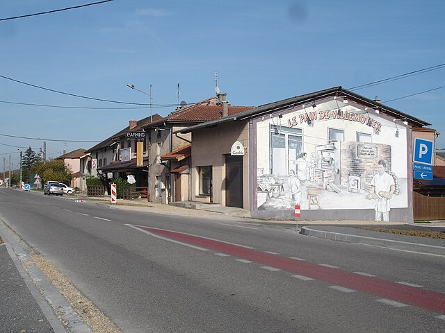
Вильмотье
- коммуна во Франции
Hiking in Вильмотье
Villemotier is a charming little village located in the Ain department in the Auvergne-Rhône-Alpes region of France. While it’s not widely known as a major hiking destination, the surrounding countryside offers some lovely opportunities for outdoor exploration and hiking....
- Страна:
- Почтовый код: 01270
- Координаты: 46° 20' 46" N, 5° 19' 16" E
- GPS треки (wikiloc): [Ссылка]
- Площадь: 13.86 кв.км
- Население: 669
- Веб сайт: [Ссылка]

Пиражу
- коммуна во Франции
Hiking in Пиражу
Pirajoux, a lesser-known destination, is often celebrated for its natural beauty and diverse hiking opportunities. While detailed information might be limited, the general characteristics of hiking in this area can be outlined as follows:...
- Страна:
- Почтовый код: 01270
- Координаты: 46° 22' 17" N, 5° 17' 57" E
- GPS треки (wikiloc): [Ссылка]
- Площадь: 12.99 кв.км
- Население: 393
- Веб сайт: [Ссылка]