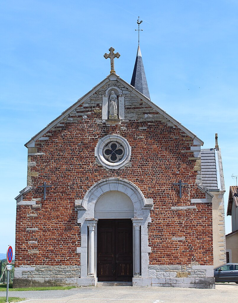
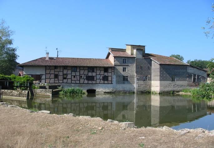
Étrez (Étrez)
- commune in Ain, France
- Country:

- Postal Code: 01340
- Coordinates: 46° 20' 3" N, 5° 11' 5" E


- GPS tracks (wikiloc): [Link]
- Area: 12.15 sq km
- Population: 820
- Web site: http://www.etrez.fr
- Wikipedia en: wiki(en)
- Wikipedia: wiki(fr)
- Wikidata storage: Wikidata: Q838688
- Wikipedia Commons Category: [Link]
- Wikipedia Commons Maps Category: [Link]
- Freebase ID: [/m/0815c4]
- Freebase ID: [/m/0815c4]
- GeoNames ID: Alt: [6424522]
- GeoNames ID: Alt: [6424522]
- SIREN number: [210101549]
- SIREN number: [210101549]
- INSEE municipality code: 01154
- INSEE municipality code: 01154
Shares border with regions:

Marboz
- commune in Ain, France
- Country:
- Postal Code: 01851
- Coordinates: 46° 20' 33" N, 5° 15' 30" E
- GPS tracks (wikiloc): [Link]
- Area: 40.14 sq km
- Population: 2215
- Web site: [Link]
Malafretaz
- commune in Ain, France
- Country:
- Postal Code: 01340
- Coordinates: 46° 19' 27" N, 5° 8' 48" E
- GPS tracks (wikiloc): [Link]
- Area: 9.19 sq km
- Population: 1169
- Web site: [Link]
Foissiat
- commune in Ain, France
- Country:
- Postal Code: 01340
- Coordinates: 46° 22' 13" N, 5° 10' 29" E
- GPS tracks (wikiloc): [Link]
- Area: 40.36 sq km
- Population: 2052
- Web site: [Link]

Cras-sur-Reyssouze
- commune in Ain, France
- Country:
- Postal Code: 01340
- Coordinates: 46° 18' 30" N, 5° 9' 56" E
- GPS tracks (wikiloc): [Link]
- Area: 13.83 sq km
- Population: 1431
- Web site: [Link]