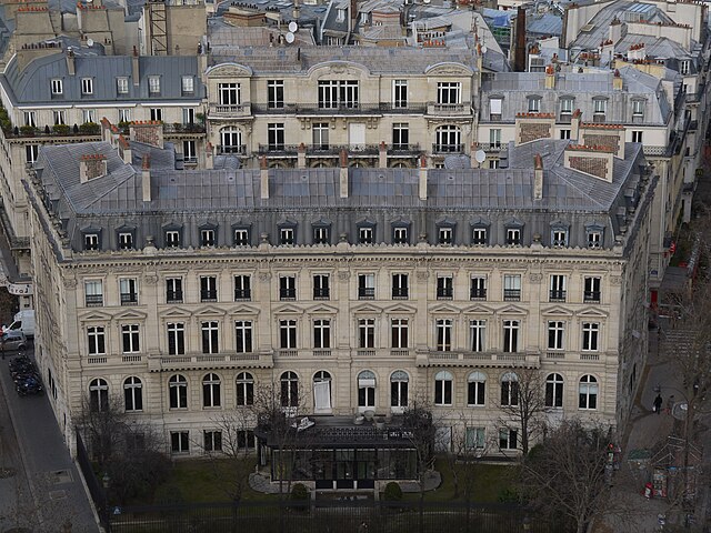
16th arrondissement of Paris (16e arrondissement de Paris)
- one of the 20 administrative districts of Paris, France
- Country:

- Postal Code: 75116; 75016
- Coordinates: 48° 51' 49" N, 2° 16' 35" E


- GPS tracks (wikiloc): [Link]
- Area: 7.91 sq km
- Population: 171880
- Web site: http://www.mairie16.paris.fr/mairie16/
- Wikipedia en: wiki(en)
- Wikipedia: wiki(fr)
- Wikidata storage: Wikidata: Q194420
- Wikipedia Commons Category: [Link]
- Wikipedia Commons Maps Category: [Link]
- Freebase ID: [/m/01ljff]
- GeoNames ID: Alt: [2988394]
- BnF ID: [11957255d]
- VIAF ID: Alt: [132107304]
- GND ID: Alt: [4452889-9]
- archINFORM location ID: [3738]
- Twitter username: Alt: [mairiedu16]
- ISNI: Alt: [0000 0000 9046 6701]
- INSEE municipality code: 75116
Shares border with regions:


15th arrondissement of Paris
- one of the 20 administrative districts of Paris, France
- Country:

- Postal Code: 75015
- Coordinates: 48° 50' 29" N, 2° 18' 1" E


- GPS tracks (wikiloc): [Link]
- Area: 8.50 sq km
- Population: 238914
- Web site: [Link]


17th arrondissement of Paris
- one of the 20 administrative districts of Paris, France
- Country:

- Postal Code: 75017
- Coordinates: 48° 52' 56" N, 2° 18' 28" E


- GPS tracks (wikiloc): [Link]
- Area: 5.67 sq km
- Population: 170218
- Web site: [Link]


7th arrondissement of Paris
- district of Paris, France
- Country:

- Postal Code: 75007
- Coordinates: 48° 51' 33" N, 2° 18' 46" E


- GPS tracks (wikiloc): [Link]
- Area: 4.09 sq km
- Population: 58309
- Web site: [Link]


8th arrondissement of Paris
- administrative district of Paris
- Country:

- Postal Code: 75008
- Coordinates: 48° 52' 27" N, 2° 18' 40" E


- GPS tracks (wikiloc): [Link]
- Area: 3.88 sq km
- Population: 40849
- Web site: [Link]
