
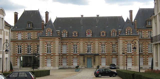
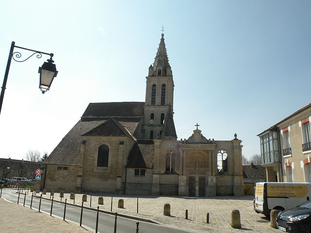
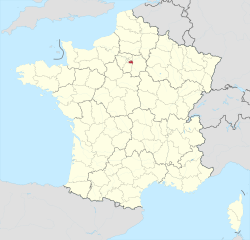
Île-de-France (Île-de-France)

- region in France where the French capital Paris is located
- Country:

- Capital: Paris
- Local Dialing Code: 01
- Coordinates: 48° 51' 8" N, 2° 19' 3" E


- GPS tracks (wikiloc): [Link]
- Area: 12012 sq km
- Population: 12082144
- Web site: http://www.iledefrance.fr/
- Wikipedia en: wiki(en)
- Wikipedia: wiki(fr)
- Wikidata storage: Wikidata: Q13917
- Wikipedia Commons Gallery: [Link]
- Wikipedia Commons Category: [Link]
- Wikipedia Commons Maps Category: [Link]
- Freebase ID: [/m/05qq6m]
- GeoNames ID: Alt: [3012874]
- SIREN number: [237500079]
- BnF ID: [152403314]
- VIAF ID: Alt: [137807822]
- OSM relation ID: [8649]
- GND ID: Alt: [4026538-9]
- archINFORM location ID: [4985]
- Library of Congress authority ID: Alt: [n81043400]
- MusicBrainz area ID: [d79e4501-8cba-431b-96e7-bb9976f0ae76]
- TGN ID: [7002883]
- Encyclopædia Britannica Online ID: [place/Ile-de-France-region-France]
- Gran Enciclopèdia Catalana ID: [0033470]
- Encyclopædia Universalis ID: [ile-de-france-region-administrative]
- Twitter username: Alt: [iledefrance]
- Great Russian Encyclopedia Online ID: [2005193]
- ISNI: Alt: [0000 0001 2111 1314]
- DMOZ ID: Alt: [Regional/Europe/France/Regions/Île-de-France/]
- data.gouv.fr org ID: [region-ile-de-france]
- YouTube channel ID: [UCzrjIzE1Hp3UkXAYEawK3JA]
- NUTS code: [FR10]
- INSEE region code: [11]
- Comic Vine ID: [4020-62033]
- ISO 3166-2 code: FR-IDF
- FIPS 10-4 (countries and regions): FRA8
- GACS ID: 26005
Includes regions:


Hauts-de-Seine
- French department
- Country:
- Capital: Nanterre
- Coordinates: 48° 50' 0" N, 2° 12' 0" E
- GPS tracks (wikiloc): [Link]
- Area: 176 sq km
- Population: 1601569
- Web site: [Link]

Seine-et-Marne
- French department
- Country:
- Capital: Melun
- Coordinates: 48° 36' 0" N, 3° 0' 0" E
- GPS tracks (wikiloc): [Link]
- Area: 5915 sq km
- Population: 1390121
- Web site: [Link]


Seine-Saint-Denis
- département of France in the Greater Paris area
- Country:
- Capital: Bobigny
- Coordinates: 48° 54' 0" N, 2° 29' 0" E
- GPS tracks (wikiloc): [Link]
- Area: 236 sq km
- Population: 1592663
- Web site: [Link]

Val-d’Oise
- French department
- Country:
- Capital: Cergy
- Coordinates: 49° 3' 43" N, 2° 5' 10" E
- GPS tracks (wikiloc): [Link]
- Area: 1246 sq km
- Population: 1215390
- Web site: [Link]

Val-de-Marne
- French department
- Country:
- Capital: Créteil
- Coordinates: 48° 45' 0" N, 2° 25' 0" E
- GPS tracks (wikiloc): [Link]
- Area: 245 sq km
- Population: 1372389
- Web site: [Link]


Yvelines
- French department
- Country:
- Capital: Versailles
- Coordinates: 48° 50' 0" N, 1° 55' 0" E
- GPS tracks (wikiloc): [Link]
- Area: 2284 sq km
- Population: 1427291
- Web site: [Link]
Essonne
- French department
- Country:
- Capital: Évry
- Coordinates: 48° 30' 0" N, 2° 17' 0" E
- GPS tracks (wikiloc): [Link]
- Area: 1804 sq km
- Population: 1276233
- Web site: [Link]

Paris
- capital and largest city of France
- Country:
- Postal Code: 75020; 75019; 75018; 75017; 75016; 75015; 75014; 75013; 75012; 75011; 75010; 75009; 75008; 75007; 75006; 75005; 75004; 75003; 75002; 75001; 75116
- Local Dialing Code: 1
- Licence Plate Code: 75
- Coordinates: 48° 51' 24" N, 2° 21' 7" E
- GPS tracks (wikiloc): [Link]
- AboveSeaLevel: 28 м m
- Area: 105.4 sq km
- Population: 2206488
- Web site: [Link]
Shares border with regions:


Centre-Val de Loire
- region in France
- Country:
- Capital: Orléans
- Coordinates: 47° 30' 0" N, 1° 45' 0" E
- GPS tracks (wikiloc): [Link]
- Area: 39151 sq km
- Population: 2578592
- Web site: [Link]
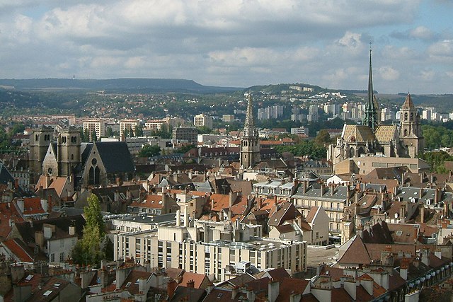
Bourgogne-Franche-Comté
- region of France
 Hiking in Bourgogne-Franche-Comté
Bourgogne-Franche-Comté, located in east-central France, is a region rich in natural beauty, history, and diverse landscapes, making it an excellent destination for hiking enthusiasts. Here are some highlights to consider when planning your hiking adventures in the area:...
- Country:
- Capital: Dijon
- Coordinates: 47° 14' 4" N, 6° 1' 50" E
- GPS tracks (wikiloc): [Link]
- Area: 47784 sq km
- Population: 2820940
- Web site: [Link]


Hauts-de-France
- administrative region of France
- Country:
- Capital: Lille
- Coordinates: 49° 55' 14" N, 2° 42' 11" E
- GPS tracks (wikiloc): [Link]
- Area: 31813 sq km
- Population: 6009976
- Web site: [Link]


Normandy
- administrative region of France
- Country:
- Capital: Rouen
- Coordinates: 49° 11' 11" N, 0° 21' 10" E
- GPS tracks (wikiloc): [Link]
- Area: 29906 sq km
- Population: 3339131
- Web site: [Link]
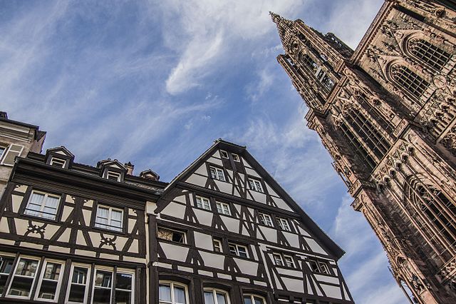

Grand Est
- administrative region of France
Hiking in Grand Est
Grand Est, a beautiful region in northeastern France, offers a diverse array of hiking opportunities. The region is characterized by a mix of picturesque landscapes, including rolling hills, vineyards, dense forests, and the stunning Vosges Mountains. Here are some key points about hiking in Grand Est:...
- Country:
- Capital: Strasbourg
- Coordinates: 48° 35' 56" N, 7° 45' 36" E
- GPS tracks (wikiloc): [Link]
- Area: 57433 sq km
- Population: 5555186
- Web site: [Link]