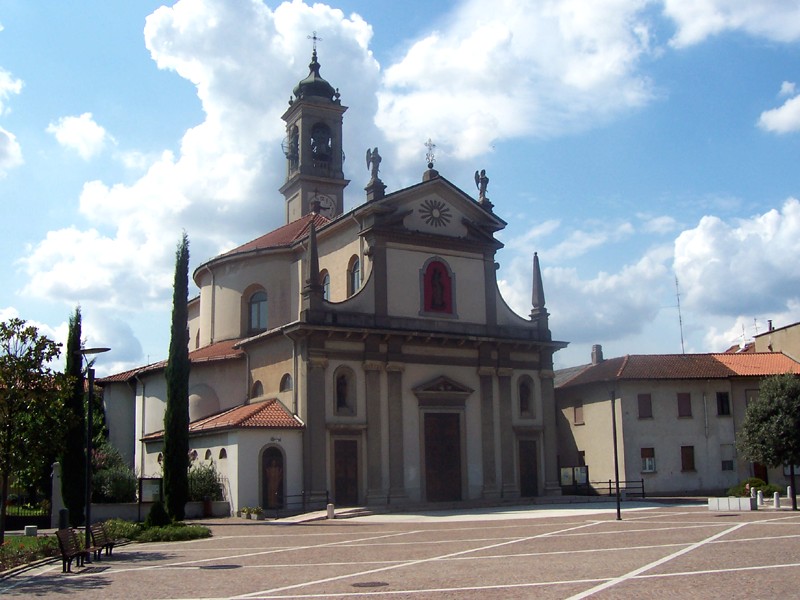
Agrate Brianza (Agrate Brianza)
.svg)
- Italian comune
 Hiking in Agrate Brianza
Agrate Brianza, located in the Monza and Brianza province of Italy, is not primarily known for its hiking trails, as it is more of an urban area. However, it is well-positioned near several natural parks and recreational areas that offer great opportunities for hiking and outdoor activities.
Nearby Hiking Areas:
-
Parco Regionale della Grigna Settentrionale: This regional park is located not too far from Agrate Brianza and features a variety of hiking trails that cater to different skill levels. The park showcases beautiful mountain scenery, diverse flora, and fauna.
-
Parco della Valle del Lambro: This park, extending along the Lambro River, offers scenic hiking routes through woodland and along riverbanks. It's a peaceful place to enjoy nature, and the trails are generally suitable for families and beginners.
-
Monza Park (Parco di Monza): Just a short drive away, Monza Park provides extensive greenery and walking paths within its large grounds. While more popular for leisurely strolls, there are plenty of opportunities for light hiking.
-
Bergamo Hills: For more adventurous hikes, the hills of nearby Bergamo offer stunning views and diverse trails. You can reach the area easily, and you'll find routes that range from leisurely walks to more challenging climbs.
Tips for Hiking in and Around Agrate Brianza:
- Check Weather Conditions: Always check the weather forecast before heading out, as conditions can change rapidly, especially in mountainous areas.
- Dress in Layers: Weather can vary significantly, especially in mountainous regions, so wear layers that can be easily added or removed.
- Comfortable Footwear: Sturdy hiking boots or shoes are recommended to provide support and grip on various terrains.
- Bring Water and Snacks: Hydration is crucial, especially in warmer weather, and carrying light snacks will provide you with energy on longer hikes.
- Know Your Trails: Familiarize yourself with the trail maps and marked paths. It's a good idea to have a guide or a map app on your phone.
- Respect Nature: Follow Leave No Trace principles to keep the trails clean and preserve the natural beauty for others.
While Agrate Brianza itself may not offer extensive hiking options, its proximity to natural parks and hills makes it a good base for those looking to explore the Italian countryside. Whether you are seeking a leisurely walk or a more challenging hike, you'll find suitable trails in the surrounding area.
- Country:

- Postal Code: 20864
- Local Dialing Code: 039
- Licence Plate Code: MB
- Coordinates: 45° 34' 42" N, 9° 21' 8" E


- GPS tracks (wikiloc): [Link]
- AboveSeaLevel: 158 м m
- Area: 11.22 sq km
- Population: 15463
- Web site: http://www.comune.agratebrianza.mb.it/
- Wikipedia en: wiki(en)
- Wikipedia: wiki(it)
- Wikidata storage: Wikidata: Q40539
- Wikipedia Commons Gallery: [Link]
- Wikipedia Commons Category: [Link]
- Freebase ID: [/m/0gj47p]
- GeoNames ID: Alt: [6540168]
- VIAF ID: Alt: [138839147]
- OSM relation ID: [45340]
- archINFORM location ID: [7123]
- MusicBrainz area ID: [74b1eb92-4347-4739-bfa2-8b623d3624a3]
- UN/LOCODE: [ITAGB]
- Gran Enciclopèdia Catalana ID: [0263525]
- ISTAT ID: 108001
- Italian cadastre code: A087
Shares border with regions:


Vimercate
- Italian comune
Hiking in Vimercate
Vimercate, located in the Lombardy region of Italy, offers several opportunities for hiking enthusiasts, especially because of its picturesque landscapes and proximity to the scenic Brianza area. Here’s an overview of what you can expect while hiking in and around Vimercate:...
- Country:
- Postal Code: 20871
- Local Dialing Code: 039
- Licence Plate Code: MB
- Coordinates: 45° 37' 0" N, 9° 22' 0" E
- GPS tracks (wikiloc): [Link]
- AboveSeaLevel: 194 м m
- Area: 20.72 sq km
- Population: 26062
- Web site: [Link]


Cavenago di Brianza
- Italian comune
Hiking in Cavenago di Brianza
Cavenago di Brianza, located in the Lombardy region of Italy, is surrounded by beautiful landscapes ideal for hiking enthusiasts. The area features a mix of gentle hills, wooded areas, and scenic countryside, making it suitable for various hiking experiences....
- Country:
- Postal Code: 20873
- Local Dialing Code: 02
- Licence Plate Code: MB
- Coordinates: 45° 35' 5" N, 9° 24' 57" E
- GPS tracks (wikiloc): [Link]
- AboveSeaLevel: 176 м m
- Area: 4.39 sq km
- Population: 7323
- Web site: [Link]


Concorezzo
- Italian comune
Hiking in Concorezzo
Concorezzo is a charming town located in the Lombardy region of Italy, specifically in the province of Monza and Brianza. While it may not be primarily known as a hiking destination, it is surrounded by beautiful countryside and offers various walking paths and trails that can be enjoyable for outdoor enthusiasts....
- Country:
- Postal Code: 20863
- Local Dialing Code: 039
- Licence Plate Code: MB
- Coordinates: 45° 35' 19" N, 9° 20' 2" E
- GPS tracks (wikiloc): [Link]
- AboveSeaLevel: 171 м m
- Area: 8.51 sq km
- Population: 15608
- Web site: [Link]


Burago di Molgora
- Italian comune
Hiking in Burago di Molgora
Burago di Molgora is a small town located in the Lombardy region of northern Italy, near Milan. While it might not be as famous for hiking as other areas in Italy, it does have some lovely trails and outdoor opportunities for those looking to explore the natural beauty of the region....
- Country:
- Postal Code: 20875
- Local Dialing Code: 039
- Licence Plate Code: MB
- Coordinates: 45° 36' 0" N, 9° 23' 0" E
- GPS tracks (wikiloc): [Link]
- AboveSeaLevel: 182 м m
- Area: 3.43 sq km
- Population: 4284
- Web site: [Link]


Brugherio
- Italian comune
Hiking in Brugherio
Brugherio is a town in the Lombardy region of Italy, situated not far from Milan. While it may not be widely known as a hiking destination compared to the Italian Alps or other natural parks, there are still opportunities for enjoyable outdoor experiences in and around Brugherio....
- Country:
- Postal Code: 20861
- Local Dialing Code: 039
- Licence Plate Code: MB
- Coordinates: 45° 33' 3" N, 9° 18' 4" E
- GPS tracks (wikiloc): [Link]
- AboveSeaLevel: 123 м m
- Area: 10.41 sq km
- Population: 34516
- Web site: [Link]

Caponago
- Italian comune
Hiking in Caponago
Caponago, located in the Lombardy region of Italy, is not as widely known for hiking as some of its neighboring areas, but there are still beautiful opportunities for outdoor activities and exploration in the surrounding regions. Here are some details regarding hiking in and around Caponago:...
- Country:
- Postal Code: 20867
- Local Dialing Code: 02
- Licence Plate Code: MB
- Coordinates: 45° 34' 0" N, 9° 23' 0" E
- GPS tracks (wikiloc): [Link]
- AboveSeaLevel: 158 м m
- Area: 5.04 sq km
- Population: 5211
- Web site: [Link]
Carugate
- Italian comune
Hiking in Carugate
Carugate is a town in the Lombardy region of Italy, typically known for its urban landscape rather than extensive hiking opportunities. However, there are some nearby areas that can provide some wonderful hiking experiences....
- Country:
- Postal Code: 20061
- Local Dialing Code: 02
- Licence Plate Code: MI
- Coordinates: 45° 33' 0" N, 9° 20' 0" E
- GPS tracks (wikiloc): [Link]
- AboveSeaLevel: 149 м m
- Area: 5.39 sq km
- Population: 15267
- Web site: [Link]


Cambiago
- Italian comune
Hiking in Cambiago
Cambiago is a small town located in the Lombardy region of Italy, not far from the bustling city of Milan. While it may not be widely known for extensive hiking trails, its proximity to the greater Lombardy area offers access to various scenic routes and natural landscapes. Here’s what you should know about hiking around Cambiago and nearby areas:...
- Country:
- Postal Code: 20040
- Local Dialing Code: 02
- Licence Plate Code: MI
- Coordinates: 45° 34' 0" N, 9° 25' 0" E
- GPS tracks (wikiloc): [Link]
- Area: 7.18 sq km
- Population: 6906
- Web site: [Link]


Monza
- Italian comune
Hiking in Monza
Monza, located in the Lombardy region of Italy, is not only famous for its historical sites and the Monza Formula 1 racetrack but also offers beautiful opportunities for hiking and outdoor activities. Here’s an overview of what you can expect when hiking in and around Monza:...
- Country:
- Postal Code: 20900
- Local Dialing Code: 039
- Licence Plate Code: MB
- Coordinates: 45° 35' 5" N, 9° 16' 25" E
- GPS tracks (wikiloc): [Link]
- AboveSeaLevel: 162 м m
- Area: 33.09 sq km
- Population: 122728
- Web site: [Link]