Aire-sur-l'Adour (Aire-sur-l'Adour)
- commune in Landes, France
- Country:

- Postal Code: 40800
- Coordinates: 43° 42' 11" N, 0° 15' 46" E


- GPS tracks (wikiloc): [Link]
- AboveSeaLevel: 80 м m
- Area: 57.78 sq km
- Population: 6099
- Web site: http://aire-sur-adour.org/
- Wikipedia en: wiki(en)
- Wikipedia: wiki(fr)
- Wikidata storage: Wikidata: Q408608
- Wikipedia Commons Category: [Link]
- Freebase ID: [/m/02l2rb]
- GeoNames ID: Alt: [6452298]
- SIREN number: [214000010]
- BnF ID: [15258945m]
- VIAF ID: Alt: [168079326]
- OSM relation ID: [76165]
- Library of Congress authority ID: Alt: [n2006036870]
- PACTOLS thesaurus ID: [pcrtvS0Lt4796s]
- TGN ID: [7017033]
- SUDOC authorities ID: [114563861]
- Digital Atlas of the Roman Empire ID: [399]
- INSEE municipality code: 40001
Shares border with regions:


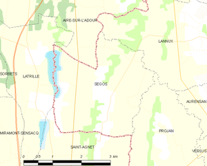
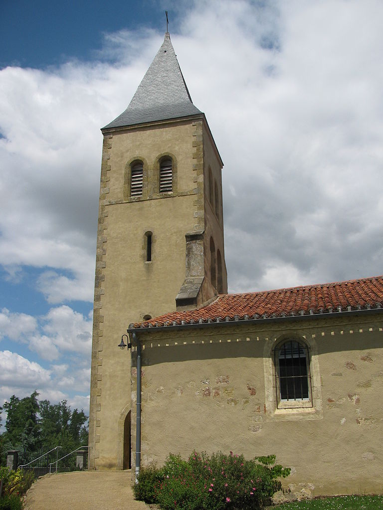
Ségos
- commune in Gers, France
- Country:

- Postal Code: 32400
- Coordinates: 43° 37' 30" N, 0° 15' 25" E


- GPS tracks (wikiloc): [Link]
- Area: 8.67 sq km
- Population: 238
Vergoignan
- commune in Gers, France
- Country:

- Postal Code: 32720
- Coordinates: 43° 43' 4" N, 0° 11' 54" E


- GPS tracks (wikiloc): [Link]
- Area: 10.44 sq km
- Population: 283


Lannux
- commune in Gers, France
- Country:

- Postal Code: 32400
- Coordinates: 43° 38' 50" N, 0° 13' 1" E


- GPS tracks (wikiloc): [Link]
- Area: 12.83 sq km
- Population: 244


Cazères-sur-l'Adour
- commune in Landes, France
- Country:

- Postal Code: 40270
- Coordinates: 43° 45' 38" N, 0° 19' 3" E


- GPS tracks (wikiloc): [Link]
- Area: 31.25 sq km
- Population: 1060


Barcelonne-du-Gers
- commune in Gers, France
- Country:

- Postal Code: 32720
- Coordinates: 43° 42' 12" N, 0° 14' 9" E


- GPS tracks (wikiloc): [Link]
- Area: 20.29 sq km
- Population: 1363
- Web site: [Link]


Duhort-Bachen
- commune in Landes, France
- Country:

- Postal Code: 40800
- Coordinates: 43° 43' 29" N, 0° 19' 23" E


- GPS tracks (wikiloc): [Link]
- Area: 34.17 sq km
- Population: 661


Bernède
- commune in Gers, France
- Country:

- Postal Code: 32400
- Coordinates: 43° 40' 10" N, 0° 13' 18" E


- GPS tracks (wikiloc): [Link]
- Area: 8.18 sq km
- Population: 206


Sorbets
- commune in Landes, France
- Country:

- Postal Code: 40320
- Coordinates: 43° 38' 7" N, 0° 19' 46" E


- GPS tracks (wikiloc): [Link]
- Area: 11.88 sq km
- Population: 198


Latrille
- commune in Landes, France
- Country:

- Postal Code: 40800
- Coordinates: 43° 37' 41" N, 0° 17' 17" E


- GPS tracks (wikiloc): [Link]
- Area: 6.84 sq km
- Population: 147


Bahus-Soubiran
- commune in Landes, France
- Country:

- Postal Code: 40320
- Coordinates: 43° 40' 25" N, 0° 21' 22" E


- GPS tracks (wikiloc): [Link]
- Area: 14.53 sq km
- Population: 416


Le Houga
- commune in Gers, France
- Country:

- Postal Code: 32460
- Coordinates: 43° 46' 30" N, 0° 10' 50" E


- GPS tracks (wikiloc): [Link]
- Area: 31.51 sq km
- Population: 1205
