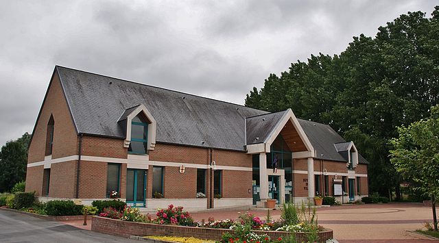
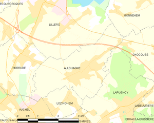
Allouagne (Allouagne)
- commune in Pas-de-Calais, France
- Country:

- Postal Code: 62157
- Coordinates: 50° 31' 50" N, 2° 30' 29" E


- GPS tracks (wikiloc): [Link]
- Area: 7.81 sq km
- Population: 2953
- Web site: http://www.ville-allouagne.fr
- Wikipedia en: wiki(en)
- Wikipedia: wiki(fr)
- Wikidata storage: Wikidata: Q373944
- Wikipedia Commons Category: [Link]
- Freebase ID: [/m/02x80j7]
- Freebase ID: [/m/02x80j7]
- GeoNames ID: Alt: [3038075]
- GeoNames ID: Alt: [3038075]
- SIREN number: [216200238]
- SIREN number: [216200238]
- BnF ID: [152684652]
- BnF ID: [152684652]
- VIAF ID: Alt: [234763690]
- VIAF ID: Alt: [234763690]
- GND ID: Alt: [4445815-0]
- GND ID: Alt: [4445815-0]
- INSEE municipality code: 62023
- INSEE municipality code: 62023
Shares border with regions:


Auchel
- commune in Pas-de-Calais, France
- Country:

- Postal Code: 62260
- Coordinates: 50° 30' 30" N, 2° 28' 25" E


- GPS tracks (wikiloc): [Link]
- Area: 6 sq km
- Population: 10574
- Web site: [Link]


Lillers
- commune in Pas-de-Calais, France
- Country:

- Postal Code: 62190
- Coordinates: 50° 33' 49" N, 2° 28' 55" E


- GPS tracks (wikiloc): [Link]
- Area: 26.9 sq km
- Population: 10196
- Web site: [Link]


Chocques
- commune in Pas-de-Calais, France
- Country:

- Postal Code: 62920
- Coordinates: 50° 32' 31" N, 2° 34' 23" E


- GPS tracks (wikiloc): [Link]
- Area: 7.95 sq km
- Population: 2974


Lozinghem
- commune in Pas-de-Calais, France
- Country:

- Postal Code: 62540
- Coordinates: 50° 31' 3" N, 2° 30' 0" E


- GPS tracks (wikiloc): [Link]
- Area: 2.15 sq km
- Population: 1301


Lapugnoy
- commune in Pas-de-Calais, France
- Country:

- Postal Code: 62122
- Coordinates: 50° 30' 59" N, 2° 32' 25" E


- GPS tracks (wikiloc): [Link]
- Area: 8.61 sq km
- Population: 3444
- Web site: [Link]


Gonnehem
- commune in Pas-de-Calais, France
- Country:

- Postal Code: 62920
- Coordinates: 50° 33' 42" N, 2° 34' 26" E


- GPS tracks (wikiloc): [Link]
- Area: 15.31 sq km
- Population: 2559


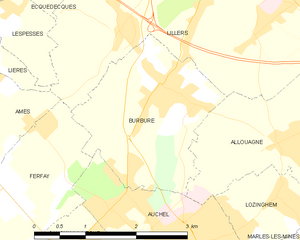
Burbure
- commune in Pas-de-Calais, France
- Country:

- Postal Code: 62151
- Coordinates: 50° 32' 19" N, 2° 28' 1" E


- GPS tracks (wikiloc): [Link]
- AboveSeaLevel: 65 м m
- Area: 5.53 sq km
- Population: 2984
