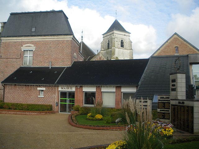
arrondissement of Béthune (arrondissement de Béthune)
- arrondissement of France
- Country:

- Capital: Béthune
- Coordinates: 50° 30' 0" N, 2° 40' 0" E


- GPS tracks (wikiloc): [Link]
- Area: 674 sq km
- Population: 293808
- Wikipedia en: wiki(en)
- Wikipedia: wiki(fr)
- Wikidata storage: Wikidata: Q700778
- Freebase ID: [/m/046mzp]
- GeoNames ID: Alt: [3033000]
- INSEE arrondissement code: [622]
- GNS Unique Feature ID: -1412322
Includes regions:


canton of Auchel
- canton of France
- Country:

- Capital: Auchel
- Coordinates: 50° 32' 1" N, 2° 26' 33" E


- GPS tracks (wikiloc): [Link]
- Population: 36060


canton of Bruay-la-Buissière
- canton of France
- Country:

- Capital: Bruay-la-Buissière
- Coordinates: 50° 28' 55" N, 2° 32' 55" E


- GPS tracks (wikiloc): [Link]
- Population: 35945

canton of Douvrin
- canton of France
- Country:

- Capital: Douvrin
- Coordinates: 50° 31' 15" N, 2° 48' 33" E


- GPS tracks (wikiloc): [Link]
- Population: 40687

canton of Lillers
- canton of France
- Country:

- Capital: Lillers
- Coordinates: 50° 35' 50" N, 2° 32' 57" E


- GPS tracks (wikiloc): [Link]
- Population: 39415

canton of Norrent-Fontes
- canton of France
- Country:

- Capital: Norrent-Fontes
- Coordinates: 50° 35' 20" N, 2° 22' 58" E


- GPS tracks (wikiloc): [Link]


canton of Nœux-les-Mines
- canton of France
- Country:

- Capital: Nœux-les-Mines
- Coordinates: 50° 30' 5" N, 2° 40' 46" E


- GPS tracks (wikiloc): [Link]
- Population: 41986


