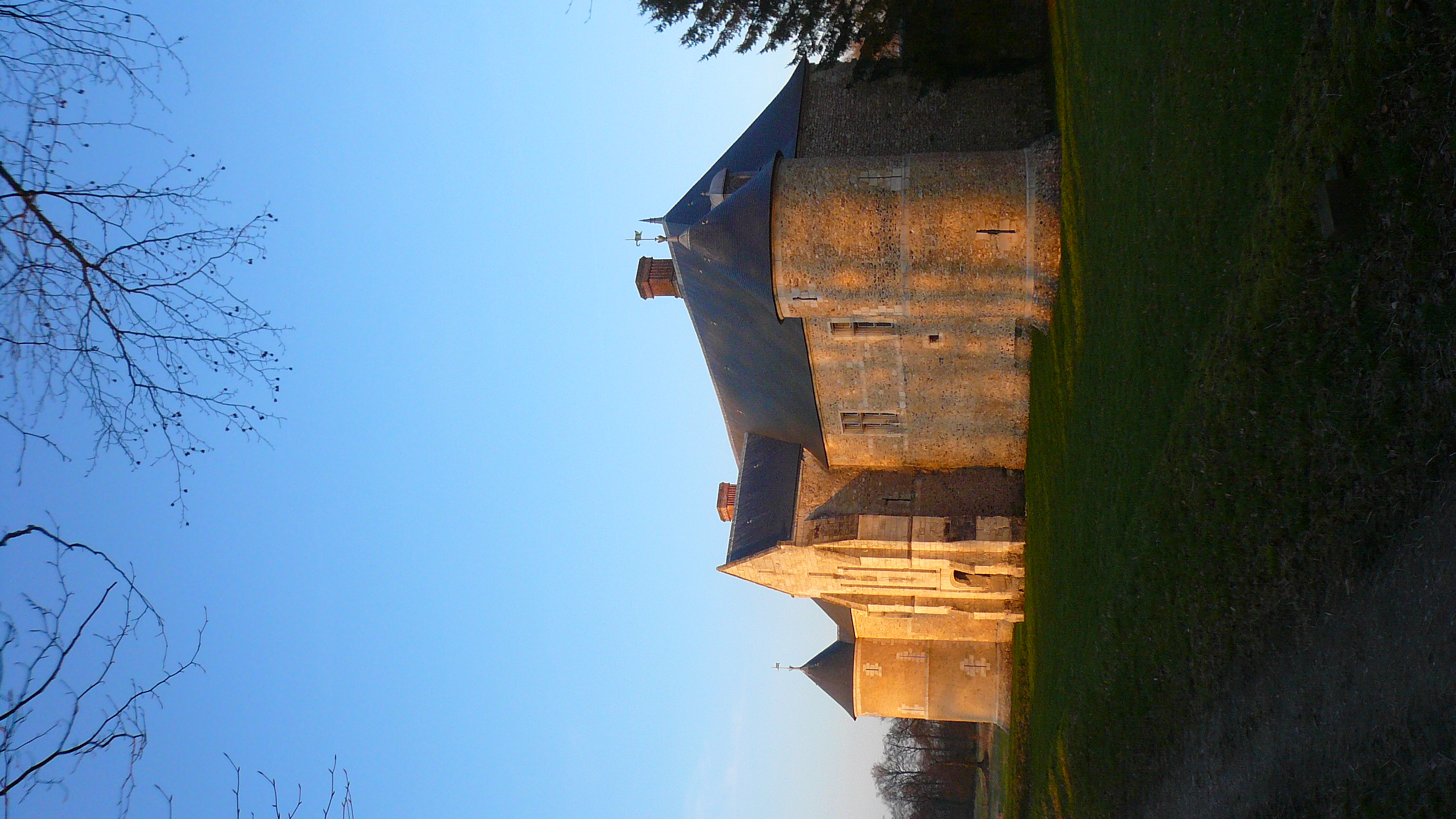
Alvimare (Alvimare)

- commune in Seine-Maritime, France
- Country:

- Postal Code: 76640
- Coordinates: 49° 36' 21" N, 0° 37' 53" E


- GPS tracks (wikiloc): [Link]
- Area: 6.73 sq km
- Population: 626
- Web site: https://www.alvimare.fr
- Wikipedia en: wiki(en)
- Wikipedia: wiki(fr)
- Wikidata storage: Wikidata: Q377497
- Wikipedia Commons Category: [Link]
- Freebase ID: [/m/03qgc6n]
- GeoNames ID: Alt: [3037997]
- SIREN number: [217600022]
- BnF ID: [15274590s]
- INSEE municipality code: 76002
Shares border with regions:
Cléville
- commune in Seine-Maritime, France
- Country:
- Postal Code: 76640
- Coordinates: 49° 37' 16" N, 0° 36' 57" E
- GPS tracks (wikiloc): [Link]
- Area: 5.47 sq km
- Population: 160

Écretteville-lès-Baons
- commune in Seine-Maritime, France
- Country:
- Postal Code: 76190
- Coordinates: 49° 37' 37" N, 0° 40' 57" E
- GPS tracks (wikiloc): [Link]
- Area: 9.39 sq km
- Population: 386


Foucart
- commune in Seine-Maritime, France
- Country:
- Postal Code: 76640
- Coordinates: 49° 36' 50" N, 0° 35' 43" E
- GPS tracks (wikiloc): [Link]
- Area: 4.28 sq km
- Population: 357


Trouville
- commune in Seine-Maritime, France
- Country:
- Postal Code: 76210
- Coordinates: 49° 34' 26" N, 0° 36' 2" E
- GPS tracks (wikiloc): [Link]
- AboveSeaLevel: 135 м m
- Area: 10.38 sq km
- Population: 645
- Web site: [Link]


Allouville-Bellefosse
- commune in Seine-Maritime, France
- Country:
- Postal Code: 76190
- Coordinates: 49° 35' 45" N, 0° 40' 42" E
- GPS tracks (wikiloc): [Link]
- Area: 14.66 sq km
- Population: 1163