
Ambleteuse (Ambleteuse)

- commune in Pas-de-Calais, France
- Country:

- Postal Code: 62164
- Coordinates: 50° 48' 34" N, 1° 36' 23" E


- GPS tracks (wikiloc): [Link]
- Area: 5.45 sq km
- Population: 1807
- Web site: http://www.ambleteuse.org
- Wikipedia en: wiki(en)
- Wikipedia: wiki(fr)
- Wikidata storage: Wikidata: Q457707
- Wikipedia Commons Category: [Link]
- Freebase ID: [/m/02x80v6]
- GeoNames ID: Alt: [3037915]
- SIREN number: [216200253]
- BnF ID: [15268467r]
- VIAF ID: Alt: [152654869]
- OSM relation ID: [240393]
- GND ID: Alt: [4693468-6]
- Library of Congress authority ID: Alt: [n2005067366]
- INSEE municipality code: 62025
Shares border with regions:
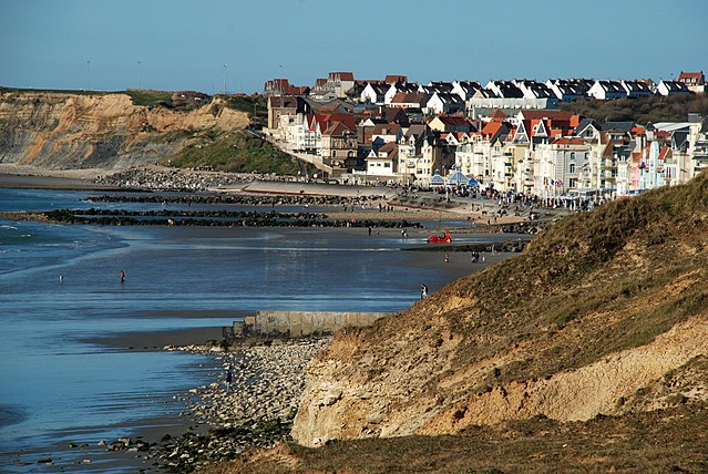

Wimereux
- commune in Pas-de-Calais, France
- Country:
- Postal Code: 62930
- Coordinates: 50° 46' 11" N, 1° 36' 36" E
- GPS tracks (wikiloc): [Link]
- Area: 7.71 sq km
- Population: 7035
- Web site: [Link]


Bazinghen
- commune in Pas-de-Calais, France
- Country:
- Postal Code: 62250
- Coordinates: 50° 49' 31" N, 1° 39' 45" E
- GPS tracks (wikiloc): [Link]
- Area: 13.2 sq km
- Population: 406
- Web site: [Link]


Marquise
- commune in Pas-de-Calais, France
- Country:
- Postal Code: 62250
- Coordinates: 50° 48' 53" N, 1° 42' 12" E
- GPS tracks (wikiloc): [Link]
- Area: 13.46 sq km
- Population: 5133
- Web site: [Link]

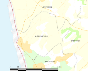
Audresselles
- commune in Pas-de-Calais, France
- Country:
- Postal Code: 62164
- Coordinates: 50° 49' 25" N, 1° 35' 37" E
- GPS tracks (wikiloc): [Link]
- Area: 5.72 sq km
- Population: 679

Wimille
- commune in Pas-de-Calais, France
- Country:
- Postal Code: 62126
- Coordinates: 50° 45' 47" N, 1° 37' 57" E
- GPS tracks (wikiloc): [Link]
- Area: 22.24 sq km
- Population: 4125
- Web site: [Link]