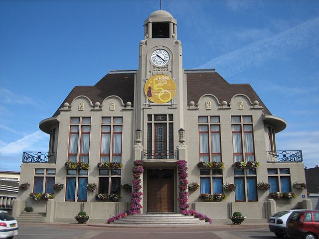
arrondissement of Boulogne-sur-Mer (arrondissement de Boulogne-sur-Mer)
- arrondissement of France
- Country:

- Capital: Boulogne-sur-Mer
- Coordinates: 50° 45' 0" N, 1° 50' 0" E


- GPS tracks (wikiloc): [Link]
- Area: 674 sq km
- Population: 160780
- Wikipedia en: wiki(en)
- Wikipedia: wiki(fr)
- Wikidata storage: Wikidata: Q700712
- Wikipedia Commons Category: [Link]
- Freebase ID: [/m/09563r]
- GeoNames ID: Alt: [3031132]
- OSM relation ID: [2194320]
- INSEE arrondissement code: [623]
- GNS Unique Feature ID: -1414202
Includes regions:


canton of Outreau
- canton of France
- Country:

- Capital: Outreau
- Coordinates: 50° 41' 31" N, 1° 34' 55" E


- GPS tracks (wikiloc): [Link]
- Population: 37640


canton of Desvres
- canton of France
- Country:

- Capital: Desvres
- Coordinates: 50° 42' 12" N, 1° 51' 9" E


- GPS tracks (wikiloc): [Link]
- Population: 44766

canton of Boulogne-sur-Mer-Nord-Est
- canton of France
- Country:

- Capital: Boulogne-sur-Mer
- Coordinates: 50° 44' 56" N, 1° 40' 20" E


- GPS tracks (wikiloc): [Link]

canton of Le Portel
- canton of France
- Country:

- Capital: Le Portel
- Coordinates: 50° 42' 59" N, 1° 35' 39" E


- GPS tracks (wikiloc): [Link]
- Population: 19092

canton of Boulogne-sur-Mer-Nord-Ouest
- canton of France (until March 2015)
- Country:

- Capital: Boulogne-sur-Mer
- Coordinates: 50° 44' 53" N, 1° 36' 47" E


- GPS tracks (wikiloc): [Link]

canton of Boulogne-sur-Mer-Sud
- canton of France (until March 2015)
- Country:

- Capital: Boulogne-sur-Mer
- Coordinates: 50° 43' 10" N, 1° 39' 28" E


- GPS tracks (wikiloc): [Link]


