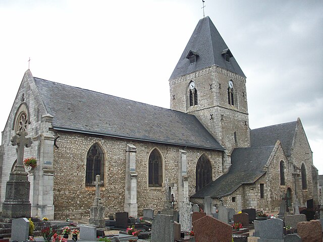
Amfreville-sous-les-Monts (Amfreville-sous-les-Monts)

- commune in Eure, France
- Country:

- Postal Code: 27380
- Coordinates: 49° 18' 16" N, 1° 16' 12" E


- GPS tracks (wikiloc): [Link]
- Area: 7.52 sq km
- Population: 509
- Wikipedia en: wiki(en)
- Wikipedia: wiki(fr)
- Wikidata storage: Wikidata: Q1009853
- Wikipedia Commons Category: [Link]
- Freebase ID: [/m/02x6cby]
- Freebase ID: [/m/02x6cby]
- GeoNames ID: Alt: [6447928]
- GeoNames ID: Alt: [6447928]
- SIREN number: [212700132]
- SIREN number: [212700132]
- BnF ID: [15253255s]
- BnF ID: [15253255s]
- VIAF ID: Alt: [235662364]
- VIAF ID: Alt: [235662364]
- PACTOLS thesaurus ID: [pcrtcGzq1037l7]
- PACTOLS thesaurus ID: [pcrtcGzq1037l7]
- INSEE municipality code: 27013
- INSEE municipality code: 27013
Shares border with regions:

Pîtres
- commune in Eure, France
- Country:
- Postal Code: 27590
- Coordinates: 49° 19' 10" N, 1° 13' 33" E
- GPS tracks (wikiloc): [Link]
- Area: 10.97 sq km
- Population: 2452
- Web site: [Link]

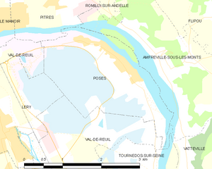
Poses
- commune in Eure, France
- Country:
- Postal Code: 27740
- Coordinates: 49° 18' 14" N, 1° 14' 40" E
- GPS tracks (wikiloc): [Link]
- Area: 7.2 sq km
- Population: 1172
- Web site: [Link]


Flipou
- commune in Eure, France
- Country:
- Postal Code: 27380
- Coordinates: 49° 18' 53" N, 1° 16' 45" E
- GPS tracks (wikiloc): [Link]
- Area: 6.97 sq km
- Population: 335

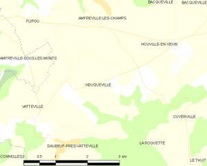
Heuqueville
- commune in Eure, France
- Country:
- Postal Code: 27700
- Coordinates: 49° 17' 17" N, 1° 20' 21" E
- GPS tracks (wikiloc): [Link]
- Area: 7.77 sq km
- Population: 365
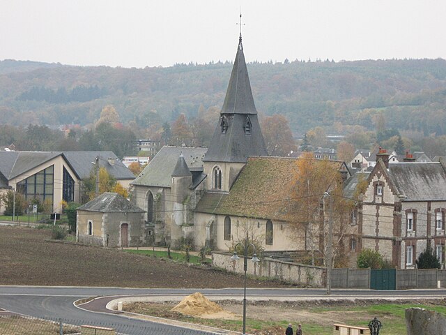

Romilly-sur-Andelle
- commune in Eure, France
- Country:
- Postal Code: 27610
- Coordinates: 49° 19' 52" N, 1° 15' 32" E
- GPS tracks (wikiloc): [Link]
- Area: 8.53 sq km
- Population: 3229
- Web site: [Link]