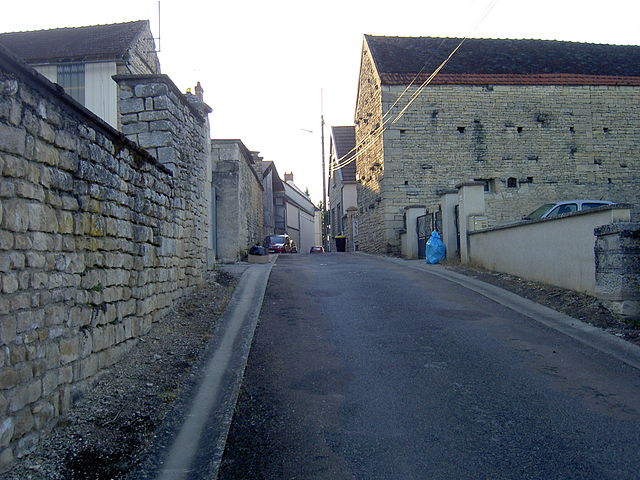
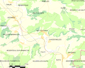
Ancy-le-Franc (Ancy-le-Franc)
- commune in Yonne, France
- Country:

- Postal Code: 89160
- Coordinates: 47° 46' 35" N, 4° 9' 46" E


- GPS tracks (wikiloc): [Link]
- AboveSeaLevel: 193 м m
- Area: 19.65 sq km
- Population: 938
- Web site: http://www.cc-ancylefranc.net/res.php
- Wikipedia en: wiki(en)
- Wikipedia: wiki(fr)
- Wikidata storage: Wikidata: Q1140847
- Wikipedia Commons Category: [Link]
- Freebase ID: [/m/03np9vx]
- Freebase ID: [/m/03np9vx]
- GeoNames ID: Alt: [6452591]
- GeoNames ID: Alt: [6452591]
- SIREN number: [218900058]
- SIREN number: [218900058]
- BnF ID: [15279456j]
- BnF ID: [15279456j]
- VIAF ID: Alt: [263516141]
- VIAF ID: Alt: [263516141]
- archINFORM location ID: [8258]
- archINFORM location ID: [8258]
- Library of Congress authority ID: Alt: [n83145945]
- Library of Congress authority ID: Alt: [n83145945]
- PACTOLS thesaurus ID: [pcrtqBpwtgaAxN]
- PACTOLS thesaurus ID: [pcrtqBpwtgaAxN]
- INSEE municipality code: 89005
- INSEE municipality code: 89005
Shares border with regions:


Ancy-le-Libre
- commune in Yonne, France
- Country:

- Postal Code: 89160
- Coordinates: 47° 48' 9" N, 4° 7' 23" E


- GPS tracks (wikiloc): [Link]
- Area: 21.65 sq km
- Population: 181


Argenteuil-sur-Armançon
- commune in Yonne, France
- Country:

- Postal Code: 89160
- Coordinates: 47° 45' 1" N, 4° 6' 28" E


- GPS tracks (wikiloc): [Link]
- Area: 30.51 sq km
- Population: 211


Fulvy
- commune in Yonne, France
- Country:

- Postal Code: 89160
- Coordinates: 47° 44' 29" N, 4° 10' 16" E


- GPS tracks (wikiloc): [Link]
- Area: 3.81 sq km
- Population: 132
Villiers-les-Hauts
- commune in Yonne, France
- Country:

- Postal Code: 89160
- Coordinates: 47° 43' 35" N, 4° 8' 54" E


- GPS tracks (wikiloc): [Link]
- Area: 19.12 sq km
- Population: 134


Gland
- commune in Yonne, France
- Country:

- Postal Code: 89740
- Coordinates: 47° 49' 18" N, 4° 13' 2" E


- GPS tracks (wikiloc): [Link]
- Area: 16.67 sq km
- Population: 35


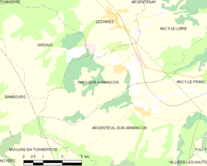
Pacy-sur-Armançon
- commune in Yonne, France
- Country:

- Postal Code: 89160
- Coordinates: 47° 46' 38" N, 4° 5' 38" E


- GPS tracks (wikiloc): [Link]
- Area: 13.35 sq km
- Population: 189


Chassignelles
- commune in Yonne, France
- Country:

- Postal Code: 89160
- Coordinates: 47° 45' 33" N, 4° 10' 40" E


- GPS tracks (wikiloc): [Link]
- Area: 13 sq km
- Population: 320
