Anglure-sous-Dun (Anglure-sous-Dun)

- commune in Saône-et-Loire, France
- Country:

- Postal Code: 71170
- Coordinates: 46° 13' 57" N, 4° 21' 38" E


- GPS tracks (wikiloc): [Link]
- Area: 7 sq km
- Population: 163
- Wikipedia en: wiki(en)
- Wikipedia: wiki(fr)
- Wikidata storage: Wikidata: Q1423313
- Wikipedia Commons Category: [Link]
- Wikipedia Commons Maps Category: [Link]
- Freebase ID: [/m/03qfx2z]
- Freebase ID: [/m/03qfx2z]
- GeoNames ID: Alt: [6452497]
- GeoNames ID: Alt: [6452497]
- SIREN number: [217100080]
- SIREN number: [217100080]
- BnF ID: [15272982s]
- BnF ID: [15272982s]
- INSEE municipality code: 71008
- INSEE municipality code: 71008
Shares border with regions:


Mussy-sous-Dun
- commune in Saône-et-Loire, France
- Country:
- Postal Code: 71170
- Coordinates: 46° 14' 3" N, 4° 19' 47" E
- GPS tracks (wikiloc): [Link]
- Area: 10 sq km
- Population: 348


Saint-Clément-de-Vers
- commune in Rhône, France
- Country:
- Postal Code: 69790
- Coordinates: 46° 13' 36" N, 4° 24' 12" E
- GPS tracks (wikiloc): [Link]
- Area: 8.96 sq km
- Population: 227
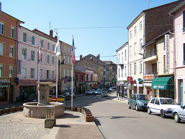

Chauffailles
- commune in Saône-et-Loire, France
- Country:
- Postal Code: 71170
- Coordinates: 46° 12' 23" N, 4° 20' 24" E
- GPS tracks (wikiloc): [Link]
- Area: 22.63 sq km
- Population: 3725
- Web site: [Link]


Saint-Racho
- commune in Saône-et-Loire, France
- Country:
- Postal Code: 71800
- Coordinates: 46° 15' 54" N, 4° 22' 5" E
- GPS tracks (wikiloc): [Link]
- Area: 10.57 sq km
- Population: 181