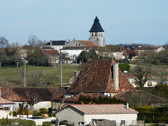
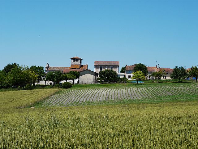
Antonne-et-Trigonant (Antonne-et-Trigonant)
- commune in Dordogne, France
- Country:

- Postal Code: 24420
- Coordinates: 45° 12' 45" N, 0° 49' 51" E


- GPS tracks (wikiloc): [Link]
- Area: 20.23 sq km
- Population: 1233
- Wikipedia en: wiki(en)
- Wikipedia: wiki(fr)
- Wikidata storage: Wikidata: Q1012231
- Wikipedia Commons Category: [Link]
- Freebase ID: [/m/03mfgwl]
- Freebase ID: [/m/03mfgwl]
- GeoNames ID: Alt: [3037424]
- GeoNames ID: Alt: [3037424]
- SIREN number: [212400113]
- SIREN number: [212400113]
- BnF ID: [15251662p]
- BnF ID: [15251662p]
- VIAF ID: Alt: [248280668]
- VIAF ID: Alt: [248280668]
- GND ID: Alt: [4600732-5]
- GND ID: Alt: [4600732-5]
- PACTOLS thesaurus ID: [pcrtn8JdlphjJ0]
- PACTOLS thesaurus ID: [pcrtn8JdlphjJ0]
- SUDOC authorities ID: [050199552]
- SUDOC authorities ID: [050199552]
- INSEE municipality code: 24011
- INSEE municipality code: 24011
Shares border with regions:


Escoire
- commune in Dordogne, France
- Country:

- Postal Code: 24420
- Coordinates: 45° 12' 38" N, 0° 50' 58" E


- GPS tracks (wikiloc): [Link]
- Area: 3.94 sq km
- Population: 424


Sorges
- former commune in Dordogne, France
- Country:

- Postal Code: 24420
- Coordinates: 45° 18' 28" N, 0° 52' 24" E


- GPS tracks (wikiloc): [Link]
- Area: 47.38 sq km
- Population: 1268
- Web site: [Link]


Bassillac
- former commune in Dordogne, France
- Country:

- Postal Code: 24330
- Coordinates: 45° 11' 26" N, 0° 48' 48" E


- GPS tracks (wikiloc): [Link]
- Area: 18.73 sq km
- Population: 1877


Cornille
- commune in Dordogne, France
- Country:

- Postal Code: 24750
- Coordinates: 45° 15' 5" N, 0° 47' 4" E


- GPS tracks (wikiloc): [Link]
- Area: 13.04 sq km
- Population: 673
- Web site: [Link]
