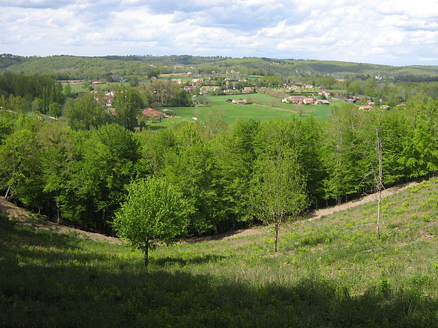
Escoire (Escoire)

- commune in Dordogne, France
- Country:

- Postal Code: 24420
- Coordinates: 45° 12' 38" N, 0° 50' 58" E


- GPS tracks (wikiloc): [Link]
- Area: 3.94 sq km
- Population: 424
- Wikipedia en: wiki(en)
- Wikipedia: wiki(fr)
- Wikidata storage: Wikidata: Q1079295
- Wikipedia Commons Category: [Link]
- Freebase ID: [/m/03mg5_f]
- Freebase ID: [/m/03mg5_f]
- GeoNames ID: Alt: [3019787]
- GeoNames ID: Alt: [3019787]
- SIREN number: [212401624]
- SIREN number: [212401624]
- BnF ID: [15251811b]
- BnF ID: [15251811b]
- VIAF ID: Alt: [242780127]
- VIAF ID: Alt: [242780127]
- INSEE municipality code: 24162
- INSEE municipality code: 24162
Shares border with regions:


Antonne-et-Trigonant
- commune in Dordogne, France
- Country:
- Postal Code: 24420
- Coordinates: 45° 12' 45" N, 0° 49' 51" E
- GPS tracks (wikiloc): [Link]
- Area: 20.23 sq km
- Population: 1233


Sarliac-sur-l'Isle
- commune in Dordogne, France
- Country:
- Postal Code: 24420
- Coordinates: 45° 14' 21" N, 0° 52' 30" E
- GPS tracks (wikiloc): [Link]
- Area: 9.57 sq km
- Population: 1032
- Web site: [Link]


Bassillac
- former commune in Dordogne, France
- Country:
- Postal Code: 24330
- Coordinates: 45° 11' 26" N, 0° 48' 48" E
- GPS tracks (wikiloc): [Link]
- Area: 18.73 sq km
- Population: 1877

Le Change
- former commune in Dordogne, France
- Country:
- Postal Code: 24640
- Coordinates: 45° 11' 38" N, 0° 53' 38" E
- GPS tracks (wikiloc): [Link]
- Area: 16.22 sq km
- Population: 615
- Web site: [Link]