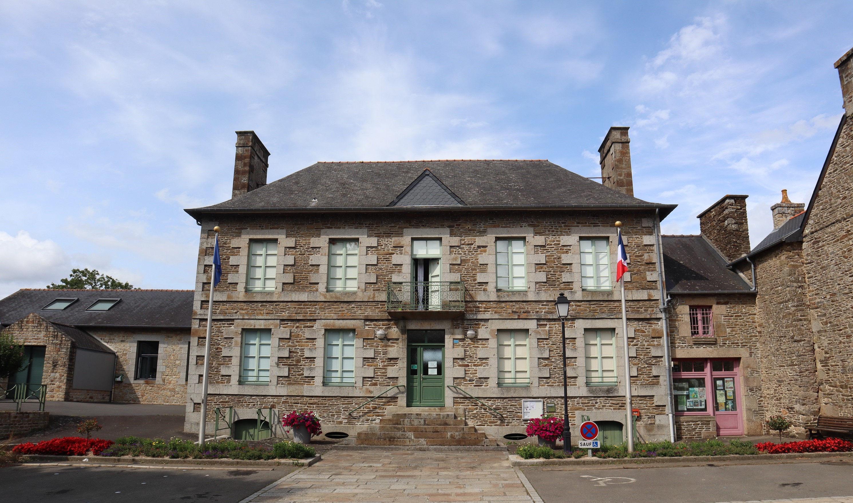
Antrain (Antrain)

- commune in Ille-et-Vilaine, France
- Country:

- Postal Code: 35560
- Coordinates: 48° 27' 38" N, 1° 29' 5" E


- GPS tracks (wikiloc): [Link]
- Area: 9.31 sq km
- Population: 1319
- Web site: http://www.antrain.fr
- Wikipedia en: wiki(en)
- Wikipedia: wiki(fr)
- Wikidata storage: Wikidata: Q648164
- Wikipedia Commons Category: [Link]
- Freebase ID: [/m/03c8l62]
- Freebase ID: [/m/03c8l62]
- GeoNames ID: Alt: [3037418]
- GeoNames ID: Alt: [3037418]
- SIREN number: [213500044]
- SIREN number: [213500044]
- BnF ID: [152569485]
- BnF ID: [152569485]
- VIAF ID: Alt: [239112054]
- VIAF ID: Alt: [239112054]
- OSM relation ID: [973226]
- OSM relation ID: [973226]
- INSEE municipality code: 35004
- INSEE municipality code: 35004
Shares border with regions:
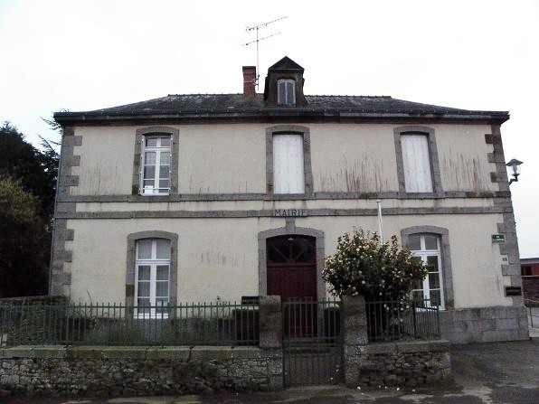
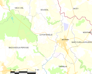
La Fontenelle
- commune in Ille-et-Vilaine, France
- Country:
- Postal Code: 35560
- Coordinates: 48° 28' 4" N, 1° 30' 10" E
- GPS tracks (wikiloc): [Link]
- Area: 12.36 sq km
- Population: 539

Saint-Ouen-la-Rouërie
- commune in Ille-et-Vilaine, France
- Country:
- Postal Code: 35460
- Coordinates: 48° 27' 46" N, 1° 26' 27" E
- GPS tracks (wikiloc): [Link]
- AboveSeaLevel: 83 м m
- Area: 21.12 sq km
- Population: 822
- Web site: [Link]


Tremblay
- commune in Ille-et-Vilaine, France
- Country:
- Postal Code: 35460
- Coordinates: 48° 25' 20" N, 1° 28' 33" E
- GPS tracks (wikiloc): [Link]
- Area: 36.22 sq km
- Population: 1566
- Web site: [Link]


Sougéal
- commune in Ille-et-Vilaine, France
- Country:
- Postal Code: 35610
- Coordinates: 48° 30' 36" N, 1° 31' 22" E
- GPS tracks (wikiloc): [Link]
- Area: 14.15 sq km
- Population: 640


Sacey
- commune in Manche, France
- Country:
- Postal Code: 50170
- Coordinates: 48° 30' 34" N, 1° 27' 0" E
- GPS tracks (wikiloc): [Link]
- Area: 15.27 sq km
- Population: 524