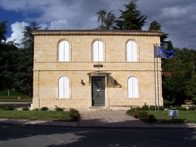
Arbanats (Arbanats)

- commune in Gironde, France
- Country:

- Postal Code: 33640
- Coordinates: 44° 40' 31" N, 0° 23' 44" E


- GPS tracks (wikiloc): [Link]
- Area: 7.6 sq km
- Population: 1186
- Web site: http://arbanats.fr
- Wikipedia en: wiki(en)
- Wikipedia: wiki(fr)
- Wikidata storage: Wikidata: Q199449
- Wikipedia Commons Category: [Link]
- Freebase ID: [/m/03mhdjq]
- GeoNames ID: Alt: [6452263]
- SIREN number: [213300072]
- BnF ID: [15256061w]
- PACTOLS thesaurus ID: [pcrtQBML76QoA7]
- INSEE municipality code: 33007
Shares border with regions:


Virelade
- commune in Gironde, France
- Country:
- Postal Code: 33720
- Coordinates: 44° 39' 58" N, 0° 22' 54" E
- GPS tracks (wikiloc): [Link]
- Area: 13.41 sq km
- Population: 1045
- Web site: [Link]


Saint-Michel-de-Rieufret
- commune in Gironde, France
- Country:
- Postal Code: 33720
- Coordinates: 44° 37' 18" N, 0° 25' 55" E
- GPS tracks (wikiloc): [Link]
- Area: 18.94 sq km
- Population: 702
- Web site: [Link]


Portets
- commune in Gironde, France
- Country:
- Postal Code: 33640
- Coordinates: 44° 41' 49" N, 0° 25' 27" E
- GPS tracks (wikiloc): [Link]
- Area: 15.49 sq km
- Population: 2650
- Web site: [Link]


Paillet
- commune in Gironde, France
- Country:
- Postal Code: 33550
- Coordinates: 44° 41' 8" N, 0° 21' 54" E
- GPS tracks (wikiloc): [Link]
- Area: 2.48 sq km
- Population: 1221
- Web site: [Link]

Lestiac-sur-Garonne
- commune in Gironde, France
- Country:
- Postal Code: 33550
- Coordinates: 44° 41' 35" N, 0° 22' 27" E
- GPS tracks (wikiloc): [Link]
- Area: 2.98 sq km
- Population: 578