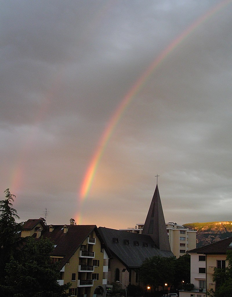
Archamps (Archamps)

- commune in Haute-Savoie, France
 Hiking in Archamps
Archamps, located near the border of France and Switzerland, offers a unique blend of scenic landscapes that cater to hikers of various skill levels. The area is characterized by its lush green hills, wooded areas, and panoramic views of the surrounding mountains, making it a great destination for nature enthusiasts.
Hiking Trails:
-
Local Trails: There are several local hiking trails that wind through the countryside, often featuring gentle slopes and well-marked paths. These trails give you a chance to explore the flora and fauna of the area.
-
Mont Salève: A short distance from Archamps, Mont Salève is popular among hikers. You can find various trails leading to the summit, where breathtaking views of Geneva and Lake Geneva await. The trails range from easy to challenging, so there’s something for everyone.
-
Cross-Border Trails: Due to its proximity to Switzerland, there are opportunities for cross-border hikes. You can explore trails that connect to Swiss paths, which provide different landscapes and cultural experiences.
Best Time to Hike:
- Spring (April to June): Beautiful blooming flowers and moderate temperatures make this a great time for hiking.
- Fall (September to November): The autumn colors provide stunning scenery, and the temperatures are still pleasant for outdoor activities.
Preparation:
- Gear: Make sure to wear appropriate hiking boots and carry a backpack with water, snacks, and a first aid kit. Trekking poles can also be helpful for more challenging trails.
- Navigation: Familiarize yourself with trails using local maps or apps. It’s a good idea to download offline maps in case of poor signal coverage in remote areas.
Local Regulations:
Always check local guidelines or regulations regarding hiking, especially concerning nature reserves or protected areas. Following Leave No Trace principles is essential to preserve the natural beauty of the trails.
Whether you are an experienced hiker or just starting out, Archamps offers a wonderful opportunity to enjoy the great outdoors while taking in the beauty of the region. Happy hiking!
- Country:

- Postal Code: 74160
- Coordinates: 46° 8' 8" N, 6° 7' 57" E


- GPS tracks (wikiloc): [Link]
- Area: 10.69 sq km
- Population: 2585
- Wikipedia en: wiki(en)
- Wikipedia: wiki(fr)
- Wikidata storage: Wikidata: Q632422
- Wikipedia Commons Category: [Link]
- Freebase ID: [/m/03ntxl6]
- GeoNames ID: Alt: [6451010]
- SIREN number: [217400167]
- BnF ID: [15274276d]
- VIAF ID: Alt: [240516941]
- GND ID: Alt: [4369251-5]
- INSEE municipality code: 74016
Shares border with regions:

Saint-Julien-en-Genevois
- commune in Haute-Savoie, France
Hiking in Saint-Julien-en-Genevois
Saint-Julien-en-Genevois is a charming town nestled between the beautiful Jura Mountains and the French-Swiss border. It serves as an excellent base for hikers looking to explore the surrounding natural landscapes. Here’s a brief overview of hiking in the area:...
- Country:
- Postal Code: 74160
- Coordinates: 46° 8' 39" N, 6° 5' 3" E
- GPS tracks (wikiloc): [Link]
- Area: 10.59 sq km
- Population: 14085
- Web site: [Link]


La Muraz
- commune in Haute-Savoie, France
Hiking in La Muraz
La Muraz is a charming village located in the Swiss Alps, often known for its stunning landscapes and serene hiking routes. Situated close to the border between Switzerland and France, it offers an array of hiking opportunities that cater to different skill levels. Here are some key points to consider if you’re planning to hike in La Muraz:...
- Country:
- Postal Code: 74560
- Coordinates: 46° 7' 24" N, 6° 12' 20" E
- GPS tracks (wikiloc): [Link]
- Area: 14.38 sq km
- Population: 1059


Beaumont
- commune in Haute-Savoie, France
Hiking in Beaumont
Beaumont in Haute-Savoie is a charming destination for hiking enthusiasts. Located near the French Alps, this area offers a variety of trails that allow you to immerse yourself in stunning natural landscapes, including mountains, forests, and alpine meadows....
- Country:
- Postal Code: 74160
- Coordinates: 46° 5' 41" N, 6° 6' 5" E
- GPS tracks (wikiloc): [Link]
- Area: 9.74 sq km
- Population: 2685
- Web site: [Link]


Collonges-sous-Salève
- commune in Haute-Savoie, France
Hiking in Collonges-sous-Salève
Collonges-sous-Salève is a small commune located in the Haute-Savoie region of France, just across the border from Geneva, Switzerland. It is situated at the base of the Salève mountain, which offers a variety of hiking opportunities with stunning views of the surrounding landscapes, including Mont Blanc on clear days....
- Country:
- Postal Code: 74160
- Coordinates: 46° 8' 28" N, 6° 8' 42" E
- GPS tracks (wikiloc): [Link]
- Area: 6.13 sq km
- Population: 3938
- Web site: [Link]

Neydens
- commune in Haute-Savoie, France
Hiking in Neydens
Neydens, located in the Haute-Savoie region of France, is a charming destination that offers beautiful natural landscapes and opportunities for hiking enthusiasts. Situated near the foothills of the Alps, it provides access to a variety of trails that cater to different skill levels....
- Country:
- Postal Code: 74160
- Coordinates: 46° 7' 17" N, 6° 6' 16" E
- GPS tracks (wikiloc): [Link]
- Area: 6.96 sq km
- Population: 1794


Le Sappey
- commune in Haute-Savoie, France
Hiking in Le Sappey
Le Sappey-en-Chartreuse is a charming village located in the Chartreuse Mountains, near Grenoble in the French Alps. It's a fantastic base for hiking enthusiasts, offering a variety of trails suitable for all levels of experience. Here’s what you can expect when hiking in Le Sappey:...
- Country:
- Postal Code: 74350
- Coordinates: 46° 5' 19" N, 6° 9' 57" E
- GPS tracks (wikiloc): [Link]
- Area: 13.72 sq km
- Population: 407
- Web site: [Link]