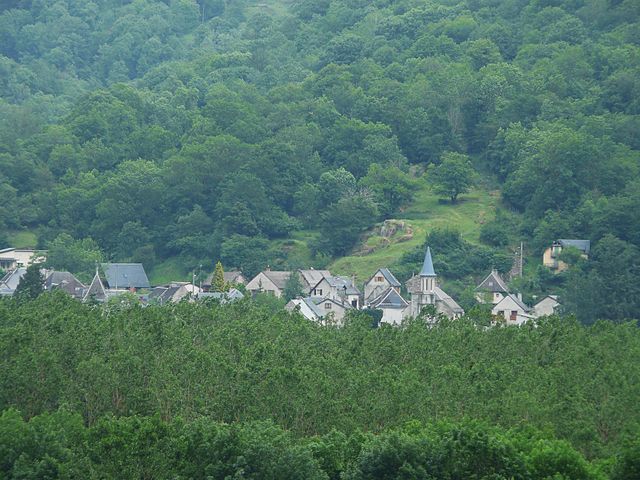
Argut-Dessous (Argut-Dessous)

- commune in Haute-Garonne, France
- Country:

- Postal Code: 31440
- Coordinates: 42° 53' 21" N, 0° 43' 4" E


- GPS tracks (wikiloc): [Link]
- Area: 2.7 sq km
- Population: 26
- Wikipedia en: wiki(en)
- Wikipedia: wiki(fr)
- Wikidata storage: Wikidata: Q611380
- Wikipedia Commons Category: [Link]
- Freebase ID: [/m/03nq1qr]
- Freebase ID: [/m/03nq1qr]
- GeoNames ID: Alt: [6448245]
- GeoNames ID: Alt: [6448245]
- SIREN number: [213100159]
- SIREN number: [213100159]
- BnF ID: [152550113]
- BnF ID: [152550113]
- INSEE municipality code: 31015
- INSEE municipality code: 31015
Shares border with regions:


Arlos
- commune in Haute-Garonne, France
- Country:
- Postal Code: 31440
- Coordinates: 42° 53' 29" N, 0° 42' 13" E
- GPS tracks (wikiloc): [Link]
- Area: 9.41 sq km
- Population: 99


Fos
- commune in Haute-Garonne, France
- Country:
- Postal Code: 31440
- Coordinates: 42° 52' 24" N, 0° 44' 10" E
- GPS tracks (wikiloc): [Link]
- Area: 18.17 sq km
- Population: 246
- Web site: [Link]
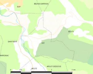
Lez
- commune in Haute-Garonne, France
- Country:
- Postal Code: 31440
- Coordinates: 42° 54' 33" N, 0° 42' 3" E
- GPS tracks (wikiloc): [Link]
- Area: 2.6 sq km
- Population: 59
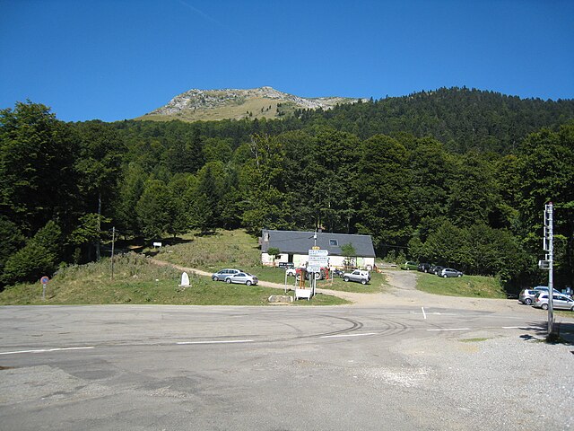

Boutx
- commune in Haute-Garonne, France
- Country:
- Postal Code: 31440
- Coordinates: 42° 55' 4" N, 0° 42' 56" E
- GPS tracks (wikiloc): [Link]
- Area: 47.28 sq km
- Population: 240