arrondissement of Évreux (arrondissement d'Évreux)

- arrondissement of France
- Country:

- Capital: Évreux
- Coordinates: 49° 1' 0" N, 1° 9' 0" E


- GPS tracks (wikiloc): [Link]
- Area: 2561 sq km
- Population: 140103
- Wikipedia en: wiki(en)
- Wikipedia: wiki(fr)
- Wikidata storage: Wikidata: Q702864
- Freebase ID: [/m/0954xr]
- GeoNames ID: Alt: [3019264]
- INSEE arrondissement code: [273]
- GNS Unique Feature ID: -1426097
Includes regions:

canton of Verneuil-sur-Avre
- canton of France
- Country:
- Coordinates: 48° 44' 10" N, 0° 55' 45" E
- GPS tracks (wikiloc): [Link]
- Area: 477.37 sq km
- Population: 29728

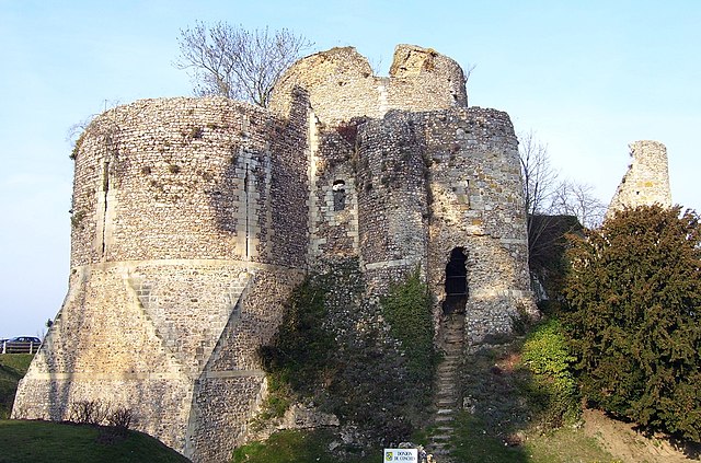

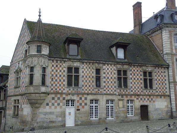
canton of Conches-en-Ouche
- canton of France
- Country:
- Capital: Conches-en-Ouche
- Coordinates: 48° 58' 35" N, 0° 56' 37" E
- GPS tracks (wikiloc): [Link]
- Population: 21536


canton of Nonancourt
- canton of France
- Country:
- Capital: Nonancourt
- Coordinates: 48° 46' 19" N, 1° 9' 33" E
- GPS tracks (wikiloc): [Link]


canton of Pacy-sur-Eure
- canton of France
- Country:
- Capital: Pacy-sur-Eure
- Coordinates: 48° 59' 38" N, 1° 22' 46" E
- GPS tracks (wikiloc): [Link]
- Population: 29205


canton of Saint-André-de-l'Eure
- canton of France
- Country:
- Capital: Saint-André-de-l'Eure
- Coordinates: 48° 54' 18" N, 1° 16' 28" E
- GPS tracks (wikiloc): [Link]
- Population: 30647


Vernon
- commune in Eure, France
- Country:
- Postal Code: 27200
- Coordinates: 49° 5' 30" N, 1° 29' 6" E
- GPS tracks (wikiloc): [Link]
- Area: 34.92 sq km
- Population: 23797
- Web site: [Link]


canton of Le Neubourg
- canton of France
- Country:
- Capital: Le Neubourg
- Coordinates: 49° 9' 1" N, 0° 54' 23" E
- GPS tracks (wikiloc): [Link]
- Population: 22586


canton of Breteuil
- canton of France
- Country:
- Capital: Breteuil
- Coordinates: 48° 50' 13" N, 0° 54' 53" E
- GPS tracks (wikiloc): [Link]
- Area: 662.33 sq km
- Population: 24171