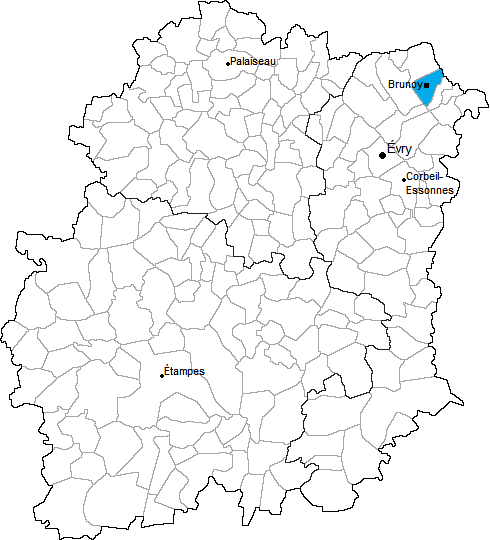
arrondissement of Évry (arrondissement d'Évry)

- arrondissement of France
- Country:

- Capital: Évry
- Coordinates: 48° 37' 39" N, 2° 26' 18" E


- GPS tracks (wikiloc): [Link]
- Area: 469 sq km
- Population: 529968
- Wikipedia en: wiki(en)
- Wikipedia: wiki(fr)
- Wikidata storage: Wikidata: Q702873
- Freebase ID: [/m/09538j]
- GeoNames ID: Alt: [6457366]
- INSEE arrondissement code: [912]
Includes regions:
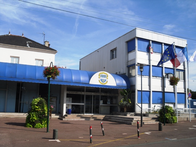

canton of Vigneux-sur-Seine
- canton of France
- Country:
- Capital: Vigneux-sur-Seine
- Coordinates: 48° 42' 0" N, 2° 25' 1" E
- GPS tracks (wikiloc): [Link]
- Population: 57317


canton of Viry-Châtillon
- canton of France
- Country:
- Capital: Viry-Châtillon
- Coordinates: 48° 40' 0" N, 2° 23' 0" E
- GPS tracks (wikiloc): [Link]
- Population: 59255

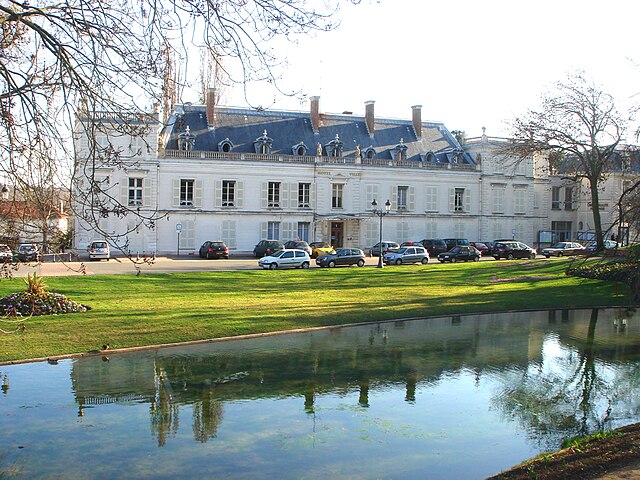
canton of Corbeil-Essonnes-Ouest
- canton of France (until March 2015)
- Country:
- Capital: Corbeil-Essonnes
- Coordinates: 48° 36' 50" N, 2° 28' 55" E
- GPS tracks (wikiloc): [Link]


canton of Draveil
- canton of France
- Country:
- Capital: Draveil
- Coordinates: 48° 41' 7" N, 2° 24' 29" E
- GPS tracks (wikiloc): [Link]
- Population: 53139


canton of Mennecy
- canton of France
- Country:
- Capital: Mennecy
- Coordinates: 48° 35' 21" N, 2° 27' 13" E
- GPS tracks (wikiloc): [Link]
- Population: 66564
canton of Milly-la-Forêt
- canton of France
- Country:
- Capital: Milly-la-Forêt
- Coordinates: 48° 24' 13" N, 2° 28' 1" E
- GPS tracks (wikiloc): [Link]

canton of Morsang-sur-Orge
- canton of France
- Country:
- Capital: Morsang-sur-Orge
- Coordinates: 48° 39' 42" N, 2° 20' 46" E
- GPS tracks (wikiloc): [Link]

canton of Ris-Orangis
- canton of France
- Country:
- Capital: Ris-Orangis
- Coordinates: 48° 39' 13" N, 2° 24' 58" E
- GPS tracks (wikiloc): [Link]
- Population: 56237


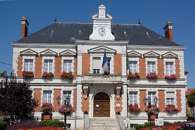
canton of Yerres
- canton of France
- Country:
- Capital: Yerres
- Coordinates: 48° 43' 2" N, 2° 29' 17" E
- GPS tracks (wikiloc): [Link]
- Population: 49218


canton of Épinay-sous-Sénart
- canton of France
- Country:
- Capital: Épinay-sous-Sénart
- Coordinates: 48° 41' 5" N, 2° 32' 14" E
- GPS tracks (wikiloc): [Link]
- Population: 56666


canton of Saint-Germain-lès-Corbeil
- canton of France (until March 2015)
- Country:
- Capital: Saint-Germain-lès-Corbeil
- Coordinates: 48° 37' 53" N, 2° 27' 39" E
- GPS tracks (wikiloc): [Link]
canton of Corbeil-Essonnes-Est
- canton of France (until March 2015)
- Country:
- Capital: Corbeil-Essonnes
- Coordinates: 48° 36' 50" N, 2° 28' 55" E
- GPS tracks (wikiloc): [Link]