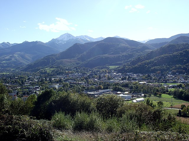
Bagnères-de-Bigorre (arrondissement de Bagnères-de-Bigorre)
- arrondissement of France
- Country:

- Capital: Bagnères-de-Bigorre
- Coordinates: 42° 55' 0" N, 0° 15' 0" E


- GPS tracks (wikiloc): [Link]
- Area: 1676 sq km
- Population: 49130
- Wikipedia en: wiki(en)
- Wikipedia: wiki(fr)
- Wikidata storage: Wikidata: Q582305
- Freebase ID: [/m/095gx1]
- GeoNames ID: Alt: [3035417]
- OSM relation ID: [2520536]
- INSEE arrondissement code: [652]
- GNS Unique Feature ID: -1409897
Includes regions:

canton of Barthe-de-Neste
- canton of France (until March 2015)
- Country:

- Capital: La Barthe-de-Neste
- Coordinates: 43° 3' 48" N, 0° 20' 52" E


- GPS tracks (wikiloc): [Link]

canton of Vielle-Aure
- canton of France (until March 2015)
- Country:

- Capital: Vielle-Aure
- Coordinates: 42° 49' 16" N, 0° 19' 39" E


- GPS tracks (wikiloc): [Link]

canton of Bagnères-de-Bigorre
- canton of France
- Country:

- Capital: Bagnères-de-Bigorre
- Coordinates: 43° 5' 20" N, 0° 9' 34" E


- GPS tracks (wikiloc): [Link]

canton of Bordères-Louron
- canton of France
- Country:

- Capital: Bordères-Louron
- Coordinates: 42° 48' 58" N, 0° 24' 58" E


- GPS tracks (wikiloc): [Link]

canton of Lannemezan
- canton of France
- Country:

- Capital: Lannemezan
- Coordinates: 43° 6' 54" N, 0° 18' 55" E


- GPS tracks (wikiloc): [Link]

canton of Mauléon-Barousse
- canton of France
- Country:

- Capital: Mauléon-Barousse
- Coordinates: 42° 57' 37" N, 0° 34' 7" E


- GPS tracks (wikiloc): [Link]
- Area: 171.13 sq km
- Population: 2836

canton of Saint-Laurent-de-Neste
- canton of France (until March 2015)
- Country:

- Capital: Saint-Laurent-de-Neste
- Coordinates: 43° 2' 45" N, 0° 29' 10" E


- GPS tracks (wikiloc): [Link]


